Best Texas Scenery Spots to Capture by Drone
Texas offers drone photographers spectacular, diverse landscapes to capture. You'll find the dramatic red walls of Palo Duro Canyon, sleek urban skylines of Dallas and Houston, rolling hills of the Texas Hill Country, majestic vistas around Big Bend country, and expansive recreational lakes with stunning shorelines.
Each region presents unique aerial opportunities—from desert rock formations to metropolitan architecture interplaying with green spaces. The right timing during golden hour will transform your aerial portfolio with perspectives impossible from ground level, and the right permissions keep your flights safe and legal.
Dramatic Canyons and Rock Formations of West Texas
https://www.youtube.com/watch?v=GvXqV8j4QqQ
While Texas offers countless drone photography opportunities, the magnificent canyons and rock formations of West Texas stand out as premier destinations for aerial capture. Palo Duro Canyon, often called America's second-largest canyon, stretches about 120 miles with dramatic red and orange multi-layered geological strata dating back hundreds of millions of years.
Your drone can access perspectives impossible to reach otherwise, documenting rugged terrain and capturing stark beauty where sparse desert vegetation contrasts with ancient rock layers. These largely unchanged formations offer both scientific value and breathtaking imagery.
You'll also find extraordinary subjects in the pink granite dome of Enchanted Rock, rising roughly 425 feet with panoramic Hill Country views, and the wide High Plains mesas and boulder fields that reveal interesting weathering from above.
Important note: launching or landing drones inside U.S. national parks (for example, within Big Bend National Park) is prohibited by NPS policy; in Texas State Parks, flights are limited to designated areas or require specific permission for filming, so always confirm park rules before you fly.
Urban Skylines and Green Spaces in Dallas–Houston Metro Areas
View this post on Instagram
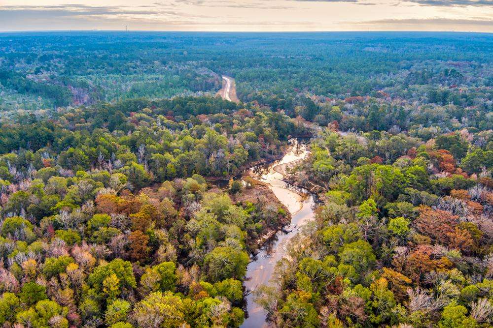
Venturing into the Texas Hill Country reveals nature's masterpiece of undulating landscapes and winding waterways that create a drone photographer's paradise. Launch only where permitted and consider staging outside sensitive areas when needed. Capture Enchanted Rock's sweeping granite dome from legal vantage points, then pivot to Pedernales Falls to document stepped limestone shelves and flowing cascades. The Llano and San Saba Rivers offer pastoral ribbons through rolling terrain, while the Willow City Loop, a 13-mile country road northeast of Fredericksburg, provides exceptional wildflower season aerials—just be mindful of property boundaries and traffic when choosing launch/landing sites. Early spring brings bluebonnets and fields of color that frame historic Hill Country towns in storybook fashion. Safety & compliance tip: many Texas State Parks restrict or permit drones only with authorization (some parks designate specific areas). Always check the park page or call the office for the latest guidance before flying. Deep within Texas's southwestern frontier, the broader Big Bend region unfolds where dramatic landscapes meet rugged wilderness—but know before you go: drones are not allowed to launch, land, or operate inside Big Bend National Park or the Rio Grande Wild & Scenic River. Instead, consider legal alternatives outside the national park—for example, scenery along nearby highways, private property with permission, or Big Bend Ranch State Park (managed by TPWD), where activities are subject to state park rules and may require permits. You'll still capture striking contrasts of Chisos-country silhouettes, desert basins, and river canyons from lawful locations at sunrise or sunset, and you can save night work in the national park for ground-based astrophotography. The Ross Maxwell Scenic Drive offers classic viewpoints for scouting, even if your drone stays packed while inside NPS boundaries. Texas lakes and reservoirs offer some of the most diverse aerial photography opportunities in the state, where shimmering waters meet distinctive landscapes perfect for drone capture. Canyon Lake's extensive ~80-mile shoreline and boating infrastructure creates dynamic scenes, while White Rock Lake blends historic perspectives with urban nature in Dallas. For contrasting environments, consider: Each location offers distinctive seasonal changes, wildlife activity, and year-round recreation for compelling aerial compositions. As with any popular park, confirm local rules and airspace before launch; controlled airspace and temporary flight restrictions can affect even familiar spots.Texas Hill Country's Rolling Landscapes and Waterways
Big Bend's Majestic Mountain and River Vistas
Recreational Lakes and Reservoirs for Aerial Photography