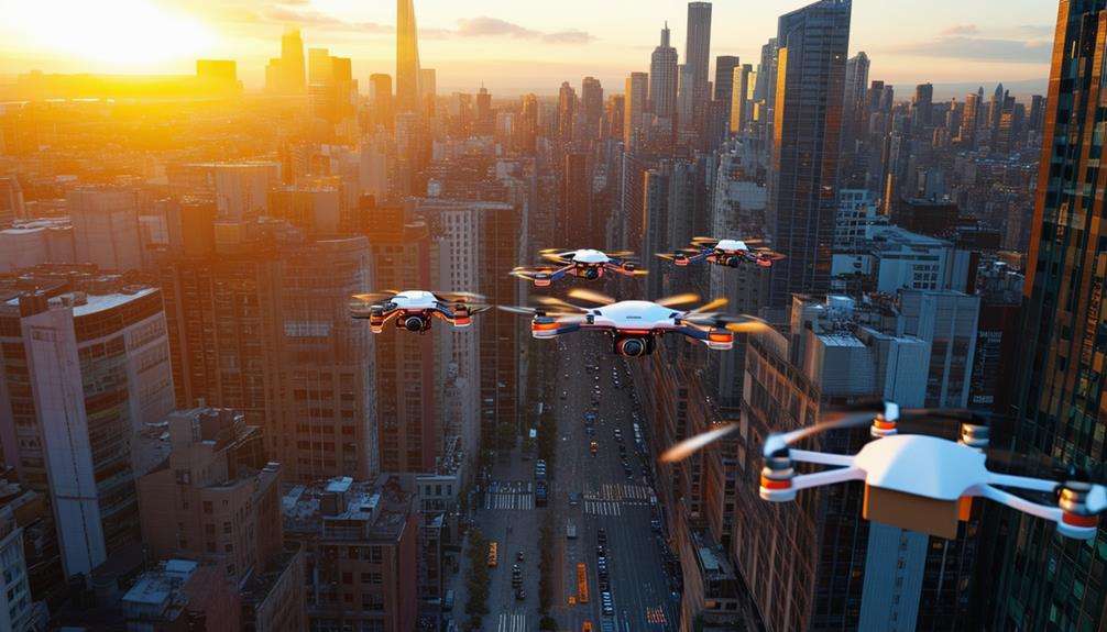
Drone-Friendly Zones in San Antonio’s Urban Areas

You've got your drone charged and ready, but where can you legally send it skyward in San Antonio? The city and nearby areas offer several spots where you can capture aerial footage without running afoul of rules. From Crownridge Canyon’s hill-country views to Castroville’s darker skies just outside the city, these options let you practice your skills while respecting airspace limits. Before you launch, there’s critical information about authorizations, permits, and no-fly zones you’ll need to know.
Best Public Parks for Drone Photography in San Antonio
While exploring San Antonio’s aerial scene, you’ll find parks that work well for drone practice with varied landscapes and wind conditions. Crownridge Canyon Park offers thick vegetation and ridge lines for unique compositions—weekday visits help you avoid crowds. James Kiehl Natural Area (outside city limits) provides quiet grasslands with fewer obstacles for calmer flights. For urban shots, Travis Park mixes tree canopy with downtown backdrops, but always check for events or Temporary Flight Restrictions (TFRs) before flying. Castroville Regional Park (west of San Antonio) features open fields that can simplify launch and recovery, plus darker skies ideal for evening light trails. Raymond Russell Park often has favorable wind gaps and easy access for quick practice sessions. Woodlawn Lake Park is popular and photogenic around the water and trails—check airspace status and local event schedules before you go.Understanding San Antonio’s Airspace Restrictions and Requirements
Before launching in San Antonio, you’ll navigate federal rules plus local considerations. The urban core sits near controlled airspace for San Antonio International (SAT) and Stinson (SSF), which may require LAANC authorization or written FAA approval—use Aloft Air Control (B4UFLY partner) or another FAA-approved USS to request access where available. Key compliance basics include: keep your drone under 400 ft AGL, maintain visual line of sight, register drones over 0.55 lb ($5), and pass TRUST for recreational flights. National Park Service sites—such as San Antonio Missions NHP—are no-drone zones without a written superintendent exception. Note: Older advice about a blanket “5-mile” radius is outdated. What matters is whether you’re in controlled airspace that requires authorization via LAANC/FAA, not a fixed distance.
Legal Considerations When Flying in City Limits
Stay aligned with federal rules and Texas statutes. Texas Government Code Chapter 423 restricts certain surveillance imaging without consent and lists lawful uses; it does not create a general “8-foot” flight rule for drones (that height reference applies to a narrow, non-drone imaging clause and isn’t a drone altitude limit). Within city limits, continue to maintain VLOS, respect privacy, and obtain LAANC/FAA authorization when operating in controlled airspace near SAT or SSF. Commercial operators need a Part 107 Remote Pilot Certificate, and all pilots must honor the 400-ft ceiling unless otherwise authorized.
Padre Park: A Prime Location for Drone Enthusiasts
View this post on Instagram
Nestled along the San Antonio River on the south side, Padre Park gives pilots a blend of open turf and riparian scenery suited to relaxed practice and cinematic orbits. You’ll find:
- River views and tree-lined banks
- Seasonal foliage and shifting light
- Forested edges against subtle urban backgrounds
- Generally less-crowded spaces for setup and recovery
The park is located at 6515 Padre Dr, San Antonio, TX 78214. While flying here, follow standard FAA rules: maintain VLOS, keep under 400 ft AGL, and ensure registration/TRUST status where required.
Essential Apps and Tools for San Antonio Drone Pilots
Build a toolkit that’s current and compliant. Start with FAA DroneZone for registration and B4UFLY (powered by Aloft) for real-time airspace status and TFRs. For on-the-spot authorizations in controlled airspace, use Aloft Air Control (LAANC) or another active FAA-approved USS. Weather planning via UAV Forecast helps you gauge wind, gusts, and KP index. (Note: Skyward and the legacy AirMap app have shut down; switch to active providers.) Keep your TRUST certificate handy for recreational flights.
Comanche Lookout and Denman Estate: Scenic Drone Opportunities
San Antonio also offers photogenic hilltops and architectural textures. Comanche Lookout Park spans 96 acres and includes one of Bexar County’s higher points, making it ideal for horizon reveals and low, compliant passes. Denman Estate Park contrasts natural landscaping with its Korean pavilion and reflective pond for smooth, cinematic shots—check airspace status before launch. As always:
- Keep your aircraft within visual line of sight
- Check B4UFLY before arming
- Avoid controlled airspace conflicts near Stinson/SAT without authorization
- Respect privacy and public safety at all times
Related posts