Drones in Marine and Coastal Monitoring
Drones offer a compelling solution for monitoring our vast and dynamic coastlines, addressing numerous challenges effectively. They provide high-resolution images and detailed topographical data, enabling the swift and accurate identification of erosion hotspots. Equipped with advanced LiDAR cameras, these drones collect precise data over large areas, seamlessly integrating with GPS and GIS systems. This technology is not just cost-effective but also transformative for coastal management. However, how exactly do these drones operate in such complex environments, and what are the potential pitfalls? Let's explore further.
Overview of Drone Technology
Drone technology is revolutionizing the monitoring of marine and coastal environments, offering unparalleled capabilities for data collection. Equipped with LiDAR cameras, drones capture high-resolution images and detailed topographical information, making them indispensable for monitoring coastal erosion. Their efficiency in covering vast coastal areas allows for the swift identification of erosion hotspots.
The integration of GPS and GIS with drone technology enhances decision-making processes. Precise data collection by drones facilitates the development of effective coastal management strategies. Continuous monitoring enables the tracking of erosion patterns over time, providing crucial insights for long-term sustainability.
Drones also present a cost-effective and efficient alternative to traditional monitoring methods. Instead of labor-intensive and time-consuming techniques, drones can rapidly gather accurate and detailed data. This not only saves time but ensures access to up-to-date information for informed decision-making.
Benefits of Drones in Coastal Monitoring
Leveraging cutting-edge technology, drones provide high-resolution images and detailed topographical information, significantly enhancing coastal monitoring efforts. Drones offer precise, up-to-date data essential for effective coastal management.
When integrated with Geographic Information Systems (GIS) and Global Positioning Systems (GPS), this data offers in-depth insights into erosion hotspots, enabling well-informed decision-making.
Drones surpass traditional methods like manned aircraft by being more cost-effective and efficient. They enable continuous monitoring, capturing changes in erosion patterns over time.
Through remote sensing, drones identify areas at higher risk of erosion, aiding in the development of effective erosion control strategies. This proactive approach ensures that damage can be mitigated before it escalates. Moreover, the real-time data gathered from drones enhances the ability to track and respond to coastal changes promptly, supporting the long-term sustainability of the coastline.
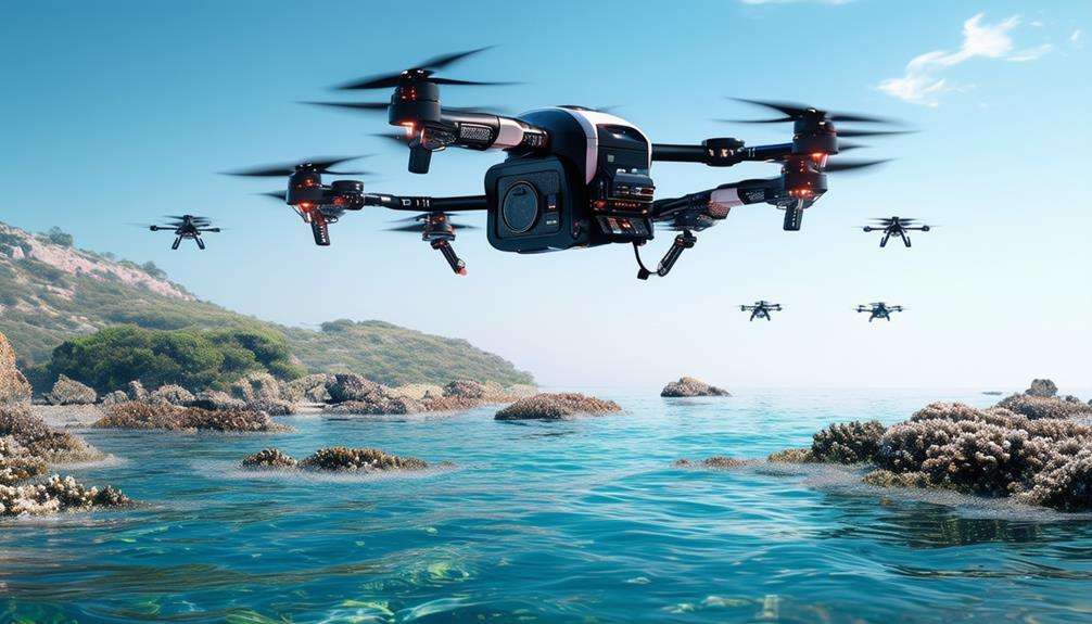
Types of Drones Used
In marine and coastal monitoring, a variety of drones are utilized to address different surveying and data collection requirements.
Fixed-Wing Drones
Fixed-wing drones are ideal for large-area surveys and long-duration flights. Their efficient design allows extensive coverage of marine environments without frequent battery changes, making them suitable for aerial data collection over vast coastal regions.
Multirotor Drones
Multirotor drones excel in maneuverability, making them perfect for detailed inspections and close-range data collection. Their ability to hover and navigate tight spaces provides precise control, essential for examining specific coastal features and habitats.
Hybrid Drones
Hybrid drones combine the capabilities of fixed-wing and multirotor drones, offering versatility for various monitoring tasks. These systems can switch between long-duration flights and agile maneuvers, making them invaluable in coastal monitoring.
Autonomous Drones
Autonomous drones, equipped with advanced sensors and GPS technology, enhance precision in data collection and mapping. These UAVs operate independently, delivering accurate and consistent data.
Remotely Operated Vehicles (ROVs)
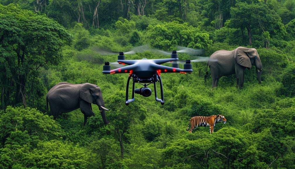
For underwater inspections, Remotely Operated Vehicles (ROVs) are indispensable. These underwater drones provide insights into marine ecosystems and habitats that are otherwise difficult to access, expanding the capacity to monitor and protect coastal waters effectively.
Data Collection Methods
High-resolution cameras and LiDAR sensors mounted on drones capture detailed data essential for effective marine and coastal monitoring. Utilizing UAVs for this purpose leverages technology to provide unparalleled insights into coastal erosion and other environmental changes.
The data collected by these drones is processed using advanced image processing techniques. For instance, Structure from Motion (SfM) software helps derive accurate elevations and depths in nearshore areas, which is particularly beneficial for mapping underwater topography and identifying changes over time.
Additionally, Autonomous Surface Vehicles (ASVs) complement drone surveys by assisting in bathymetric mapping, ensuring a comprehensive view of both above and below the water's surface.
Integrating methodologies that incorporate computer algorithms enhances the precision and reliability of the data, making it invaluable for the management and planning of coastal areas. The CENOTE Act supports NOAA's efforts to employ these unmanned vehicles, bridging information gaps along coastlines.
This data is crucial for developing strategies to mitigate coastal erosion and other environmental challenges. Essentially, drones offer a powerful toolset that transforms coastal monitoring into a more efficient and accurate science.
Case Studies in Marine Monitoring
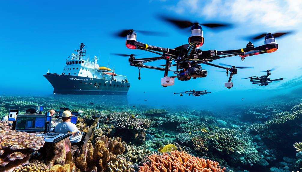
Case studies in marine monitoring often highlight two primary applications:
- Coral reef health assessment
- Fish population tracking
Drones equipped with specialized sensors can evaluate reef vitality and identify temporal changes. Additionally, UAVs facilitate precise fish population monitoring, providing critical data for conservation initiatives.
Coral Reef Health Analysis
Drones offer researchers high-resolution imagery that reveals crucial details about coral reef health and structure. As a coastal manager, you can leverage unmanned aerial vehicles (UAVs) to monitor coastal erosion and assess the condition of coral reefs effectively. Integrating UAVs into coastal management allows you to proactively address climate change impacts.
With UAVs, you can accurately track coral bleaching events and identify stressed reef areas. These drones capture detailed data on environmental stressors such as rising sea temperatures and pollution, enabling informed decision-making.
Furthermore, drone technology provides 3D models of coral reefs, facilitating precise assessments of reef health indicators like coral cover and biodiversity. This capability is invaluable for understanding the overall health and diversity of the reefs you're monitoring.
Fish Population Tracking
Leveraging drone technology, unprecedented insights into fish populations can be obtained by monitoring species, behaviors, and migrations with remarkable precision. In various marine environments, drones equipped with high-resolution cameras capture detailed images of fish aggregations, aiding in accurate population assessments. This data is crucial for conservation efforts and sustainable fisheries management.
Case studies have shown that drones effectively track fish migration patterns and identify breeding grounds. For example, drones can hover over shallow coastal areas where fish spawn, providing valuable data on reproductive behaviors and population dynamics. Additionally, by observing fish responses to environmental changes, predictions can be made regarding shifts in migration patterns, allowing for the adaptation of conservation strategies.
How Drones Improve Fish Population Tracking:
| Case Study | Key Focus | Outcome |
|---|---|---|
| Coral Reef Monitoring | Species Behavior | Advanced protection strategies |
| Coastal Spawning | Breeding Grounds | Enhanced reproductive data |
| Migration Tracking | Migration Patterns | Adaptive conservation techniques |
| Environmental Impact | Response to Changes | Predictive management practices |
This concise and relevant overview demonstrates how drone technology enhances our ability to monitor and manage fish populations effectively.
Advancements in Drone Technology
Significant advancements in drone technology have revolutionized the monitoring of coastal and marine environments, offering unprecedented accuracy and efficiency. Equipped with LiDAR cameras, drones can now capture high-resolution data, simplifying the process of monitoring beach erosion. The integration of GPS and GIS technology enhances the collection of detailed topographical information, thereby improving decision-making capabilities. This combination allows for the rapid identification of erosion hotspots and the development of effective mitigation strategies.
Drones outfitted with multispectral cameras provide detailed data on vegetation health and sediment types, which is crucial for understanding coastal dynamics and implementing protective measures. High-quality sensors enable the collection of precise data that was previously challenging or impossible to obtain.
Furthermore, drones can cover extensive coastal areas efficiently, saving both time and resources. Continuous monitoring using advanced technologies helps track changes in erosion patterns over time, thereby facilitating informed decisions for effective coastal management.
Real-time monitoring and analysis enable swift responses to any changes, ensuring that mitigation strategies remain up-to-date and effective. This proactive approach is essential for preserving coastal and marine ecosystems.
Challenges and Limitations
Despite significant advancements in drone technology for marine and coastal monitoring, several challenges and limitations hinder their widespread adoption. One major issue is regulatory hurdles. Strict airspace restrictions and licensing requirements can make it difficult for operators to deploy drones effectively in certain areas.
Additionally, adverse weather conditions such as strong winds, heavy rain, and fog can severely limit the drones' ability to capture accurate data. Privacy concerns also present a significant challenge. Capturing images and data in sensitive coastal areas necessitates proper consent to avoid legal issues, complicating operations, especially in populated or protected regions.
Data processing complexities further complicate the scenario. The high-resolution imagery and vast amounts of data collected require specialized software and skills for effective analysis, which can be a bottleneck given that not all organizations have access to these resources.
Moreover, the skill requirements for operating and maintaining drones are high. Trained personnel are essential, and finding individuals with the necessary expertise can be a limiting factor. These combined challenges make it evident that while drone technology offers promising benefits, overcoming these obstacles is crucial for its effective implementation.
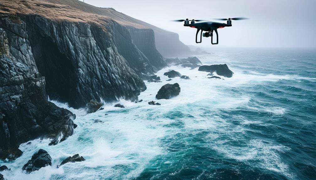
Regulatory and Safety Considerations
When flying drones in marine and coastal areas, it's essential to comply with local laws and ensure safe operations. Obtain the necessary certifications and adhere to airspace regulations to avoid legal complications. Always prioritize safety by maintaining a clear line of sight, avoiding disturbances to wildlife, and checking weather conditions.
Compliance With Local Laws
To ensure your drone operations in marine and coastal areas are both legal and safe, it's essential to understand and comply with local regulations. Adhering to these laws not only ensures the legality of your activities but also shows respect for the environment and public safety. Drone laws can vary significantly by location, so thorough research is indispensable for navigating these complexities.
Here are three key steps to ensure compliance:
- Research Local Regulations: Before flying, thoroughly research the specific drone laws applicable to your area. This includes understanding regional regulations, permit requirements, and any flight restrictions.
- Obtain Necessary Permits: Certain locations may require special permits for drone operations, especially in sensitive coastal or marine zones. Ensure you have all the required documentation before you launch.
- Follow Safety Guidelines: Adhere to safety guidelines to mitigate risks, such as maintaining a clear line of sight, flying within designated altitude limits, and avoiding disturbances to wildlife.
Drone Operation Safety
Ensuring the safety of drone operations in marine and coastal areas requires strict adherence to regulatory guidelines and meticulous planning. Begin by understanding and complying with rules set by aviation authorities such as the FAA. Always maintain a clear line of sight with your drone to avoid collisions and ensure optimal control. Avoid flying over populated areas to minimize risks to people and property.
Before taking off, secure the necessary permits for drone operation in your target area. Be mindful of airspace restrictions, as some zones may be off-limits or require special clearance. Check weather conditions to ensure safe flying; strong winds or rain can jeopardize your mission and the drone's integrity.
Training and licensing are crucial for safe operations. Ensure you're well-versed in emergency procedures to handle unexpected situations like drone malfunctions or sudden wildlife interactions. Compliance with privacy laws, data protection regulations, and environmental impact assessments is also essential.
Future Applications of Drones
Drones will transform marine and coastal monitoring by offering enhanced data integration with Geographic Information Systems (GIS) and historical information for comprehensive analysis. These advancements will facilitate the overlay of real-time drone data with GIS maps and historical records, enabling a detailed examination of coastal changes and improving coastal erosion management.
Drones will be pivotal in identifying erosion hotspots, monitoring temporal changes, and formulating targeted mitigation strategies. Here are three key future applications:
- Advanced Data Integration: Drones will integrate real-time data with GIS seamlessly, providing a robust platform for coastal mapping and monitoring.
- Historical Comparison: Analyzing historical data alongside current drone data will offer insights into long-term coastal changes and future trends.
- Informed Decision-Making: Detailed analysis from integrated data will enable more precise and effective coastal management strategies.
These advancements will make coastal monitoring more efficient and cost-effective. High-resolution data collection will enhance understanding of coastal dynamics, leading to more accurate interventions to safeguard our shorelines.
Integrating Drones With Other Technologies
Integrating drones with technologies such as LiDAR, GPS, and GIS significantly enhances data collection and real-time monitoring capabilities. By combining drone data with AI systems, vast datasets can be analyzed quickly to identify patterns and predict coastal changes. This synergy ensures a comprehensive and efficient approach to marine and coastal monitoring.
Enhanced Data Collection
Integrating drones with advanced technologies like LiDAR, GPS, and multispectral cameras significantly enhances coastal monitoring and data collection, providing unprecedented accuracy and detailed insights. Drones equipped with LiDAR can capture high-resolution topography data, essential for precise coastal erosion monitoring. This data, combined with GPS and GIS, facilitates informed decision-making through accurate spatial information.
Below are three key benefits of this integration:
- High-Resolution Topography: LiDAR-equipped drones capture detailed elevation data, enabling precise monitoring of coastal erosion. This high-resolution data is crucial for developing effective erosion mitigation strategies.
- Comprehensive Spatial Analysis: Integrating drone-collected data with GIS allows for the visualization and analysis of coastal changes over time. This helps in understanding patterns and trends in coastal erosion, aiding in the creation of informed management plans.
- Vegetation and Sediment Insights: Multispectral cameras on drones provide essential information about vegetation health and sediment composition in coastal areas. This data is vital for assessing ecosystem health and making informed decisions regarding coastal conservation.
Combining drone data with ground surveys and satellite imagery offers a comprehensive analysis of coastal erosion trends. Continuous monitoring using drones allows for tracking changes over time, enabling timely and effective responses to coastal challenges.
Real-Time Monitoring Capabilities
Leveraging drones equipped with GPS, GIS, and LiDAR technologies enables real-time and precise tracking of coastal erosion hotspots. These advanced tools allow for the immediate observation and analysis of coastal erosion patterns. High-resolution images captured by LiDAR cameras provide detailed insights into the changing topography, essential for identifying high-risk erosion areas.
By integrating drone data with satellite imaging and ground surveys, you gain a comprehensive understanding of erosion trends. This facilitates quick responses to emerging threats and the implementation of effective mitigation strategies. Real-time monitoring capabilities eliminate the need for periodic updates, providing continuous, up-to-date information that enhances decision-making and prioritizes urgent areas.
Combining GPS and GIS technologies with drones ensures accurate data collection and mapping, pinpointing specific erosion hotspots. This integration boosts monitoring efforts and supports long-term coastal management plans, promoting sustainable and effective protection of marine and coastal environments.
Synergy With AI Systems
Integrating drones with AI systems transforms marine and coastal monitoring by facilitating real-time data analysis and improving decision-making efficiency. When drones operate in synergy with AI, they can process vast amounts of data to identify patterns, trends, and anomalies within marine ecosystems. This integration yields actionable insights that significantly enhance the monitoring and management of these sensitive areas.
Drones equipped with AI capabilities can autonomously detect and classify marine species, making biodiversity monitoring more efficient and accurate. This fusion of technologies doesn't just streamline data interpretation but also enables rapid response to environmental changes.
Here are three key benefits of integrating drones and AI systems in marine and coastal monitoring:
- Real-Time Data Analysis: AI algorithms can process data instantaneously, allowing for the immediate identification of issues requiring attention.
- Enhanced Biodiversity Monitoring: Drones can autonomously detect diverse marine species, providing reliable data on species distribution and population health.
- Rapid Response to Environmental Changes: The synergy with AI systems facilitates quick analysis and action, helping mitigate potential environmental threats before they escalate.
Conclusion
In conclusion, drones have revolutionized marine and coastal monitoring by delivering precise, efficient, and cost-effective solutions. They're crucial for identifying erosion hotspots and tracking environmental changes in real-time.
Although challenges and regulations persist, the integration of drones with GPS, GIS, and other technologies holds promise for even greater advancements. Adopting these innovations will enhance decision-making and ensure effective coastal management. With drones at the forefront, the future of marine monitoring is promising and bright.