How Drone Pilots Control Complex UAV Systems
Controlling a complex UAV system involves managing multiple tasks simultaneously. Drone pilots must engage in real-time monitoring and data analysis, leveraging advanced navigation systems and AI for predictive maintenance. They optimize flight paths and make rapid decisions based on live data.
Effective ground control communication is crucial, as is the ability to navigate challenging environments. How do they ensure precise positioning and mission success? It's a blend of advanced technology and skilled operation that makes it all possible.
Real-Time Monitoring
Real-time monitoring enables drone pilots to track UAV position, altitude, speed, and sensor data during missions. This involves relying on live video feeds and telemetry data to stay informed about the drone's operational status and performance, which is crucial for making immediate adjustments to flight paths or mission objectives as conditions change.
By analyzing live video feeds, pilots can observe environmental conditions and detect potential threats, ensuring the UAV's safety. Telemetry data provides critical information on the drone's health, including battery levels, signal strength, and system diagnostics. This data enhances situational awareness, allowing pilots to make informed decisions quickly. Real-time monitoring isn't just about tracking metrics; it's about enhancing the ability to respond dynamically to evolving situations.
With a clear picture of the drone's status and surroundings, pilots can better navigate complex environments and adapt missions in real time. This capability is essential for mission success, as it helps preempt issues and maintain effective UAV performance throughout the flight.
Data Analysis
When analyzing real-time data from your UAV, you aren't just observing but also optimizing flight paths and identifying potential issues preemptively. By examining predictive maintenance insights, you can prevent costly repairs and extend the lifespan of your equipment. Additionally, understanding flight pattern analysis enhances efficiency and ensures mission success.
Real-Time Data Monitoring
Drone pilots vigilantly monitor live data feeds to analyze critical information from sensors and cameras during flights. Real-time data monitoring is essential for making informed decisions based on telemetry data, live feeds, and sensor readings. By continuously evaluating video footage and other metrics, pilots can identify potential threats, targets, or anomalies in the operational environment.
Monitoring telemetry data such as altitude, speed, and battery levels ensures that UAVs operate safely and effectively. Sensors provide crucial information on environmental conditions, which pilots can use to adjust flight paths and avoid obstacles. This real-time analysis is vital for maximizing the efficiency, accuracy, and success of missions.
As pilots analyze live feeds, they can quickly respond to changes or unexpected events during the flight. For example, spotting an obstacle in the video feed allows for immediate evasive action, preventing potential mishaps. Additionally, monitoring battery levels ensures timely returns or landings, avoiding sudden power loss. This comprehensive approach to real-time data monitoring enhances the reliability and success of UAV operations.
Predictive Maintenance Insights
Predictive maintenance leverages data analysis to forecast potential equipment failures, ensuring UAV operations remain uninterrupted. By continuously monitoring sensor data and performance metrics, drone pilots can identify patterns indicative of impending issues. This proactive approach prevents unexpected downtime, optimizes maintenance schedules, and enhances operational efficiency.
Advanced algorithms in predictive maintenance employ AI and machine learning to detect anomalies and predict maintenance needs accurately. These technologies analyze extensive datasets, enabling pilots to foresee problems and address them before they escalate. Consequently, informed decisions can be made to improve the reliability and safety of UAV systems.
Implementing predictive maintenance not only saves time but also reduces costs. Early identification and resolution of issues minimize the need for costly repairs and replacements. This approach bolsters the overall dependability of UAV systems, ensuring readiness for critical missions.
Flight Pattern Analysis
Analyzing flight pattern data allows for the optimization of UAV routes and the enhancement of operational efficiency. By identifying trends, anomalies, and potential risks in UAV flight patterns, you can make proactive decisions that improve navigation, reduce fuel consumption, and ensure mission success.
Here's how to effectively utilize flight pattern analysis:
- Interpret Telemetry Data: Monitor performance metrics such as speed, altitude, and battery usage through telemetry data. Identifying inefficiencies in these areas helps in optimizing flight paths.
- Analyze Sensor Readings: Evaluate sensor data to understand environmental conditions impacting your UAV. This enables route adjustments to avoid obstacles and adverse weather, thus improving flight safety.
- Examine GPS Coordinates: Use GPS data to track precise locations and movements of your drone. Mapping these coordinates assists in planning efficient routes and identifying deviations from planned paths.
- Spot Trends and Anomalies: Regularly review flight patterns to detect unusual behaviors or trends. This vigilance allows for the anticipation and mitigation of potential risks before they escalate.
Remote Operation
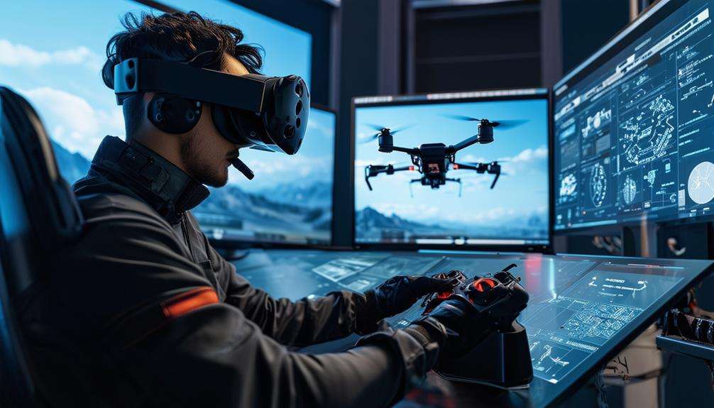
Operating UAV systems remotely requires seamless coordination between the ground control station and the drone to ensure mission success. Effective communication is crucial, enabling you to maintain situational awareness and execute commands accurately. Real-time data streaming from the drone's onboard sensors, cameras, and navigation systems is displayed on your control station's screens, providing essential information for decision-making.
You aren't merely piloting a drone; you're navigating through complex environments, adjusting altitude, speed, and direction to achieve mission objectives. The control station, equipped with joysticks and communication links, acts as an extension of your senses, facilitating informed decisions.
Each movement on the joystick translates into a command that the drone executes almost instantaneously, whether it's a minor altitude tweak or a sharp turn. Remote operation goes beyond flying; it involves conducting missions in hazardous or remote areas while prioritizing safety and accuracy. This capability allows you to perform tasks that are too risky or impractical for manned aircraft. With proper coordination and communication, you can achieve exceptional precision and success in your UAV missions.
Advanced Technology
When operating UAV systems with advanced technology, you benefit from high-precision navigation systems that ensure accurate mission execution. Real-time data processing allows for swift decision-making based on up-to-the-minute information. These technologies enhance your ability to manage complex tasks effectively and safely.
High-Precision Navigation Systems
Leveraging high-precision navigation systems, drones utilize GPS, inertial navigation, and advanced sensors to achieve exceptional location tracking during flights. These systems seamlessly integrate real-time data from satellites and onboard sensors, delivering precise positioning information. This sophisticated technology enables the meticulous planning and execution of complex flight paths, including waypoints, altitude adjustments, and obstacle avoidance.
The benefits of high-precision navigation systems for drone operations include:
- Enhanced Accuracy: The synergy between GPS and inertial navigation ensures centimeter-level accuracy, guaranteeing precise movements.
- Environmental Adaptability: Advanced sensors allow the drone to adjust to environmental factors such as wind, temperature, and terrain variations, thereby maintaining stability and accuracy.
- Operational Efficiency: Optimized flight paths reduce time and minimize the need for manual corrections, enhancing overall efficiency.
- Increased Safety: Precise location tracking significantly reduces the risk of collisions and other accidents, thereby improving mission success and safety.
These features collectively enhance the reliability and effectiveness of drone operations, ensuring successful outcomes across various applications.
Real-Time Data Processing
Real-time data processing is at the core of drone operations, enabling pilots to make swift, informed decisions during missions. By leveraging advanced technology, live feeds from cameras and sensors are analyzed to enhance situational awareness. This capability is crucial for adjusting flight paths, acquiring targets, and modifying mission objectives on the fly.
Advanced algorithms and software are essential in this process, allowing for the efficient handling of complex data. This ensures a rapid response to dynamic operational environments. For instance, when piloting a drone through a densely populated area, real-time data processing helps avoid obstacles, monitor potential threats, and maintain a clear focus on mission goals.
Without this technology, missions would be significantly riskier and less effective. Real-time data processing isn't just important; it's essential for mission success and safety. When in the field, remember that this capability is key to maintaining control and achieving objectives. It often determines the difference between a successful mission and a failed one.
High-Resolution Cameras
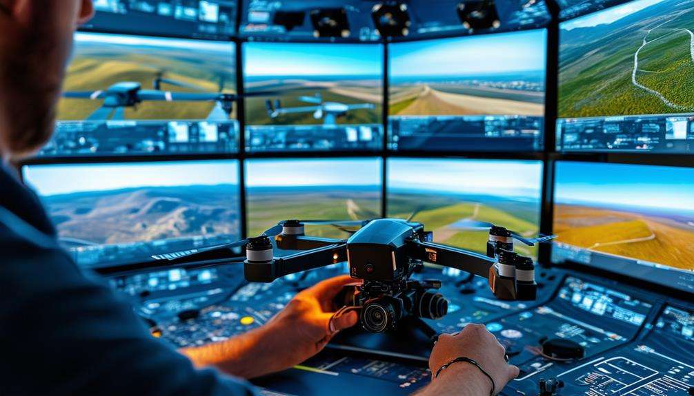
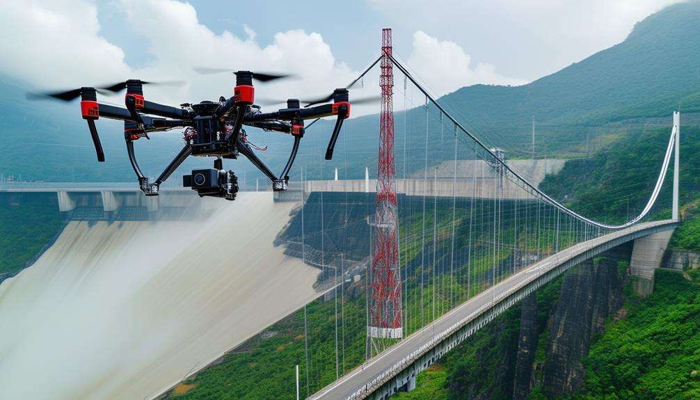
High-resolution cameras on UAVs provide crystal-clear imagery, essential for effective surveillance and reconnaissance missions. With resolutions ranging from 4K to 8K, these cameras ensure no critical details are missed. They're transformative in monitoring and analyzing situations from above.
A standout feature is the zoom capability, allowing you to focus on specific targets or areas of interest from various distances. Whether zooming in on a potential threat or surveying a remote landscape, these cameras offer the flexibility needed.
Additionally, high-resolution cameras provide live video feeds, crucial for real-time monitoring. This feature enables immediate decision-making, enhancing situational awareness and response times.
Here are four key advantages of using high-resolution cameras on UAVs:
- Crystal-clear imagery: Captures sharp and detailed visuals, vital for analysis.
- Zoom capabilities: Focuses on specific targets or areas from a distance, increasing flexibility.
- Live video feeds: Enables real-time monitoring and quick decision-making.
- Stabilization: Ensures steady and sharp footage by counteracting vibrations and movements during flight.
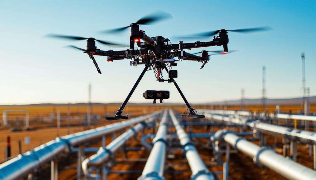
Sensor Utilization
As a drone pilot, you rely on sensor utilization for real-time data analysis and advanced navigation. Sensors such as cameras and radar provide critical information that enhances your situational awareness and decision-making.
Real-time Data Analysis
Drone pilots rely on real-time sensor data for making split-second decisions essential for mission success. By analyzing this data, critical information is gathered, aiding in various mission aspects. Sensor utilization is crucial for detecting and tracking targets, assessing environmental conditions, and making informed decisions swiftly.
Here's how real-time data analysis and sensor utilization contribute significantly:
- Detecting and Tracking Targets: Sensors, such as cameras and infrared detectors, provide accurate identification and tracking of targets, ensuring continuous visual and data confirmation.
- Assessing Environmental Conditions: Real-time data allows for the evaluation of weather, terrain, and other environmental factors, enabling timely adjustments to the mission plan.
- Navigating Obstacles: Sensors deliver essential information to avoid obstacles and prevent collisions, ensuring operational safety and mission success.
- Maintaining Situational Awareness: Continuous sensor data monitoring keeps pilots aware of their surroundings, identifying potential threats and enabling proactive risk mitigation.
Effective sensor utilization enhances UAV operational capabilities, supporting mission objectives with precision and reliability. Leveraging real-time data analysis ensures smooth and successful mission execution.
Advanced Navigation Techniques
Pilots harness advanced navigation techniques by employing sensor fusion to amalgamate data from multiple sensors, ensuring precise positioning and enhanced situational awareness. By integrating GPS, accelerometers, gyroscopes, magnetometers, barometers, and optical sensors, accurate navigation is maintained even in challenging environments.
Sensor fusion synthesizes data from these diverse sensors, enabling the calculation of speed, altitude, heading, and position with exceptional precision. This comprehensive approach ensures that if one sensor's data is compromised or inaccurate, the system can rely on other sensors to sustain optimal performance. For instance, if GPS signals are weak, navigation can still be achieved using data from accelerometers and gyroscopes.
These advanced navigation techniques significantly augment situational awareness by providing real-time data crucial for making on-the-fly decisions. This capability allows for obstacle avoidance, complex terrain following, and precise target tracking. The integration of sensor data guarantees continuous awareness of surroundings, markedly improving the safety, efficiency, and effectiveness of UAV missions. With these tools, confident navigation through intricate environments is assured, supported by the best available technology for accurate and safe operations.
Flight Dynamics
Mastering flight dynamics involves skillfully adjusting altitude, speed, and orientation during UAV missions. This discipline extends beyond basic control, encompassing the management of aerodynamics, propulsion, and stability to ensure smooth and efficient operations. By monitoring real-time data on wind conditions, air pressure, and temperature, you can make precise adjustments to optimize your UAV's performance and maneuverability.
Here are four key aspects to focus on:
- Aerodynamics: Understand the principles of aerodynamics to learn how your UAV interacts with the air. This knowledge helps in minimizing drag and maximizing lift, contributing to more efficient flight.
- Propulsion Management: Adjust your UAV's propulsion system to regulate speed and stability. Effective management ensures your UAV can handle varying flight conditions and mission requirements.
- Real-time Monitoring: Continuously monitor real-time data such as wind speed, air pressure, and temperature. This data is crucial for making timely adjustments to maintain optimal flight dynamics.
- Maneuverability: Enhance your UAV's maneuverability by mastering techniques for navigating complex airspace, executing sharp turns, and maintaining precise control during critical mission phases.
Mission Objectives
Mastering flight dynamics is just the beginning; you must now focus on clearly defining and achieving your mission objectives. For any drone operation, establishing specific goals—whether it's reconnaissance, surveillance, or targeted strikes—is vital.
Meticulous planning is essential, taking into account factors like weather, airspace restrictions, and mission-specific requirements. Such preparation ensures adaptability to changing conditions and successful mission outcomes.
Before takeoff, perform thorough pre-flight checks to ensure the operational readiness and safety of your UAV systems. During flight, continuously monitor various systems and navigation, making real-time adjustments based on mission demands.
For reconnaissance missions, your objective is to gather detailed information on a target area using UAV-mounted cameras and sensors. Surveillance tasks require prolonged observation of a location or activity to ensure continuous data collection.
In targeted strike missions, precision is crucial. You must manage the payload effectively to ensure accurate delivery of ordinance. Throughout all operations, the ability to control and adjust your UAV's payload—be it cameras, sensors, or weapons—is vital for gathering critical information and achieving your mission objectives.
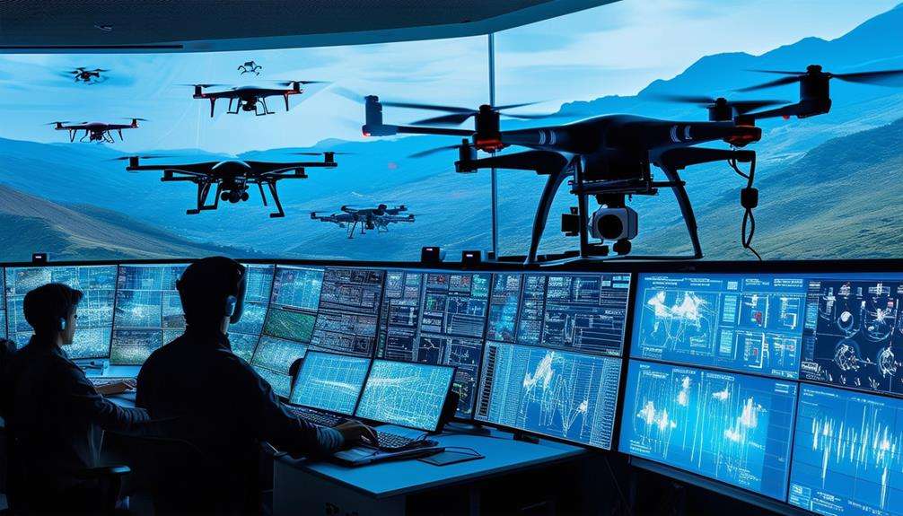
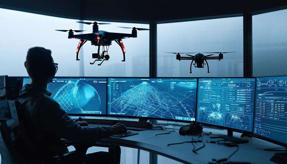
Ground Control Coordination
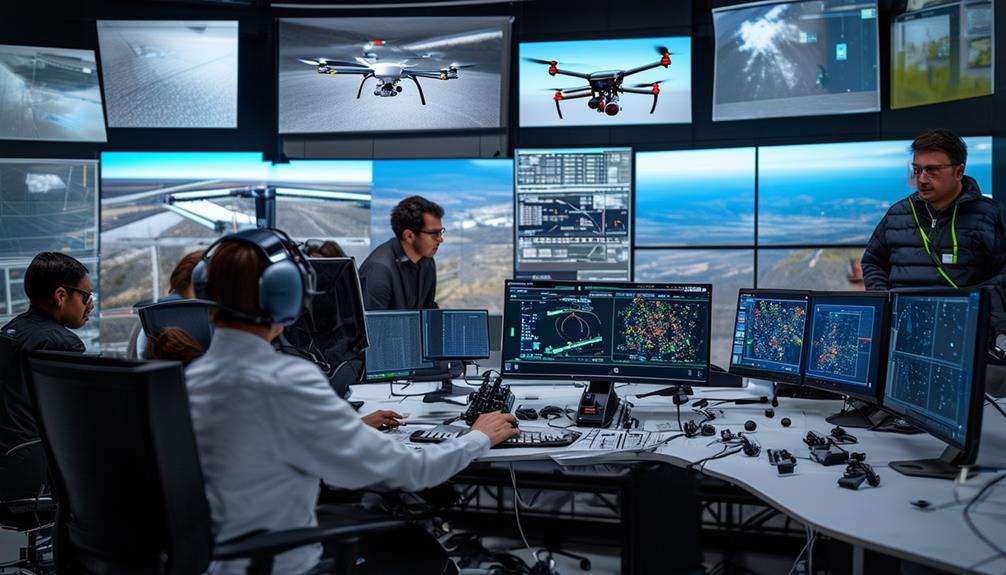
Coordinating with ground control stations, drone pilots leverage advanced technology to maneuver UAVs and ensure mission success. Ground control coordination is the cornerstone of remote operations, enabling pilots to manage complex UAV systems effectively. Key elements include:
- Communication:
- Pilots maintain constant communication with ground control teams to align on mission objectives. This collaboration is essential for informed decision-making.
- Real-Time Data:
- Continuous streams of real-time data from UAVs provide critical situational awareness, allowing pilots to adjust flight paths and mission parameters dynamically.
- Navigation Guidance:
- Ground control stations offer navigation support, including map overlays and GPS data, to help pilots steer UAVs accurately toward their targets.
- Target Identification:
- Advanced imaging and sensor data relayed from UAVs enable pilots to identify and engage targets with precision. Ground control ensures accurate interpretation and timely action on this information.
Situational Awareness
Building on the foundation of ground control coordination, situational awareness is essential for drone pilots to navigate complex environments and achieve mission success. As a drone pilot, you rely heavily on real-time data feeds from various sensors, cameras, and communication systems. These data streams provide critical information on weather conditions, airspace restrictions, and target locations, enabling you to make informed decisions swiftly.
Your situational awareness helps you anticipate potential threats, obstacles, and changes in mission objectives. By utilizing advanced software tools, you can process and interpret vast amounts of data in real-time, enhancing your situational understanding. This capability is crucial when operating in dynamic environments where conditions can change rapidly.
Incorporating a structured approach to situational awareness ensures that you can adapt quickly and effectively, guaranteeing mission success. The following table outlines key components that contribute to improved situational awareness for drone pilots:
| Component | Function | Benefit |
|---|---|---|
| Real-time data feeds | Provides live updates from sensors and cameras | Enables informed decision-making |
| Weather information | Monitors current and forecasted conditions | Anticipates environmental challenges |
| Airspace restrictions | Identifies no-fly zones and permissions | Ensures compliance and safety |
| Target locations | Tracks and updates mission objectives | Ensures accurate and timely execution |
| Advanced software | Analyzes and visualizes data | Enhances situational understanding |
Conclusion
By mastering real-time monitoring and data analysis, drone pilots can effectively control complex UAV systems. Utilizing advanced technology and high-resolution cameras, they navigate challenging environments with precision.
Their understanding of flight dynamics and mission objectives ensures successful outcomes. Coordinating with ground control and maintaining situational awareness, they make swift decisions to keep the mission on track. With these skills, drone pilots aren't just flying drones; they're pioneering the future of UAV operations.
Related posts