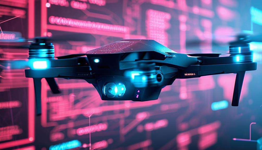
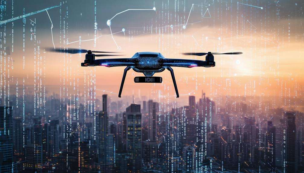
How Drone Sensors and Cameras Work
Drones achieve precise navigation and capture stunning visuals through a combination of sophisticated sensors and advanced camera systems.
GPS modules, gyroscopes, accelerometers, and optical flow sensors work together to maintain stability and accurate course tracking.
High-resolution cameras with stabilization mechanisms ensure crystal-clear images and videos.
This technology is not just for enthusiasts; it is revolutionizing fields such as agriculture, construction, and environmental monitoring. What sets these components apart in terms of functionality? Let's delve deeper.
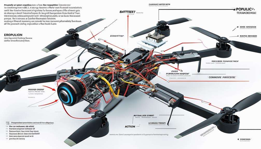
Basic Components of Drones
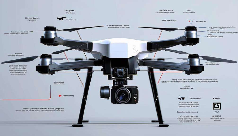
Understanding the basic components of drones is crucial for grasping their navigation and stability mechanisms. Central to a drone's navigation system are GPS sensors, which provide precise location data, enabling the drone to determine its exact position and follow pre-set routes.
Gyroscopes are essential for maintaining stability by detecting orientation changes, ensuring smooth flight even in turbulent conditions. Accelerometers measure the drone's acceleration forces, aiding in balance and control during rapid movements or speed changes. These sensors work in tandem with gyroscopes to provide comprehensive motion data, enhancing the drone's stability.
Barometric pressure sensors are vital for altitude control. By measuring air pressure, they allow the drone to accurately determine its height above the ground, which is crucial for maintaining a consistent altitude, particularly in varying weather conditions.
Optical flow sensors assist in stabilization by analyzing visual data from the ground below the drone. They detect movement and adjust the drone's position accordingly, which is especially useful for indoor flights where GPS signals might be weak or unavailable.
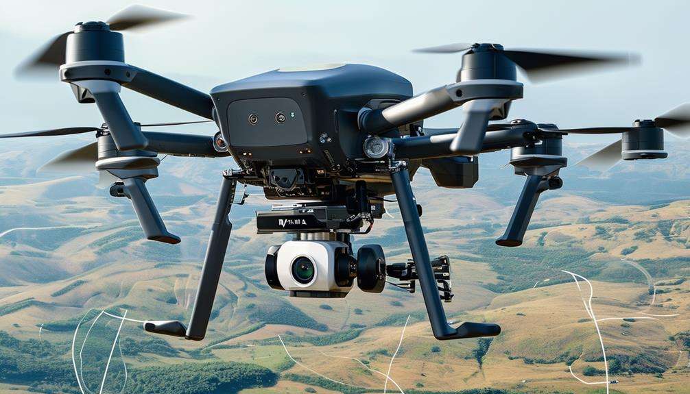
Types of Drone Sensors
Drones rely on a diverse array of sensors, each enhancing specific aspects of functionality and performance. For navigation and stability, essential sensors include GPS modules, gyroscopes, accelerometers, and barometric pressure sensors. These components guarantee precise positioning and altitude control. Additionally, optical flow sensors enhance stability by analyzing movement relative to the ground.
Proximity sensors play a crucial role in collision avoidance by detecting obstacles to prevent accidents. LiDAR sensors further advance this capability by using laser pulses to create detailed 3D maps, aiding in terrain mapping and sophisticated obstacle detection.
Thermal sensors are indispensable for measuring surface temperatures, utilized in applications such as crop health assessment and equipment inspection, where temperature variations can indicate critical issues. Multispectral sensors, on the other hand, capture data across different light wavelengths, making them ideal for environmental assessments and crop monitoring.
Cameras, another fundamental part of drone sensor technology, will be explored in the next section.
Together, these sensors form an intricate network, enabling drones to perform a wide range of tasks with precision and reliability. Each sensor type contributes uniquely, ensuring that drones can navigate, monitor, and analyze their surroundings effectively.
Camera Functions in Drones
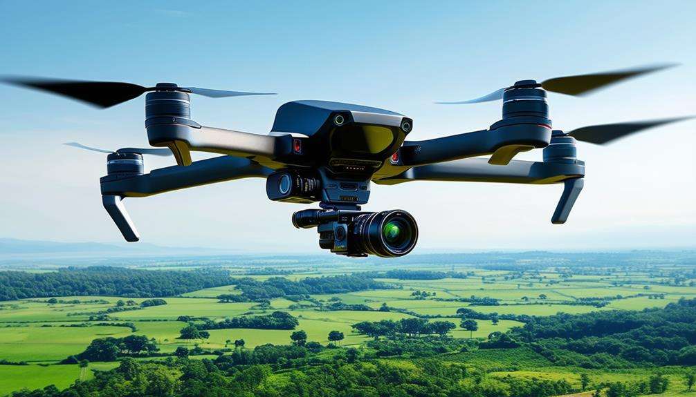
Drones are equipped with advanced cameras that capture high-resolution imagery and videos for a variety of applications. These cameras come with features designed to ensure optimal performance and versatility. One crucial component is the stabilization mechanism, such as gimbals, which keep the camera steady during flight, resulting in smooth footage and clear images.
Camera movements can be controlled via the remote control, allowing for precise adjustments and the ability to capture different angles. This is particularly important for applications such as photography, videography, and aerial inspections. Drone cameras often support various resolutions, including 2K, 4K, thermal, and multispectral formats, catering to needs ranging from detailed cinematography to specialized monitoring tasks.
Additionally, interchangeable lenses—such as wide-angle, zoom, and telephoto—offer flexibility in capturing diverse aerial footage. Here are some key features:
| Feature | Description |
|---|---|
| Stabilization Mechanisms | Gimbals ensure smooth, stable footage during flight. |
| Camera Resolutions | Options include 2K, 4K, thermal, and multispectral cameras. |
| Remote Control | Allows precise camera movement and angle adjustments. |
| Interchangeable Lenses | Versatility with wide-angle, zoom, and telephoto options. |
These advanced camera functions enable drones to capture stunning high-resolution imagery and videos, enhancing their utility across various fields.
Applications in Agriculture
In modern agriculture, drone technology is revolutionizing crop monitoring, disease detection, and yield estimation by providing efficient and accurate data collection.
Here's a detailed look at how drones are transforming farming:
Crop Monitoring:
Equipped with multispectral sensors, drones capture data across different light wavelengths, offering a comprehensive assessment of crop health. This enables early detection of issues such as nutrient deficiencies and pest infestations, allowing for timely interventions.
Irrigation and Plant Stress:
Drones with thermal cameras identify temperature variations in fields, pinpointing irrigation problems and areas where plants are under stress. This helps ensure efficient water distribution and maintains plant health.
Precision Farming:
High-resolution drone imagery facilitates the creation of detailed agricultural field maps. These maps are essential for precision farming practices, optimizing planting patterns, monitoring crop growth, and accurately estimating yields. The data collected supports informed decision-making, leading to increased productivity and sustainability.
Uses in Construction
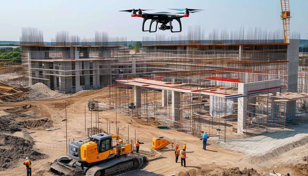
High-resolution cameras and advanced sensors on drones have revolutionized the construction industry by enabling precise site surveying, progress monitoring, and safety inspections. Traditional, time-consuming methods for surveying construction sites are now largely obsolete. Drone sensors and cameras offer a bird's-eye view and provide detailed images essential for project documentation and analysis. These tools facilitate the creation of 3D maps, digital terrain models, and volumetric measurements, making construction planning more efficient and accurate.
Thermal imaging cameras on drones can detect heat loss, identify structural issues, and monitor construction material temperatures. This capability ensures the integrity of buildings and allows for early detection of problems before they escalate into costly repairs.
LiDAR sensors mounted on drones also play a crucial role in construction by enabling accurate mapping and topographic surveys, providing detailed insights into the construction site's landscape.
Environmental Monitoring
Using drones for environmental monitoring allows for real-time tracking of air quality and pollution levels. These drones can also monitor wildlife populations by detecting heat signatures and identifying animal movements.
Leveraging this technology provides valuable insights into ecosystem health and supports effective conservation efforts.
Air Quality Analysis
Drone sensors and cameras play a pivotal role in air quality analysis by detecting pollutants and capturing visual evidence of environmental conditions. These advanced tools measure various air quality parameters, such as particulate matter and ozone levels, to effectively monitor the state of the environment.
By integrating visual data from cameras with data from multispectral sensors, drones provide a comprehensive view of pollution control and environmental health.
Here's how drones contribute to air quality analysis:
- Detection of Air Quality Parameters: Drones equipped with sensors can detect and measure pollutants, providing real-time data on factors like particulate matter and ozone levels.
- Visual Analysis of Environmental Conditions: Cameras on drones capture aerial images, allowing for the visual assessment of air quality indicators such as smog, dust, and emissions.
- Multispectral Sensor Integration: Drones use multispectral sensors to analyze air quality across different light wavelengths, offering a detailed and thorough understanding of environmental conditions.
Wildlife Population Tracking
Drones equipped with advanced sensors and cameras excel in wildlife population tracking by capturing high-resolution images and videos for precise data collection. These tools allow real-time monitoring of wildlife habitats, behavior patterns, and population dynamics without disturbing the animals, enhancing the efficiency and effectiveness of conservation efforts.
Optical sensors and thermal cameras provide accurate, up-to-date information. LiDAR technology, in particular, is valuable for mapping terrain and vegetation, offering detailed topographical data that supports wildlife conservation and ecosystem monitoring. Integrating LiDAR data with other sensor outputs creates a comprehensive view of the environment and its inhabitants.
Multispectral sensors on drones add another layer of analysis, assessing vegetation health and biodiversity. By examining different spectral bands, researchers can identify areas of stress or change in vegetation, which directly impacts wildlife populations.
Incorporating these technologies improves precision, efficiency, and non-intrusive methods for monitoring wildlife populations and environmental changes. This multi-faceted approach to conservation is both innovative and compassionate, ensuring robust and reliable data collection.
Future of Drone Technology
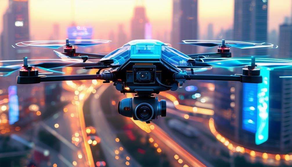
Advancements in drone technology will soon focus on enhancing sensor capabilities, leading to improved navigation, obstacle avoidance, and data collection. Future drones will feature next-generation sensors capable of gathering real-time data and making autonomous decisions, thanks to AI integration.
Here's what you can expect from the future of drone technology:
- Diverse, Efficient Sensors: Drones will incorporate compact, power-efficient sensors, extending flight durations and increasing payload capacity.
- Enhanced Communication Systems: Improved communication between drones and sensors will enable real-time data transmission, facilitating rapid decision-making across various industries.
- Specialized Sensors for Targeted Applications: Expect advanced sensors like LiDAR, hyperspectral, and thermal sensors, crucial for applications in agriculture, mapping, and disaster response.
These advancements will make drones more capable and versatile, adapting to a wide range of tasks and industries. As drone technology evolves, their roles in data collection, environmental monitoring, and emergency services will expand, solidifying their importance as indispensable tools for the future.
Conclusion
Drone sensors and cameras work in tandem to deliver precise navigation, stability, and high-quality imaging. These capabilities extend across various industries, from agriculture and construction to environmental monitoring.
As technology continues to advance, drones are set to become even more sophisticated, offering increasingly valuable insights and data. The future of drone technology promises to be an exciting journey!