How Drones Are Improving Urban Planning
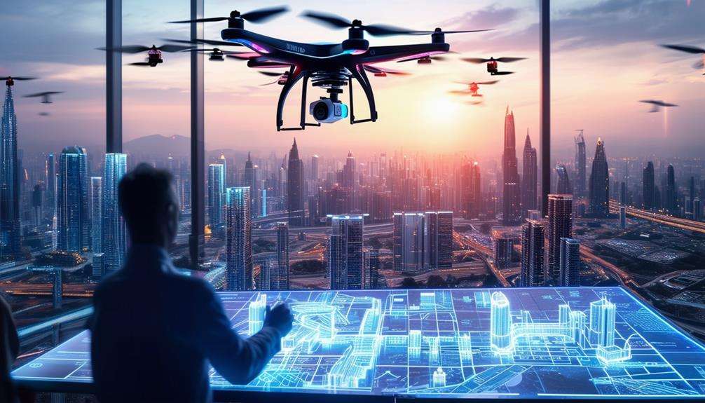
You might not realize it, but drones are revolutionizing urban planning in unprecedented ways. By providing detailed aerial mapping, precise 3D reconstructions, and comprehensive imagery, drones offer urban planners an enhanced level of spatial understanding and project visualization.
They also enable real-time progress tracking and thorough site safety assessments, ensuring projects remain on schedule and adhere to high standards. Additionally, drones facilitate environmental impact analyses, building inspections, and traffic flow assessments. These advancements promise more efficient and sustainable urban development. Curious about other ways drones are shaping our cities?
Aerial Mapping and Imagery
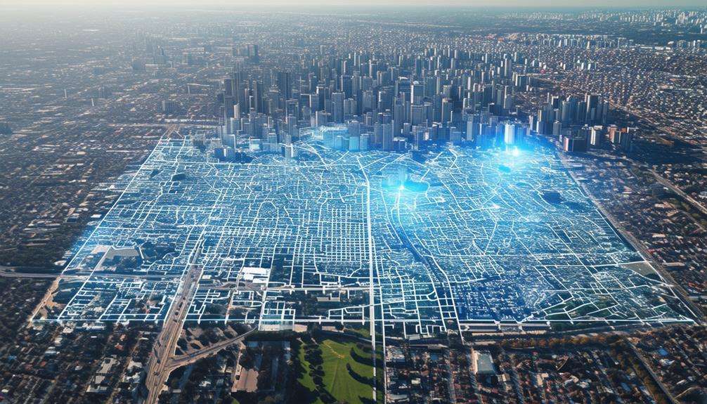
Drones equipped with high-resolution cameras and sensors provide urban planners with detailed and accurate terrain models, enabling precise 3D reconstructions of building structures. These reconstructions are invaluable for planning and developing urban landscapes. The high-resolution cameras capture every nuance of the area, offering a level of detail that traditional methods can't match.
Urban planners and architectural designers greatly benefit from this technology. Panoramic photos and aerial videos allow for clearer visualization of projects, ensuring that designs are both functional and aesthetically pleasing. This enhanced spatial understanding aids in making informed decisions that improve the overall quality of urban projects.
Drones do more than provide data; they inspire creativity. Detailed imagery and accurate terrain models fuel innovative ideas during the architectural design process. A clear picture of the terrain and existing structures leads to more precise and effective decision-making.
Potential issues can be identified and addressed proactively, resulting in better-planned urban environments. In summary, drones are revolutionizing urban planning and architectural design, making the process more efficient and insightful.
Construction Monitoring
In construction monitoring, drones enable tracking of real-time progress and immediate identification of issues. They enhance site safety by providing comprehensive aerial assessments that surpass traditional methods. Utilizing drones ensures projects remain on schedule and adhere to high safety standards.
Real-Time Progress Tracking
Real-time progress tracking with aerial monitoring allows you to keep construction projects on schedule and address issues swiftly. Drones provide real-time images and videos of construction sites, enabling precise tracking of progress. This technology facilitates a thorough assessment of building structures, ensuring everything adheres to the plan. Such meticulous monitoring enhances project management efficiency and safety on-site.
Utilizing drones for aerial monitoring offers a comprehensive view of the entire construction area. This vantage point helps identify potential issues early, allowing for data-driven decisions to resolve them promptly. With concrete data at hand, you eliminate guesswork and improve decision-making accuracy.
Additionally, drones are crucial for quality control. They enable real-time monitoring of the construction process, ensuring consistent adherence to standards. Immediate identification and correction of discrepancies prevent costly delays and rework.
Ultimately, employing drones for real-time progress tracking revolutionizes construction monitoring. It streamlines workflows, enhances safety, and ensures projects stay on track. Embracing drone technology elevates construction management to new heights.
Site Safety Assessments
Utilizing aerial monitoring through drones significantly enhances site safety assessments in construction projects. Drones offer real-time aerial views of construction sites, enabling the prompt identification and resolution of potential hazards. By capturing high-definition images and videos, drones provide a comprehensive and detailed perspective of the site without endangering personnel.
Aerial drone monitoring allows you to:
- Identify hazardous areas: Quickly pinpoint dangerous zones requiring immediate attention.
- Monitor structural health: Efficiently evaluate the condition of buildings and structures.
- Resolve issues timely: Address potential safety concerns before they worsen.
Drones facilitate thorough assessments of building structures without necessitating human presence in hazardous areas, thereby minimizing accident risks. Their real-time monitoring capabilities ensure swift issue resolution, thereby enhancing construction site safety.
Additionally, ongoing structural health monitoring aids in effective maintenance planning, contributing to the long-term safety and stability of urban development projects. In essence, drones are transforming site safety assessments, making construction sites safer and more efficient.
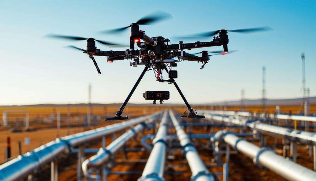
Environmental Impact Analysis
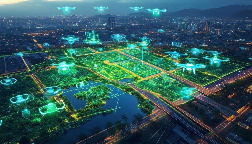
Drones can monitor air quality, assess green spaces, and map noise pollution in urban areas. These insights enable the development of eco-friendly strategies and accurate predictions of new projects' environmental impacts. Utilizing drones allows for informed decisions that minimize negative effects on both the community and the environment.
Air Quality Monitoring
Drones revolutionize urban planning by providing real-time air quality data essential for environmental impact assessments. These devices enable efficient monitoring of pollution levels and heat islands, equipping urban planners with the critical data required for informed decision-making. This capability is vital for sustainable urban development, ensuring cities expand in an environmentally responsible manner.
Advantages of using drones for air quality monitoring include:
- Real-time data collection: Immediate access to current air quality metrics facilitates rapid responses to pollution spikes.
- Comprehensive coverage: Drones can quickly survey large areas, offering a holistic view of urban air quality.
- High-resolution data: Detailed environmental data helps pinpoint specific pollution sources and hotspots.
These benefits empower urban planners to conduct early-stage assessments of projects' environmental impacts, aiding in the formulation of strategies that align with sustainable development goals. Utilizing drone technology enhances the accuracy of predictions regarding new developments' effects on local air quality and improves the management of issues like heat islands.
Green Space Assessment
Leveraging the capabilities of drones extends beyond air quality monitoring to include comprehensive assessments of green spaces, offering accurate environmental impact analyses. Drones capture high-resolution imagery that provides detailed data on vegetation coverage, biodiversity, and overall ecosystem health. This precise data supports urban planning efforts, enabling informed decisions that foster sustainable development.
Drones facilitate the precise monitoring of green infrastructure, allowing for the tracking of changes in urban greenery over time. This continuous assessment helps identify areas that require improvement or conservation, thereby aiding in the preservation and enhancement of urban green spaces.
Key benefits of using drones for green space assessment include:
| Feature | Benefit |
|---|---|
| High-resolution imagery | Detailed data on vegetation coverage |
| Continuous monitoring | Track changes in urban greenery |
| Accurate data | Support sustainable development decisions |
Noise Pollution Mapping
Urban planners can leverage drone technology to map noise pollution levels in real time, providing essential data for environmental impact assessments. Deploying drones allows for the precise collection of information on noise sources and their distribution across urban areas. This data is crucial for understanding the effects of noise pollution on residents and the environment.
Using drones for noise pollution mapping offers several benefits:
- Real-time data collection: Drones offer immediate insights into noise levels, facilitating timely interventions.
- High accuracy: Drone technology enables detailed mapping of specific noise sources, making it easier to identify problematic areas.
- Extensive coverage: Drones can quickly survey large areas, ensuring comprehensive urban noise assessment.
The data gathered from drones aids in developing effective noise reduction strategies. By identifying the loudest areas, urban planners can implement targeted solutions such as sound barriers, green spaces, or changes in traffic patterns.
Additionally, drones are instrumental in monitoring the effectiveness of these strategies over time, ensuring that noise pollution levels remain within acceptable limits. Integrating drones into urban planning significantly enhances the ability to mitigate the environmental impact of noise pollution.
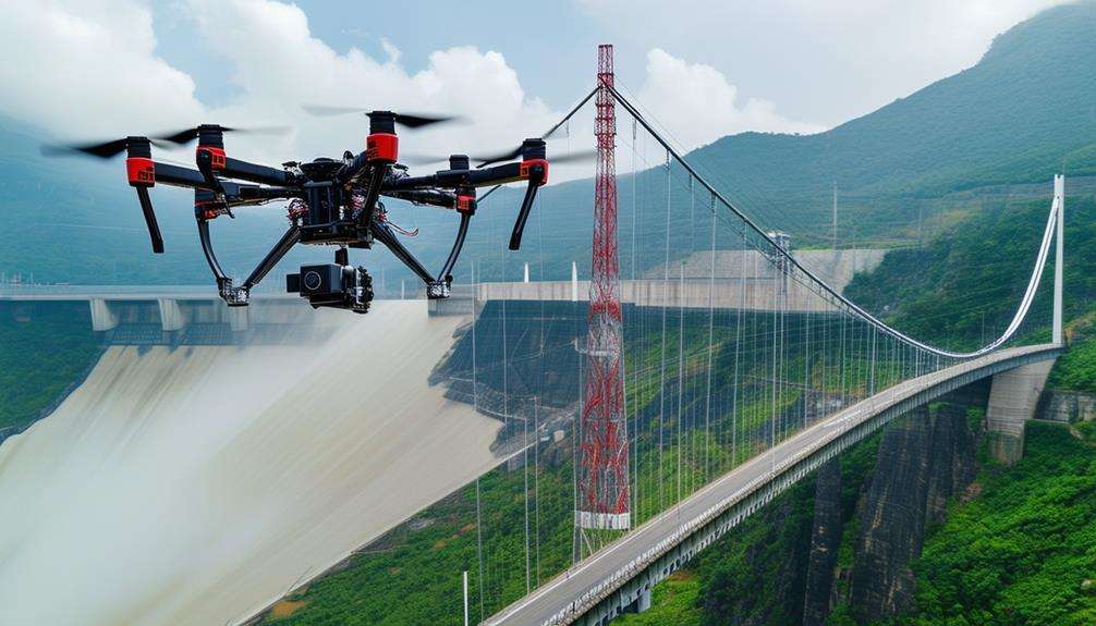
Building Inspection
By leveraging advanced drone technology, building exteriors can be inspected safely, mitigating exposure to hazardous conditions. Drones transform the inspection process by capturing high-definition images and videos, enabling detailed examination of structural components from a safe distance. This innovation significantly enhances both safety and efficiency, eliminating the need for scaffolding or other perilous access methods.
High-definition imagery obtained via drones offers precise data on the building's condition, facilitating accurate identification of cracks, deterioration, or other issues that require attention. This detailed information is essential for effective maintenance planning, allowing for prioritized repairs and optimal resource allocation.
Additionally, drones expedite the inspection process, reducing the time and labor traditionally involved. Unlike manual inspections, which are often slow and error-prone, drones provide rapid and accurate visual data. This not only elevates the overall quality of inspections but also ensures maintenance strategies are informed by the most current and reliable information.
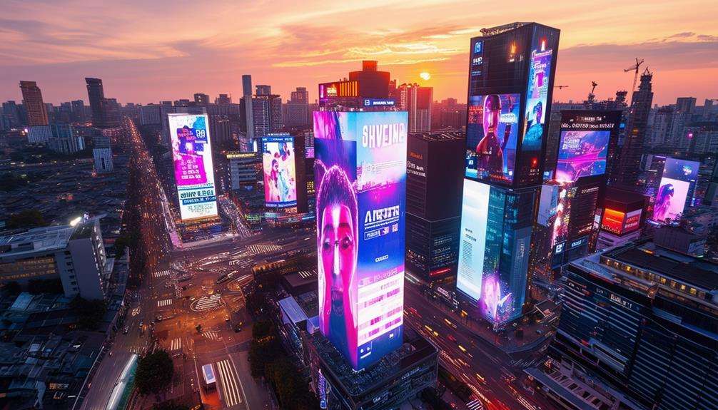
Urban Landscape Visualization
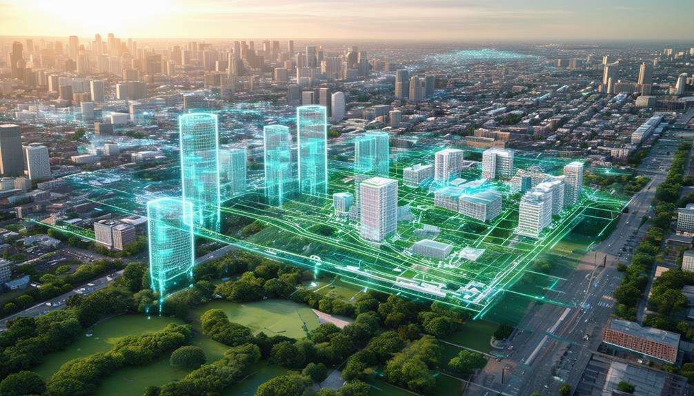
Drones offer planners and designers a groundbreaking perspective, enabling them to visualize urban landscapes with unmatched clarity. By capturing high-resolution aerial images, drones provide an in-depth understanding of the topography and complexities of urban environments. This enhanced visualization is crucial for making well-informed decisions in urban planning.
Utilizing drones, you can create highly accurate models of urban landscapes that mirror reality. These models facilitate the effective evaluation of various planning options. Imagine having a comprehensive bird's-eye view of an entire city, allowing you to seamlessly integrate new developments with existing structures.
The integration of drones in urban landscape planning enhances precision and efficiency. Key benefits include:
- Detailed insights: High-resolution cameras capture intricate details, offering a comprehensive view of the urban environment.
- Realistic models: Develop virtual reality models that authentically represent potential planning scenarios.
- Informed choices: Enhanced visualization supports well-considered decisions that benefit the community.
Incorporating drone technology into urban planning isn't just a trend; it's essential for creating sustainable and well-designed urban spaces. The detailed insights and accurate models provided by drones ensure that planning decisions are grounded in reality.
Traffic Flow Analysis
Drones play a pivotal role in analyzing and improving traffic flow within urban areas by leveraging their advanced capabilities. UAV technology gathers real-time data on traffic patterns, essential for enhancing urban planning. This data helps identify congestion points and optimize road networks, leading to more efficient traffic flow and better congestion management.
In urban environments, drones offer a bird's-eye view, allowing precise monitoring of traffic movements and pedestrian patterns. This aerial perspective is invaluable for understanding the interactions between people and vehicles within the city. It aids in making informed decisions about infrastructure development, ensuring that new projects alleviate rather than exacerbate traffic issues.
Additionally, the detailed behavior analysis enabled by drones contributes to creating sustainable transportation systems. By understanding traffic dynamics better, more effective urban planning strategies can be implemented to promote long-term sustainability. This includes adjusting traffic light timings, redesigning intersections, or planning new public transport routes. Incorporating drone technology into traffic flow analysis is a game-changer for improving urban mobility and reducing congestion.
Public Engagement Tools
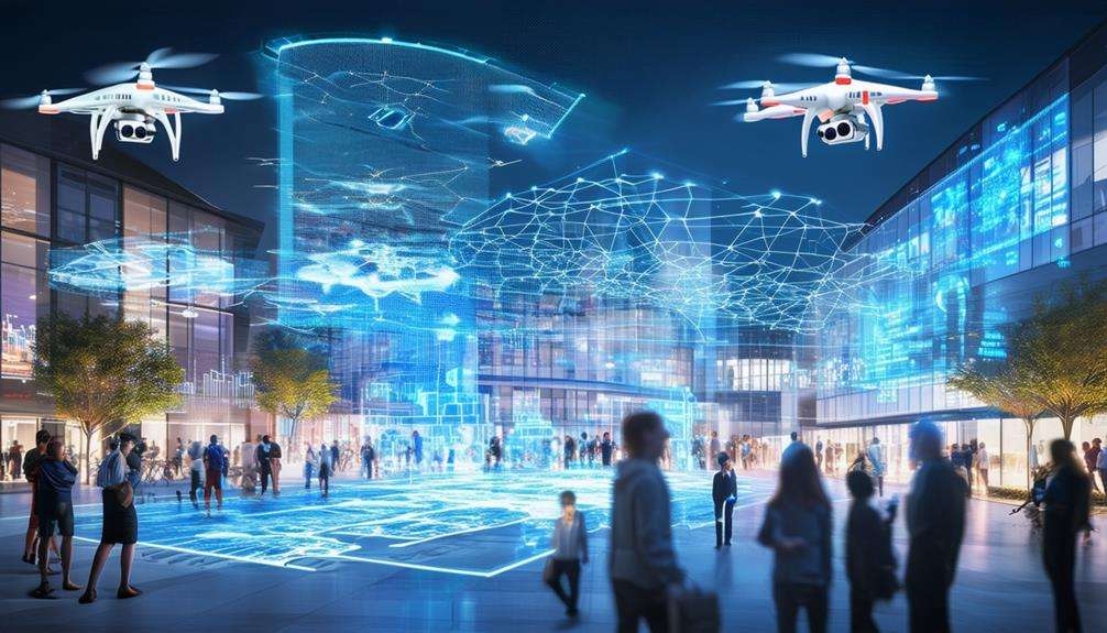
High-resolution visualizations from drones are revolutionizing community engagement in urban planning projects. Drones capture detailed, immersive visuals of proposed developments, offering realistic portrayals of potential neighborhood changes. With cameras attached, drones provide an aerial perspective that bridges the gap between static satellite imagery and dynamic 3D models. This enhances public engagement by delivering clear and detailed views of planned projects.
Using these advanced tools, urban planners can better integrate with local communities, addressing existing social and environmental concerns. The high-resolution footage not only helps stakeholders visualize the impact of development but also invites more meaningful public input.
- Augmented Reality: Enhances interactivity, allowing residents to see how plans would look in real life.
- Detailed Visuals: Offer a clearer understanding of the project's impact on the community.
- Seamless Integration: Facilitates efficient collaboration between urban planners and local residents.
In smart city planning, realistic visualizations from drones ensure public engagement isn't just a formality but an essential component in shaping sustainable, community-focused urban environments. Effective public engagement, powered by drone technology, ensures that everyone has a voice in the future landscape of their city.
Conclusion
Drones are revolutionizing urban planning by making the process more precise and efficient. From aerial mapping to traffic flow analysis, drones provide unparalleled insights that help keep projects on track with real-time monitoring and enhance safety through comprehensive site assessments. They also aid in visualizing urban landscapes and engaging the public effectively. By integrating drones into your urban planning toolkit, you're paving the way for smarter, more sustainable cities.
Related posts