How Drones Have Revolutionized Mapping and Surveying
Mapping a vast, rugged terrain using traditional methods can be slow and labor-intensive. However, drones offer a transformative alternative. They provide high-resolution aerial imagery and can effortlessly access hard-to-reach areas.
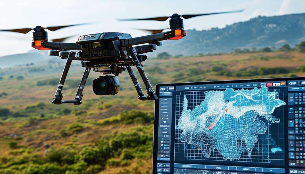
Equipped with advanced technologies like LiDAR (Light Detection and Ranging) and GNSS (Global Navigation Satellite Systems), drones enable precise data collection in a fraction of the time. But this is just the beginning; drones are fundamentally changing the landscape of surveying and mapping. Interested in the specifics and future trends in this field? Let's explore further.
The Evolution of Surveying
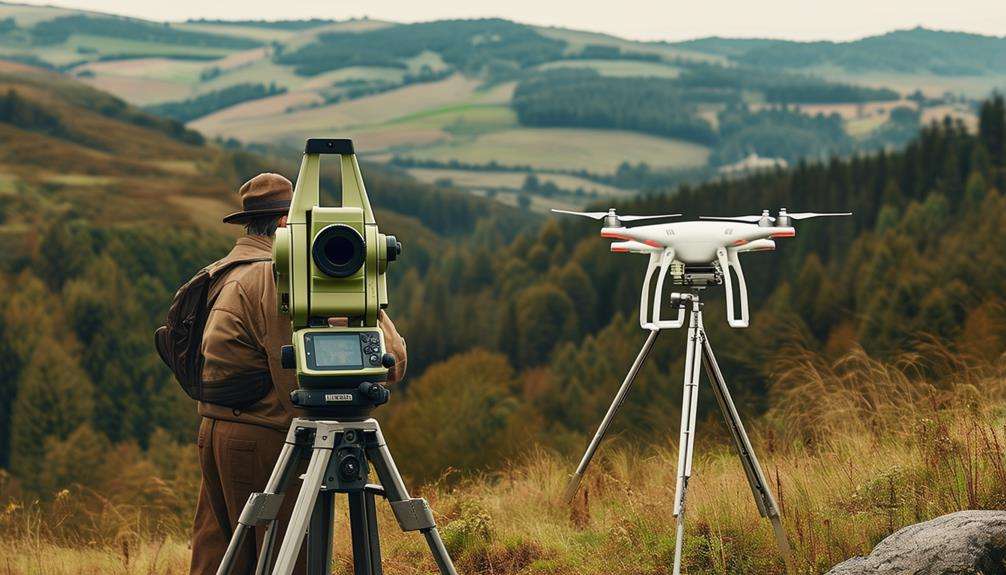
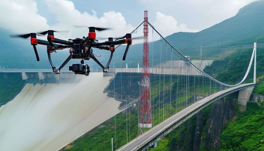
Surveying has significantly evolved with the integration of drones, transforming data collection into a faster and more precise process. Drones enable the gathering of high-resolution aerial imagery, enhancing the accuracy of topographic surveys. They can access hard-to-reach areas, allowing for detailed data collection without compromising safety.
Drones can quickly cover vast areas, capturing detailed information in a fraction of the time required by traditional surveying methods. During flights, drones use advanced software to process captured data, facilitating easy analysis and interpretation. Ground control points, essential for survey accuracy, are seamlessly integrated with drone technology, further refining data precision.
One of the most significant benefits of using drones in surveying is the reduction in costs and increased efficiency. Project timelines are shortened, and decision-making is improved due to streamlined workflows. With drones, surveying has evolved from labor-intensive, manual processes to a modern, efficient practice that delivers accurate and timely data, transforming the industry as a whole.
Drone Technologies in Mapping
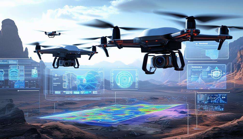
The integration of advanced drone technologies has revolutionized the mapping process, enhancing efficiency and precision through the use of high-resolution cameras and LiDAR sensors. These advancements enable drones to capture detailed aerial images and topographic data, significantly improving the collection and analysis of geographical information.
High-resolution cameras on drones capture sharp, detailed images of the terrain. When combined with photogrammetry software, these images are processed into highly detailed 2D and 3D maps. LiDAR sensors further enhance this process by emitting laser pulses to measure distances, producing detailed topographic data essential for various mapping applications.
Drones equipped with GNSS sensors offer precise positioning and geo-tagging capabilities, ensuring that collected data is accurately referenced to real-world coordinates. This accurate geo-referencing is crucial for reliable map creation and detailed surveys.
Advanced drone mapping technologies, such as those offered by WingtraOne, provide solutions tailored to specific industry needs, making efficient mapping accessible for diverse applications. These innovations enable a level of accuracy and efficiency in mapping that surpasses traditional methods, ensuring high-quality results for professionals across various fields.
Applications in Various Industries
Drones are revolutionizing industries such as agriculture and land management by enabling precise crop monitoring and detailed land analysis. In the construction and infrastructure sectors, drones facilitate real-time site inspections and progress tracking, thereby enhancing both efficiency and safety. These technological advancements make drones indispensable tools across various industries.
Agriculture and Land Management
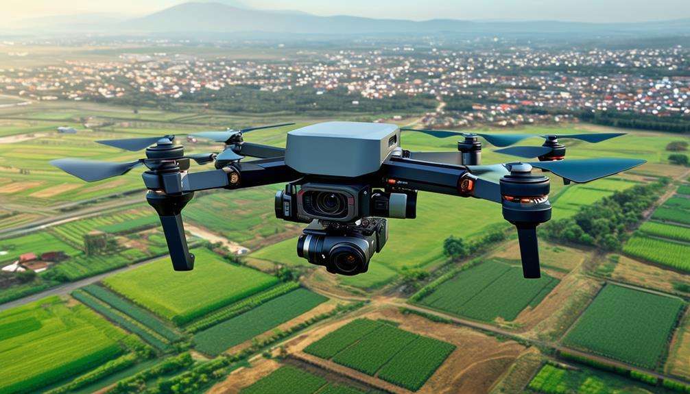
Harnessing the power of drones can revolutionize agriculture and land management through precise monitoring and data collection. High-resolution aerial imagery allows for swift and accurate assessment of field conditions. Drones facilitate vegetation mapping, enabling early detection of issues such as pest infestations or nutrient deficiencies.
In land management, drones are invaluable for monitoring soil erosion, allowing for proactive measures to prevent soil degradation. They also support wildlife conservation efforts by providing detailed aerial surveys for habitat monitoring and wildlife tracking. This data is essential for understanding the impact of human activities on various ecosystems.
Key applications of drones include:
- Aerial imagery: Capturing high-resolution images to inform precise decision-making.
- Vegetation mapping: Identifying crop health issues and optimizing the use of resources.
- Site mapping: Creating detailed and accurate maps for effective land management.
- Progress monitoring: Tracking environmental changes over time.
- Erosion monitoring: Detecting and mitigating soil erosion.
These capabilities ensure drones are a vital tool in modern agriculture and land management, offering accurate, reliable, and actionable data.
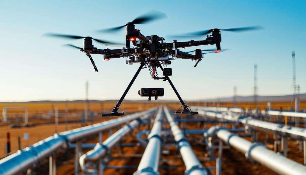
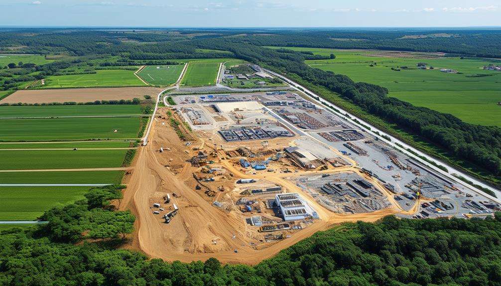
Construction and Infrastructure Projects
In construction and infrastructure projects, drones have revolutionized site mapping, progress monitoring, and volume calculations. Utilizing drone surveys on construction sites yields high-resolution data that ensures precise mapping, thereby minimizing errors in project planning and execution. Drones can quickly cover extensive areas, capturing detailed images and data that traditional surveying methods can't achieve.
With site mapping, you can effortlessly monitor progress and detect potential hazards. Drones facilitate the inspection of hard-to-reach areas, enhancing both safety and efficiency. This eliminates the need to risk worker safety or allocate excessive time to manual inspections, allowing you to focus on analyzing the collected data to make informed decisions.
Volume calculations are simplified with drone technology. You can accurately measure stockpiles, excavations, and other materials, ensuring you have the correct quantities for your project's requirements. This capability enhances resource management and cost estimation, leading to a more efficient project.
Industries such as mining, civil engineering, and urban planning significantly benefit from these advancements. By integrating drones into your surveying processes, you save time, reduce costs, and improve decision-making. Drones are indeed transforming the approach to construction and infrastructure projects.
Benefits of Drone Surveying
Drone surveying offers a faster and more cost-effective method for data collection, delivering remarkable accuracy. This technology provides highly precise data, which accelerates the data collection process and significantly reduces the time required for each project. Consequently, this efficiency leads to lower survey costs and enhanced overall productivity.
A key advantage of drone surveying is the improvement in worker safety. By using drones, many on-site risks associated with traditional surveying methods are mitigated, ensuring higher safety standards. The ability to collect data frequently with drones also enhances decision-making, as you can rely on the most current and accurate information available.
Efficient mapping becomes straightforward with drones, providing the precise measurements crucial for any surveying project. Drones can cover extensive areas swiftly with minimal human intervention, thus streamlining the entire process.
Key benefits of drone surveying include:
- Highly precise data
- Rapid data collection
- Cost-effective operations
- Enhanced worker safety
- Superior decision-making
Key Features to Consider
When selecting a drone for mapping and surveying, key features such as flight time, payload capacity, and sensor quality are crucial. Drones must have extended flight times to efficiently cover large areas without frequent recharging or battery swaps, ensuring consistent mapping and reducing downtime.
Payload capacity is another vital consideration, as it determines the types and weights of sensors the drone can carry. Advanced sensors, including those utilizing LiDAR technology, are essential for capturing highly accurate data. These sensors enhance mapping precision and enable the generation of detailed topographical maps, even in challenging environments.
High-resolution cameras and advanced sensors are indispensable for providing the detail required for precise surveying. The integration of these technologies in drones facilitates the inspection of hard-to-reach areas and effective environmental monitoring.
Operator training shouldn't be overlooked. Skilled operators are essential for fully utilizing the drone's capabilities. Proper training ensures that your team can leverage the drone's features effectively, thereby improving mapping efficiency and achieving optimal results.
Popular Drones for Surveying
After understanding the key features to look for in a mapping and surveying drone, let's explore some popular models that professionals frequently use. These drones are designed to create highly accurate maps and geo-referenced orthomosaics, often completing tasks more efficiently than traditional surveying methods.
- DJI Phantom 4 Pro: This rotary-wing drone is known for its agility and maneuverability, making it ideal for capturing detailed data in various environments.
- WingtraOne: A fixed-wing drone that excels in covering large areas and offers longer flight times, making it perfect for extensive surveying tasks.
- DJI Matrice 300 RTK: Favored for its advanced flight performance and high-quality camera options, this drone generates high-resolution, up-to-date data.
- SenseFly eBee X: Renowned for its precise mapping and photogrammetry capabilities, this drone ensures accurate data collection and mapping.
- WingtraOne VTOL: Combining the best features of both fixed-wing and rotary-wing drones, it's versatile enough for a variety of surveying applications.
Using these drones, you can generate high-resolution, up-to-date data and efficiently cover large areas. They help create accurate maps, significantly reducing the time and effort needed compared to traditional surveying methods, ensuring you have the most precise data for your projects.
Future Trends in Drone Surveying
The future of drone surveying is poised for significant transformation through AI integration, which will enable autonomous operations and real-time data processing. Picture drones that can independently navigate, collect data, and analyze it instantaneously. This is not a distant vision but an emerging reality. AI will drive autonomous drone swarms, allowing them to cover vast and varied areas more efficiently than ever before.
| Key Trend | Description | Impact on Industry |
|---|---|---|
| AI Integration | Facilitates smart, autonomous operations | Increased efficiency and accuracy |
| Autonomous Operations | Drones function without direct human control | Reduced labor costs |
| Real-time Data Processing | Immediate data analysis and application | Faster decision-making |
| Drone Swarms | Coordination of multiple drones | Enhanced coverage and speed |
Additionally, regulatory bodies are expected to update their guidelines to better incorporate drones into airspace management, ensuring safe and effective mapping and surveying practices. The advancements in UAV technology not only represent technical progress but also open new job opportunities in drone surveying and related fields. The growing demand for advanced drone surveying services across various industries indicates a thriving market for UAV technology. Whether you're involved in construction, agriculture, or environmental monitoring, these future trends in drone surveying herald a promising era of enhanced efficiency and new career opportunities.
Conclusion
Drones have revolutionized mapping and surveying, making these tasks faster, more accurate, and cost-effective. Equipped with advanced features such as high-resolution cameras, LiDAR sensors, and GNSS, drones can access hard-to-reach areas and gather detailed data effortlessly.
They offer customized solutions for various industries, enhancing efficiency and precision. As technology continues to advance, anticipate even more innovative applications and trends in drone surveying. Embrace these advancements to stay ahead in your field.
Related posts