How GPS and Navigation Systems Guide Drones
GPS and navigation systems are fundamental to how drones navigate. By utilizing satellite signals, these systems provide precise positioning and route planning, enabling drones to autonomously follow set waypoints and return to specific locations. Maintaining stability and safety in diverse environments is a critical aspect of this technology.
For instance, if a drone loses its GPS signal mid-flight, built-in failsafe mechanisms and alternative navigation methods such as inertial measurement units (IMUs) and visual odometry can help it maintain course. Understanding these systems reveals the sophisticated technology that underpins drone navigation, highlighting the complex interplay of hardware and software that ensures reliable operation.
Understanding GPS in Drones

GPS technology in drones enables precise positioning by utilizing satellite signals. Integrating GPS modules into your drone allows it to communicate with multiple satellites, determining its exact 3D location through triangulation. This is crucial for efficient navigation systems.
With GPS, drones can navigate with high accuracy. Real-time satellite communication ensures that your drone can hover, navigate, and return to its original location effortlessly. Advanced GPS systems offer near-centimeter-level accuracy, ideal for tasks requiring precise positioning.
A key benefit of GPS in drones is autonomous flight capability. By setting specific waypoints, you can program your drone to follow a predetermined path without manual intervention, useful for applications like surveying, mapping, and agricultural monitoring.
Incorporating GPS enhances your drone's performance and reliability. Whether you're a hobbyist or a professional, the precision and autonomy provided by GPS modules make your drone operations more efficient and effective. Adopt GPS technology to maximize your drone's navigation capabilities.
Determining Drone Position
Determining your drone's position relies on satellite signals to deliver precise coordinates, ensuring accurate navigation and control. GPS drones utilize advanced technology to calculate their exact latitude, longitude, and altitude in real time by processing signals from multiple satellites through triangulation.
Here's how it works:
- GPS Modules: These onboard components receive signals from at least four satellites, enabling the navigation system to determine the drone's 3D position.
- GPS Signals: These signals provide the essential data used by your drone to calculate its real-time position, ensuring precise and reliable location tracking.
- Triangulation: By measuring the time it takes for GPS signals to travel from satellites to the drone, the system calculates the distance to each satellite, thereby pinpointing the exact location.
This intricate process ensures that your drone can maintain a stable and controlled flight path. Without these GPS modules and the critical data from GPS signals, determining drone position would be significantly less accurate.
Therefore, GPS technology is crucial for allowing drones to navigate complex environments and perform tasks with high precision.
Navigation and Route Planning
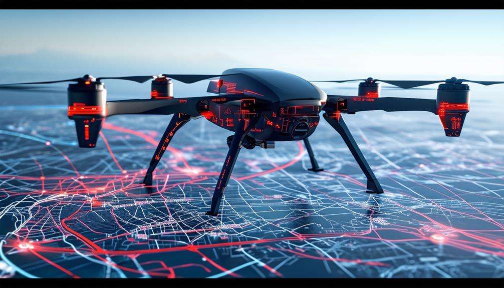
When planning your drone's route, accurate GPS signals are essential for precise navigation.
Real-time path adjustments help avoid obstacles and keep the drone on its intended flight path, optimizing efficiency and minimizing the need for manual control.
GPS Signal Accuracy
Harnessing the power of high GPS signal accuracy is crucial for ensuring your drone maneuvers with precision and efficiency. Modern GPS systems offer centimeter-level precision, vital for intricate route planning and waypoint navigation. This accuracy is achieved through advanced technologies like Differential GPS (DGPS) and Real-Time Kinematic (RTK) GPS systems. These technologies correct errors caused by atmospheric disturbances, providing real-time corrections to maintain your drone's flight stability.
Benefits of High GPS Signal Accuracy for Drone Operations:
- Optimal Route Planning: Precise GPS data allows for efficient route planning, helping avoid obstacles and navigate complex terrains seamlessly.
- Waypoint Navigation: Accurate GPS signals ensure your drone follows predetermined waypoints meticulously, minimizing the risk of deviation.
- Flight Stability: Real-time corrections from RTK GPS systems maintain your drone's stability, even in challenging conditions.
Differential GPS technology significantly enhances signal accuracy by correcting errors from factors like atmospheric disturbances. This ensures consistent reliability during flight. By leveraging high GPS signal accuracy, you can greatly improve your drone's navigation capabilities, ensuring smooth and precise operations every time.
Real-time Path Adjustments
Real-time path adjustments are crucial for enabling drones to navigate obstacles and adapt to changing conditions, ensuring safe and efficient operations. By continuously monitoring the flight path using GPS navigation systems, drones can promptly respond to any changes. These systems utilize GPS signals to determine the drone's current position and make necessary route adjustments in real-time.
When a drone encounters unexpected obstacles or needs to bypass restricted areas, real-time path adjustments are activated. The GPS navigation system dynamically alters the flight path, guiding the drone to specific waypoints or alternate routes without requiring manual intervention. This feature is essential for maintaining operational safety and efficiency.
Moreover, real-time path adjustments allow drones to adapt to varying environmental conditions, such as wind speed and direction. By dynamically modifying its route, a GPS-enabled drone can maintain optimal performance and avoid potential hazards. This continuous adaptation ensures mission accuracy and safety, regardless of the challenges faced.
The integration of GPS signals with real-time path adjustments enhances the reliability and efficiency of modern drones across various applications.
Obstacle Detection Systems
Obstacle detection systems are crucial for enabling drones to autonomously navigate around hazards, ensuring safe and efficient flights. These systems employ various sensors—such as LiDAR, ultrasonic, and infrared—to gather real-time data about the drone's surroundings. By recognizing obstacles instantly, the drone can adjust its flight path to avoid collisions, significantly enhancing safety.
These systems are indispensable for drones used in applications like aerial photography, surveillance, and delivery. They allow drones to operate in complex environments with high precision, minimizing the risk of accidents or damage. Combined with GPS navigation, obstacle detection systems facilitate the autonomous planning of routes that avoid obstacles, ensuring smooth and uninterrupted flights.
Here's how specific sensors contribute to obstacle detection:
- LiDAR: Provides high-resolution environmental mapping, essential for precise navigation.
- Ultrasonic Sensors: Deliver accurate distance measurements to nearby objects, crucial for close-range detection.
- Infrared Sensors: Detect heat signatures, useful for identifying obstacles in low-light conditions.
These technologies collectively enhance the drone's ability to navigate autonomously and safely in a variety of settings.
Enhancing Stability and Safety
Drone pilots rely on GPS and navigation systems to maintain stability and ensure safe flight operations. These systems provide precise positioning information, which is vital for drone stability, particularly in challenging conditions like high winds. By leveraging GPS and navigation systems, pilots can achieve accurate control over their drone's altitude, speed, and orientation, resulting in smoother and safer flights.
A key feature of GPS technology is the return-to-home function. In the event of signal loss or an emergency, this function allows the drone to automatically navigate back to its takeoff point. This not only enhances safety but also reduces the risk of losing the drone. Accurate positioning is essential for maintaining consistent performance and preventing accidents.
Furthermore, navigation systems integrate seamlessly with GPS to provide a comprehensive solution for drone stability. They enable pilots to execute complex maneuvers with confidence, ensuring that the drone operates within safe parameters.
Handling GPS Signal Loss

When GPS signal loss occurs, pilots need to quickly transition to alternative sensors or strategies to maintain control and navigation. Obstacles such as buildings, trees, or electromagnetic interference can disrupt the GPS signal, making it crucial to have a contingency plan.
Advanced drones often come equipped with redundant GPS modules to safeguard navigation accuracy. These modules can automatically activate to ensure seamless operation.
To handle GPS signal loss effectively, consider the following strategies:
- Use alternative sensors: Switch to barometers or accelerometers to maintain altitude and orientation.
- Fly higher: Raise your drone to minimize the chances of interference from obstacles.
- Adjust flight path: Modify the drone's route to avoid areas with known signal issues.
Many drones are also equipped with pre-programmed return-to-home functions that activate when GPS signal loss is detected. This feature allows the drone to autonomously navigate back to its starting point, reducing the risk of losing the drone entirely.
In challenging environments, these strategies and features can significantly improve your ability to manage GPS signal loss and ensure a successful mission. Always be prepared to adapt, as maintaining navigation accuracy is essential for safe and efficient drone operations.
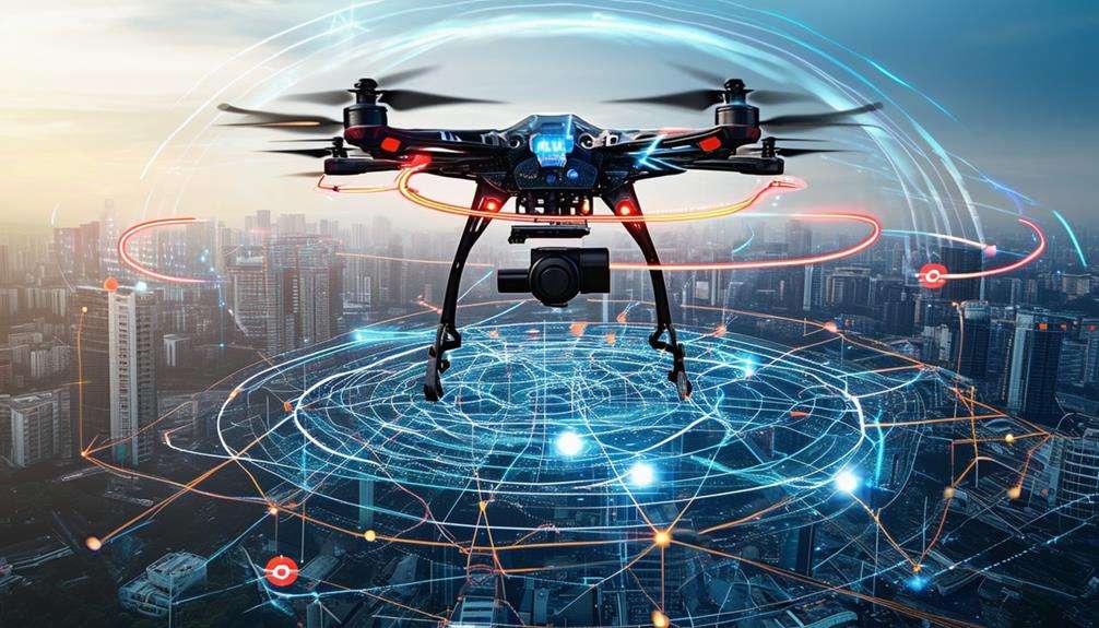
Advanced Navigation Technologies
Advanced navigation technologies significantly enhance drone performance and reliability, enabling smoother and more precise operations. For instance, GPS drones benefit extensively from sophisticated algorithms and Real-Time Kinematic (RTK) GPS technology. RTK GPS employs a base station to transmit correction data, achieving centimeter-level accuracy, which is crucial for applications like surveying and mapping that require detailed positioning.
Differential GPS systems further refine precision by correcting signal errors, making navigation more accurate. However, GPS is just one facet of advanced navigation; sensor fusion also plays a critical role. By integrating data from multiple sensors such as GPS, Inertial Measurement Units (IMUs), and cameras, sensor fusion ensures reliable navigation under various conditions, helping drones stay on course even in challenging environments.
Redundant GPS modules provide backup solutions, ensuring effective navigation if the primary GPS signal is lost. Strategies for managing GPS signal loss are essential. Incorporating inertial navigation systems, vision-based sensors, or pre-programmed flight paths can maintain reliable drone navigation.
Collectively, these advanced technologies ensure that your GPS drone operates with maximum efficiency and reliability, delivering the precision necessary for complex tasks.
Future Trends in Drone Navigation

As drone technology advances, exploring alternative navigation methods like ultra-wideband positioning systems and LIDAR-based SLAM (Simultaneous Localization and Mapping) technologies is becoming essential. These developments are shaping the future of drone navigation by enhancing precision and reliability in scenarios where traditional GPS may be inadequate.
A significant trend is the development of indoor navigation solutions to address GPS limitations in confined spaces. Ultra-wideband positioning systems offer high-precision location tracking for drones in complex environments, serving as a reliable complement to GPS. Concurrently, LIDAR-based SLAM technologies enable drones to create detailed maps and navigate autonomously in GPS-denied areas.
Future trends in drone navigation highlight:
- High-precision location tracking: Ultra-wideband systems provide centimeter-level accuracy.
- Autonomous capabilities: Advanced algorithms allow drones to navigate without human intervention.
- Obstacle avoidance: LIDAR-based SLAM enables real-time detection and avoidance of obstacles.
These alternative navigation technologies pave the way for more robust and versatile drone operations. By leveraging these innovations, drones can operate more effectively in diverse environments, from indoor spaces to complex outdoor settings, significantly enhancing their overall performance and reliability.
Conclusion
In summary, GPS and navigation systems are integral to drone operations. These technologies enable precise positioning, route planning, and enhance stability and safety. Even in cases of signal loss, they ensure drones remain on course.
With ongoing advancements, the future of drone navigation is set to become even more robust and reliable. The next time you see a drone in flight, you'll appreciate the sophisticated technology that guides its seamless operation.