The Importance of Drones in Scientific Research
Drones have become indispensable tools in scientific research, offering more than just aerial photography. They provide crucial data for environmental monitoring, natural disaster assessment, and archaeological surveys.
For instance, they enable the collection of precise climate data from within storms and allow for the mapping of wildlife populations in remote areas without disturbing ecosystems. These advancements have made data collection safer and more efficient. How do drones enhance research accuracy, and what future innovations can we anticipate?
Environmental Monitoring
Drones are transforming environmental monitoring by offering precise data to predict floods, detect illegal logging, and monitor plant diseases. This advanced technology significantly enhances our capacity to understand and protect the environment.
Equipped with sophisticated sensors, drones capture high-resolution images that provide intricate details of the surveyed landscapes. For example, drones can monitor pipelines for leaks or damages, enabling a swift response to prevent environmental disasters. Their unparalleled data collection capabilities allow for the rapid and efficient gathering of real-time information, aiding in the detection of subtle changes in vegetation health or water quality. This information is crucial for evaluating the environmental impact of various activities and enforcing regulations.
Drones also excel in creating 3D topographic maps and detailed elevation measurements, offering a comprehensive view of the terrain. By analyzing the high-resolution images, drones can identify illegal logging activities, supporting forest conservation efforts. Additionally, drones can quickly cover large areas to monitor plant diseases, enabling early detection of infected plants. Leveraging drones in environmental monitoring is a powerful method to protect our planet more effectively.
Natural Disaster Assessment
In the aftermath of natural disasters, real-time data from aerial surveys is essential for evaluating damage and coordinating emergency response efforts. Drones excel in this role, offering rapid and detailed insights into affected areas.
When a natural disaster strikes, drones can be deployed immediately to gather real-time data, enabling quick disaster assessment and mapping. This ensures that emergency response teams can allocate resources efficiently and prioritize areas in dire need.
Drones can access locations that are too dangerous or inaccessible for humans, making them invaluable for hazard monitoring during events like floods, wildfires, and storms. They can predict potential threats and track the progression of hazards, enhancing preparedness and response strategies. The high-resolution images and data captured by drones are critical for understanding the full impact of natural disasters on both the environment and communities.
Oceanographic Research
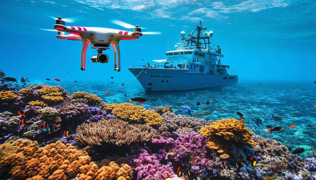
Drones are increasingly integral to oceanographic research, aiding scientists in the study of marine life, ocean currents, and underwater terrain. These sophisticated tools facilitate the collection of crucial data on sea surface temperatures, water quality, and marine ecosystems. Equipped with high-resolution imaging and real-time data transmission capabilities, drones provide unprecedented insights into oceanographic phenomena.
For example, in the study of coral reefs or ice shelves located in remote areas, drones allow researchers to gather detailed information without the need for divers or manned submarines. Autonomous drones can navigate challenging ocean conditions, collecting data vital for climate research and conservation efforts. They can map underwater terrain and monitor marine biodiversity, offering a clearer understanding of ocean health.
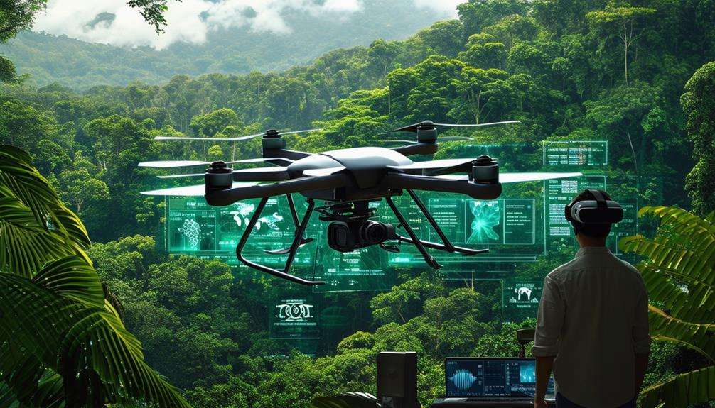
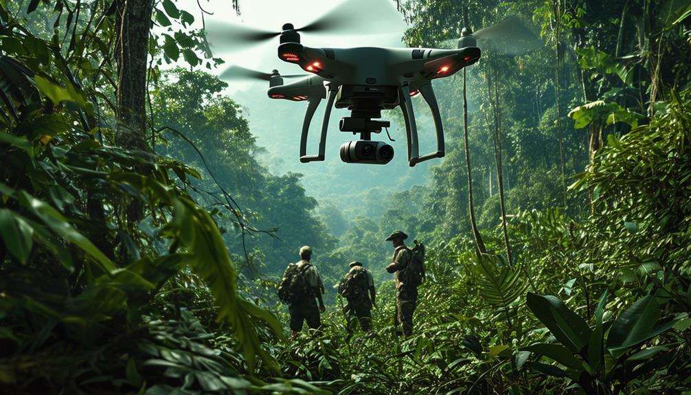
Archaeological Surveys
Archaeological surveys have been revolutionized by the use of drones, which provide high-resolution images and precise 3D models of sites. These technologies make it significantly easier to study, document, and preserve archaeological sites. Drones are particularly beneficial for surveying remote or inaccessible locations, enabling the identification of unknown archaeological sites and artifacts. Advanced imaging technologies used by drones can even uncover hidden artifacts beneath the surface.
One of the notable advantages of drones in archaeology is their ability to map areas affected by disasters. This capability aids in predicting hazards and assessing archaeological damage post-disasters, offering crucial data for preservation efforts. Additionally, drones enhance the efficiency of surveys, allowing archaeologists to monitor and document sites with exceptional accuracy.
Benefits of Drones in Archaeological Surveys:
| Benefit | Description |
|---|---|
| High-Resolution Images | Captures detailed visuals of archaeological sites. |
| 3D Models | Creates accurate models for study and preservation. |
| Identifying Artifacts | Surveys remote areas to discover new artifacts and sites. |
| Mapping Disaster-Affected Areas | Evaluates damage and predicts hazards post-disasters. |
| Efficient Surveying | Improves the precision and speed of site documentation. |
Climate Research
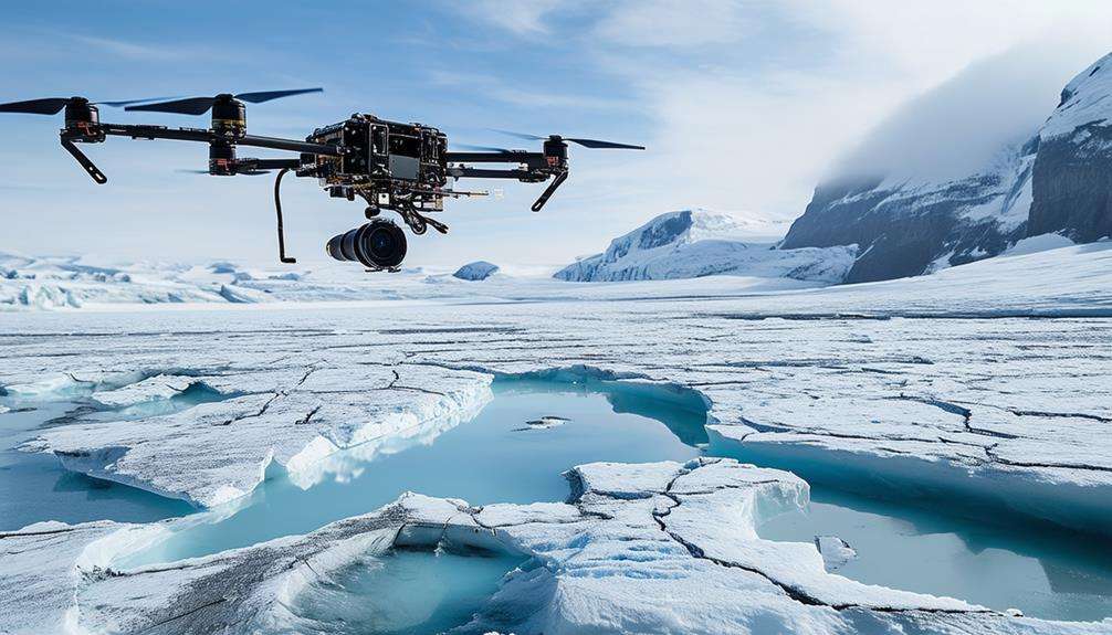
In climate research, drones are invaluable for collecting data on atmospheric conditions and greenhouse gases. Their remote sensing capabilities allow scientists to monitor melting ice and rising sea levels in real-time. This technology provides detailed mapping of disaster-affected areas, crucial for predicting hazards and understanding climate impacts.
Data Collection Efficiency
The use of drones for efficiently gathering data on atmospheric conditions and greenhouse gases has transformed climate research. These Unmanned Aerial Vehicles (UAVs) employ advanced technology to provide researchers with highly accurate data. By utilizing aerial systems, we can identify critical environmental changes, such as fluctuations in greenhouse gas levels and atmospheric conditions, with remarkable precision. This accuracy is essential for understanding and addressing climate change.
Here are three ways drones enhance data collection efficiency in climate research:
- Access to Remote Areas: UAVs can reach polar ice caps, glaciers, and other inaccessible regions, enabling the collection of data from previously unexplored areas.
- Real-Time Data Transmission: Drones offer real-time data transmission, providing researchers with up-to-date information on climate patterns and trends. This immediate feedback is crucial for timely decision-making and assessments.
- Stability and Precision: Drones maintain stability and precision even in challenging conditions. Their robust design ensures the collection of accurate and reliable data, which is vital for long-term climate studies.
Incorporating drones into climate research not only improves data collection efficiency but also expands the scope of our understanding of the changing environment.
Remote Sensing Applications
Remote sensing applications in climate research increasingly rely on drones to collect vital data on environmental changes. Equipped with advanced sensors and cameras, drones can detect heat and capture images across a broad spectrum of wavelengths. These aerial systems enable precise monitoring of atmospheric conditions, greenhouse gases, and polar ice caps.
Drones offer the unique advantage of studying remote and difficult-to-access environments, such as polar regions. Real-time data transmission from drones allows for quick analysis and decision-making, crucial for understanding climate change trends and addressing immediate environmental threats.
For example, drones can monitor ice melt and rising sea levels, providing valuable insights into the impacts of global warming. Additionally, they can track endangered species, delivering essential data for conservation efforts. The high precision and stability in data collection that drones offer ensure accurate assessments of climate patterns and environmental changes.
Integrating drones into climate research enhances the ability to gather and analyze critical environmental data efficiently, making them a powerful tool for advancing our understanding of climate dynamics.
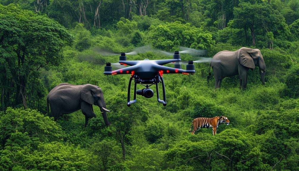
Wildlife Conservation
In wildlife conservation, drones are invaluable tools for tracking and protecting various species. They facilitate monitoring of sea mammals, counting animal populations, and combating poaching. Drones offer detailed views of marine conservation areas, aiding the enforcement and protection of endangered species.
For tracking sea mammals, drones gather crucial data without causing significant disturbances. Researchers can study whales' microbiomes and stress levels more accurately and humanely. High-resolution images and videos captured by drones enable scientists to observe behaviors and health indicators that were previously difficult to detect.
In marine conservation areas, drones provide detailed surveillance to identify illegal activities and ensure regulatory compliance. They enable low-impact wildlife investigations, reducing stress on animals compared to traditional methods.
Key benefits of using drones in wildlife conservation include:
- Efficient tracking of sea mammals and endangered species
- Enhanced protection of marine conservation areas
- Low-impact and humane wildlife investigations
Anti-Poaching Efforts
How can drones revolutionize anti-poaching efforts by providing real-time surveillance and rapid response capabilities? Drones enable more efficient monitoring of wildlife populations and detection of illegal activities in protected areas. Equipped with thermal imaging cameras, they can track poachers at night or in dense vegetation, improving the chances of catching them in the act. This technology significantly enhances law enforcement efforts, safeguarding endangered species from illegal hunting.
Drones are not only effective in gathering evidence for prosecution but also act as a strong deterrent to poachers. Their constant surveillance allows conservationists to respond swiftly to threats, reducing response time and increasing the likelihood of saving vulnerable animals. The successful use of drones in anti-poaching initiatives has already led to a notable reduction in poaching activities and better protection of wildlife populations.
Here's how drones impact anti-poaching efforts:
| Impact | Emotion | Result |
|---|---|---|
| Real-time surveillance | Hope | Quick response to threats |
| Thermal imaging | Empowerment | Night-time poacher tracking |
| Evidence collection | Justice | Successful prosecutions |
| Deterrence | Relief | Reduced poaching incidents |
| Wildlife protection | Gratitude | Safeguarded populations |
Volcanic Research
Drones are revolutionizing volcanic research by providing scientists with critical data on eruption patterns and potential hazards. Equipped with advanced technologies, drones enable safer and more effective monitoring of volcanic activity.
High-resolution imagery captured by drones allows for detailed analysis of changes in crater morphology and accurate tracking of lava flows. This data is essential for understanding volcanic dynamics and predicting future eruptions.
Thermal cameras on drones can detect temperature anomalies, indicating areas of increased heat that may signal imminent volcanic activity. Early detection of these changes improves hazard assessment and facilitates timely warnings to nearby communities.
LiDAR technology on drones generates detailed 3D maps of volcanic terrain, offering precise information about topography. These maps are crucial for evaluating potential hazards such as lava paths and pyroclastic flows.
Key benefits of using drones in volcanic research include:
- High-resolution imagery for detailed analysis of volcanic changes.
- Thermal cameras to detect temperature anomalies.
- LiDAR technology for creating accurate 3D maps of volcanic terrain.
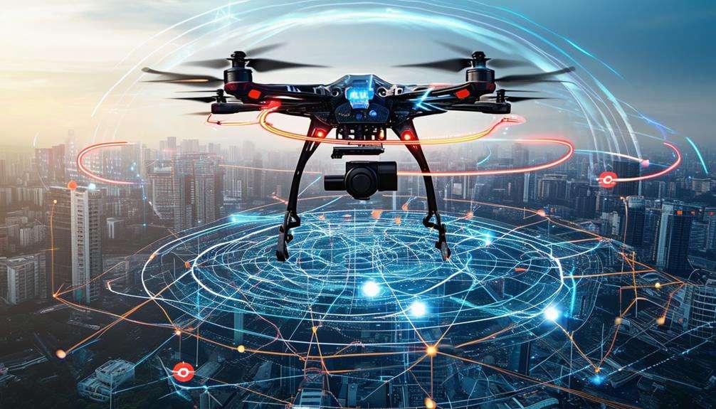
Future Developments
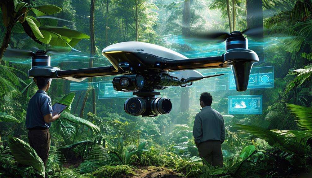
Future advancements in drone technology promise to revolutionize scientific research across multiple disciplines. Envision fleets of drones, each equipped with specialized payloads tailored for distinct missions. These aerial systems could precisely measure atmospheric gases, significantly enhancing climate research. The integration of sophisticated sensors and equipment will enable drones to collect data more accurately and efficiently than ever before.
Consider this:
| Future Developments | Impact |
|---|---|
| Aerial drones | Advanced atmospheric research |
| Hybrid drones | Comprehensive ocean sampling |
| Advanced sensors | Enhanced water quality analysis |
With hybrid drone and underwater vehicle systems, scientists will gain unparalleled access to both oceanic and atmospheric data. This dual capability facilitates comprehensive studies of ecosystems and climate interactions. Advanced sensors will enable meticulous monitoring of water quality, providing essential information for environmental conservation.
Ongoing improvements aim to overcome current challenges like regulatory limitations and the need for specialized technical expertise. As these hurdles are addressed, the potential for drones in scientific research will expand exponentially, making them indispensable tools for future discoveries. Through these advancements, drones will transform how we comprehend and interact with our environment.
Conclusion
In summary, the importance of drones in scientific research can't be overstated. These advanced tools offer unparalleled precision and safety, enabling researchers to gather vital data from even the most challenging environments.
From monitoring wildlife to evaluating natural disasters, drones revolutionize research methodologies, leading to groundbreaking discoveries and effective conservation efforts. Embracing drone technology ensures that researchers remain at the forefront of scientific innovation, continually pushing the boundaries of what's possible.