The Rise of UAVs: How Unmanned Aerial Vehicles Are Shaping the Future
UAVs, commonly known as drones, are increasingly becoming a staple in various sectors, far beyond recreational use. Thanks to advancements in AI and battery technology, these devices are transforming agriculture, logistics, and emergency services by executing complex tasks autonomously and efficiently. As regulatory frameworks evolve to ensure safe operations, including beyond-visual-line-of-sight (BVLOS) flights, the potential for UAVs in urban air mobility is enormous. This technology is poised to significantly reshape transportation and data analysis in the near future.
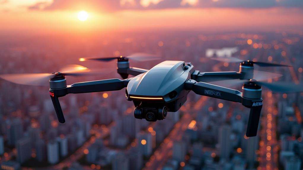
Evolution of UAV Technology
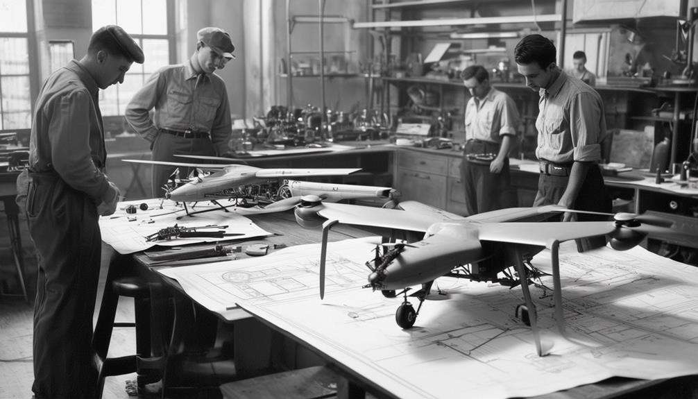
The evolution of UAV technology has been a fascinating journey, beginning with the Kettering Bug in 1918, the first military drone that showcased the potential for unmanned aerial systems in warfare. Since then, drones have evolved from rudimentary flying machines to sophisticated unmanned aerial vehicles equipped with advanced sensors and artificial intelligence (AI).
Advancements in GPS technology in the 21st century revolutionized UAVs, enabling precise flight paths and smarter control features, making drones more accessible for both commercial and recreational use. Today's UAVs are equipped with cutting-edge sensors like thermal imaging and LiDAR, allowing them to undertake complex data collection tasks in diverse fields such as agriculture, construction, and environmental monitoring.
Recent innovations in battery technology, such as lithium-sulfur and hydrogen fuel cells, have significantly extended UAV flight times, enhancing their operational capabilities. AI and machine learning have further transformed UAV operations, enabling autonomous capabilities that allow for real-time data analysis and improved decision-making. Modern drones, whether used for mapping intricate flight paths or conducting detailed surveys, are now indispensable tools in both combat and industrial environments, showcasing impressive technological strides.
Advanced Autonomous Features
Advanced autonomous features have significantly elevated UAV technology. A notable advancement is the integration of sophisticated obstacle detection systems. By combining sensors with AI, drones can autonomously navigate complex environments, avoiding obstacles with precision and ensuring safer operations.
AI integration is critical for enhancing UAV capabilities, enabling drones to make real-time flight path adjustments based on changing environmental conditions. This adaptability is especially beneficial in dynamic scenarios where human intervention might be too slow or impractical.
Automated mission programming represents another significant leap forward. Specific routes and tasks, such as surveying or data collection, can now be programmed for drones, reducing the need for constant human oversight. This automation streamlines operations, making them more efficient and reliable.
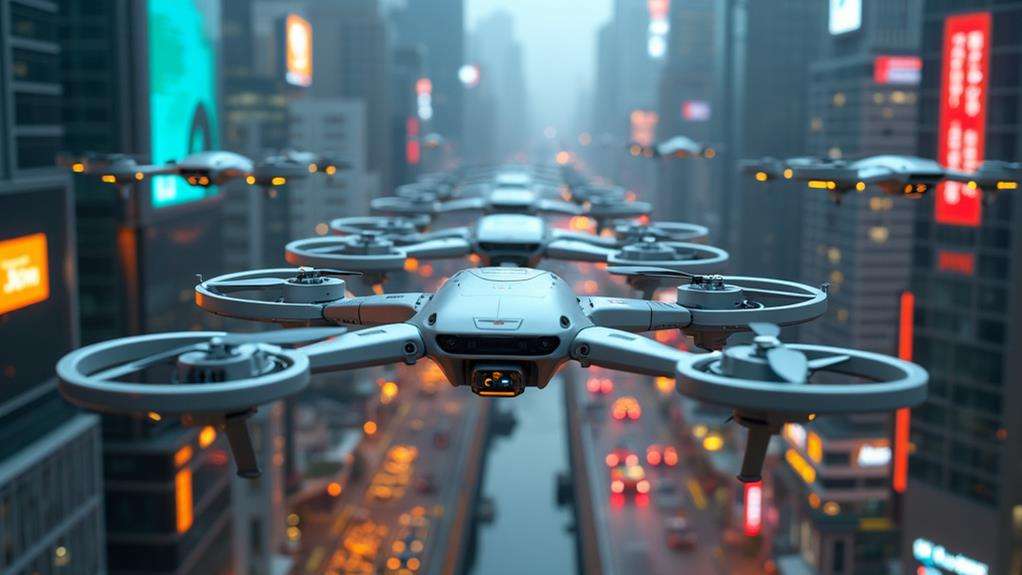
Swarm technology is revolutionizing how multiple drones work together. Coordinated UAV groups can perform complex tasks, such as reconnaissance or logistics, more effectively than a single drone. Equipped with multispectral sensors, these swarms can gather valuable data for various applications, from environmental monitoring to agricultural assessments.
Data Collection Capabilities
UAVs are revolutionizing data collection across various industries with their advanced sensor technology. Equipped with multispectral sensors, drones can gather highly detailed data that was previously challenging to obtain. These sensors are particularly beneficial in agriculture, enabling crop health monitoring by assessing chlorophyll levels. This early detection of pest infestations helps optimize resource management and reduce pesticide use.
Beyond multispectral sensors, UAVs can also be equipped with high-resolution cameras, thermal imaging, and LiDAR technology. These tools facilitate precise data collection and analysis, enhancing decision-making processes in numerous fields. Key capabilities include:
- High-Resolution Imaging: Captures detailed images and videos, aiding in construction, environmental monitoring, and other applications.
- Thermal Imaging: Detects temperature variations for infrastructure inspections, identifying issues like heat loss in buildings or wildlife in conservation efforts.
- LiDAR Technology: Provides accurate topographical data, improving mapping accuracy and environmental assessments.
Integrating AI algorithms, these drones can perform real-time data analysis, making them indispensable in critical operations such as disaster response and emergency medical deliveries.
Regulatory Landscape
The regulatory landscape for UAVs is undergoing a significant transformation. New rules now permit drones to operate beyond the pilot's visual line of sight, greatly expanding their capabilities. Remote identification requirements mandate that drones broadcast their ID and location, which enhances safety and accountability. Furthermore, frameworks for commercial drone delivery are being developed, enabling companies such as Amazon and Walmart to potentially offer widespread drone delivery services.
Beyond Visual Line
The regulatory landscape for Beyond Visual Line of Sight (BVLOS) drone operations is rapidly evolving, enabling significant advancements in drone technology. BVLOS allows drones to operate beyond the pilot's visual range, greatly expanding their potential applications. Regulatory bodies like the FAA are critical in this evolution, establishing frameworks to ensure safety and accountability in these advanced operations.
BVLOS operations are increasingly essential for various applications. Commercial drones are now pivotal in package delivery, agricultural monitoring, and infrastructure inspections, where efficiently covering large areas is crucial. Safety is central to these regulations, with BVLOS flights required to meet stringent standards, including reliable communication links and advanced collision avoidance systems.
Countries worldwide are adopting similar BVLOS regulations, accelerating the commercial drone market and fostering innovations in urban air mobility and logistics. Key drivers of these changes include:
- Expansion in Drone Capabilities: BVLOS enables autonomous drone operations over large distances.
- Regulatory Frameworks: Agencies like the FAA are setting standards to ensure safe and accountable operations.
- Diverse Applications: BVLOS enhances efficiency in sectors such as package delivery, agricultural monitoring, and infrastructure inspections.
Remote Identification Requirements
Remote identification requirements are fundamentally transforming drone operations by mandating that drones broadcast their identification and location information. This change is crucial for enhancing operational safety and accountability in shared airspace. By September 2023, the Federal Aviation Administration (FAA) requires most drones flying in U.S. airspace to comply with these remote identification rules.
This mandate promotes transparency in drone operations, allowing for real-time tracking of drones. Law enforcement and regulatory authorities can monitor compliance and address unauthorized flights more effectively. This level of oversight is essential for maintaining the integrity of the national airspace.
To meet these requirements, drones must be equipped with specific broadcasting capabilities. These can be built-in modules or external devices designed for remote identification. Compliance is not just about following the law; it contributes to a safer, more secure airspace.
Implementing remote identification addresses privacy and security concerns, making it a pivotal step in integrating drones safely into the national airspace system. Adapting to these regulations helps shape a future where drones operate harmoniously with other airspace users.
Commercial Drone Frameworks
The evolving landscape of commercial drone regulations is marked by significant steps towards addressing remote identification requirements. As UAVs become integral to various industries, regulatory frameworks are adapting to ensure safe and efficient operations. For instance, the FAA mandates that drones broadcast their identification and location information, enhancing safety and accountability in the airspace.
Countries worldwide are developing commercial drone frameworks to support Beyond Visual Line of Sight (BVLOS) operations, which are crucial for expanding UAV capabilities. This is particularly important for companies like Amazon and UPS, which are actively testing and seeking approvals for drone delivery services. Integrating these services into national airspaces requires rigorous safety standards to manage air traffic and prevent collisions.
Additionally, pilot certification processes are being standardized globally. Operators need to undergo specific training and acquire licenses to operate commercial drones responsibly. This ensures not only operator competence but also public trust in drone technology.
Key developments include:
- BVLOS Operations: Enabling drones to operate beyond the pilot's visual line of sight, enhancing operational capabilities.
- Drone Delivery Services: Companies are testing and seeking regulatory approvals for commercial deliveries.
- Pilot Certification: Standardized training and licensing ensure responsible and competent drone operations.
These advancements are shaping the future of UAVs, making the skies safer and more efficient.
Battery and Flight Innovations
Imagine your drone flying twice as long on a single charge; that's the potential of lithium-sulfur batteries currently in development. These batteries offer higher energy densities compared to traditional lithium-ion batteries, significantly enhancing flight durations. With these advancements, your drone's operational capabilities in various missions could see a substantial boost.
But it's not just about lithium-sulfur batteries. Hydrogen fuel cells are also emerging as a game-changer, providing longer flight durations and faster refueling times than conventional battery systems. This means you can get your drone back in the air quicker, maintaining high operational availability for critical tasks.
Solar integration is another exciting frontier. By harnessing solar energy, drones can extend their flight times during daylight missions, further enhancing operational capabilities. This is particularly useful for long-duration surveillance or environmental monitoring.
Advanced battery management systems are integral to these innovations. They optimize energy usage, significantly increasing the efficiency and overall performance of drone operations. Coupled with rapid charging technology, these systems reduce downtime between flights, ensuring your drone is always ready for the next mission.
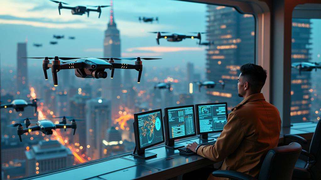
Urban Air Mobility
Advancements in drone technology, such as lithium-sulfur batteries, hydrogen fuel cells, and solar integration, are rapidly expanding the possibilities for Urban Air Mobility (UAM). These innovations are paving the way for air taxis and passenger-carrying drones, which promise to revolutionize urban transportation by significantly reducing traffic congestion. Imagine bypassing gridlock altogether, flying above the streets in a sleek, unmanned aircraft.
However, UAM isn't limited to passenger transport. Drones are being developed for delivering emergency medical supplies, drastically reducing response times compared to traditional ground transport. This innovation could be transformative for life-saving interventions in densely populated cities.
Integrating UAVs into smart city frameworks offers numerous benefits. These include real-time traffic monitoring and enhanced pollution control, which can significantly improve urban planning and management.
Here are three key areas where UAM is making an impact:
- Passenger Transport: Air taxis and drones reducing urban traffic congestion.
- Emergency Services: Drones delivering medical supplies swiftly and efficiently.
- Urban Management: UAVs aiding in real-time traffic monitoring and pollution control in smart cities.
Regulatory frameworks are evolving to support these UAM initiatives, ensuring safety and efficiency in our future aerial landscapes.
Related posts