The Role of Drones in Climate Change Research
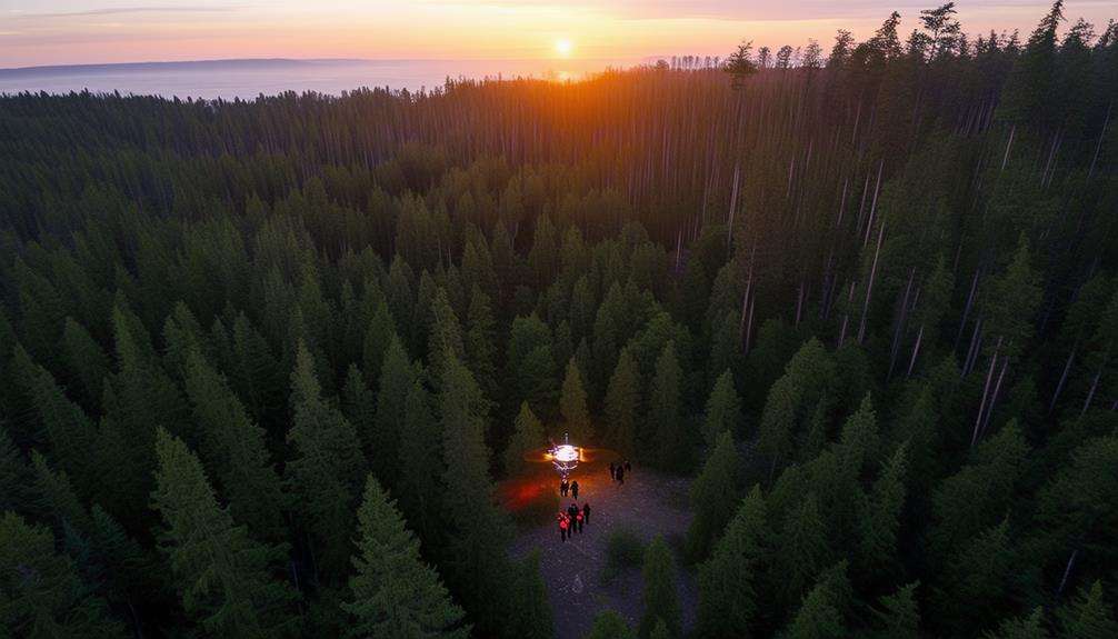
Drones have revolutionized climate change research by providing unprecedented access to high-resolution imagery and data. Equipped with advanced sensors, these unmanned aerial vehicles (UAVs) can quickly and cost-effectively gather precise information on environmental changes, such as mapping heat islands, tracking glacier melt, and evaluating urban air quality.
Beyond data collection, drones integrate artificial intelligence to analyze patterns and predict future impacts. However, operating in diverse conditions poses technical challenges, and broader adoption faces regulatory and logistical hurdles.
Evolution of UAV Technology
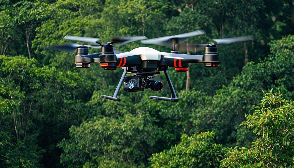
Over the years, UAV technology has rapidly evolved from basic agricultural tools to sophisticated drones essential for climate change research. Initially, drones were simple devices used primarily for tasks like crop monitoring. However, as technology advanced, so did their capabilities. Today, drones are equipped with state-of-the-art sensors and navigation systems, making them indispensable in environmental monitoring and climate change mitigation.
Modern drones now monitor various environmental factors, including greenhouse gas emissions. With advanced sensors, these drones can detect and measure pollutants in the atmosphere, providing crucial data to scientists. The integration of lightweight materials and improved battery technology allows these drones to fly longer and cover more ground, collecting comprehensive data on climate patterns.
Military advancements have significantly contributed to UAV technology, enhancing targeting accuracy and expanding civilian applications. This has enabled drones to offer high-resolution imagery, essential for detailed climate studies. By flying over urban areas and remote locations, drones can efficiently gather data that would be challenging to obtain through traditional methods.
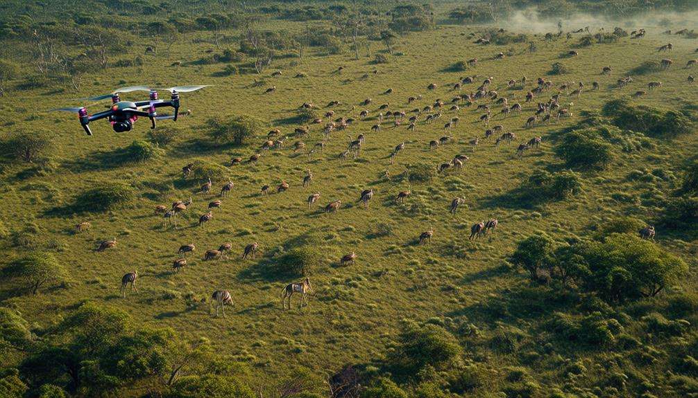
Environmental Data Collection
The advancements in UAV technology have positioned drones as essential tools for environmental data collection, offering critical insights into climate change impacts. Equipped with advanced sensors and cameras, drones capture high-resolution images that are vital for analyzing climate change effects, particularly in urban areas. These sophisticated UAVs can identify trends, patterns, and sources of greenhouse gas emissions with remarkable accuracy.
Drones provide a cost-effective and efficient method for gathering environmental data, facilitating the monitoring of urban environments. By flying over cities, they collect real-time data that aids researchers in understanding how urban areas contribute to climate change. This data is crucial for developing strategies to mitigate climate impacts in densely populated regions.
Additionally, the integration of drones with artificial intelligence significantly enhances data analysis and predictive modeling. AI algorithms process the extensive data collected by drones, uncovering critical insights that might be overlooked by humans. This synergy between drone technology and AI enables more accurate predictions and effective climate change mitigation strategies. In essence, drones are transforming how we collect and analyze environmental data, leading to more informed decision-making in combating climate change.
Monitoring Deforestation
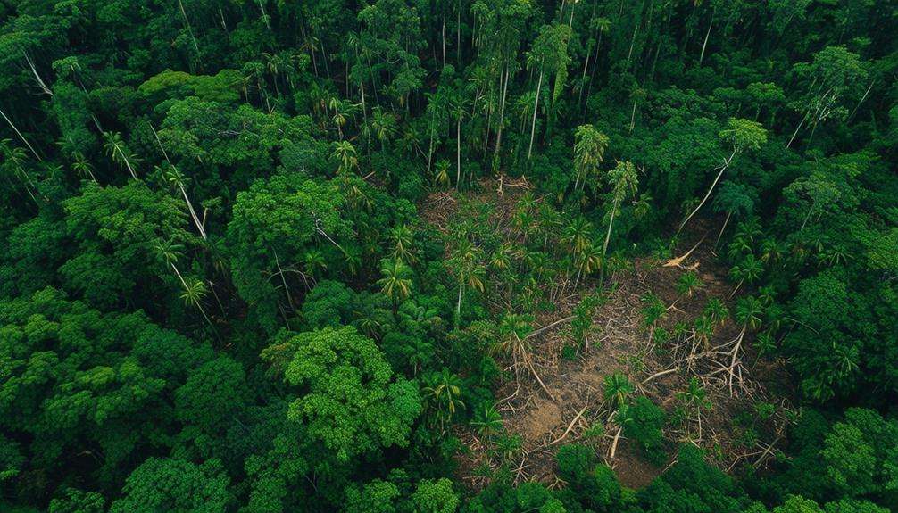
Drones are transforming deforestation monitoring by providing real-time data to combat illegal logging and track tree degradation. Their use enables immediate identification of illegal activities and facilitates swift intervention. Addressing deforestation, which contributes over 15% of global carbon emissions, is crucial for effective climate change mitigation.
In Costa Rica, drones significantly aid in tracking tree degradation and pinpointing areas of rampant illegal logging. The high-resolution imagery and data they collect allow conservationists to monitor forests more efficiently and implement targeted protection strategies. For example, BioCarbon Engineering's drones can plant up to 100,000 trees per day, supporting reforestation and ecosystem restoration.
Additionally, drones are vital in replanting mangroves, essential for coastal protection and carbon sequestration. By enhancing conservation efforts and promoting sustainable forest management, drones help prevent further tree degradation and support broader climate change initiatives. This technology empowers informed decision-making and proactive steps to preserve our planet's critical forests.
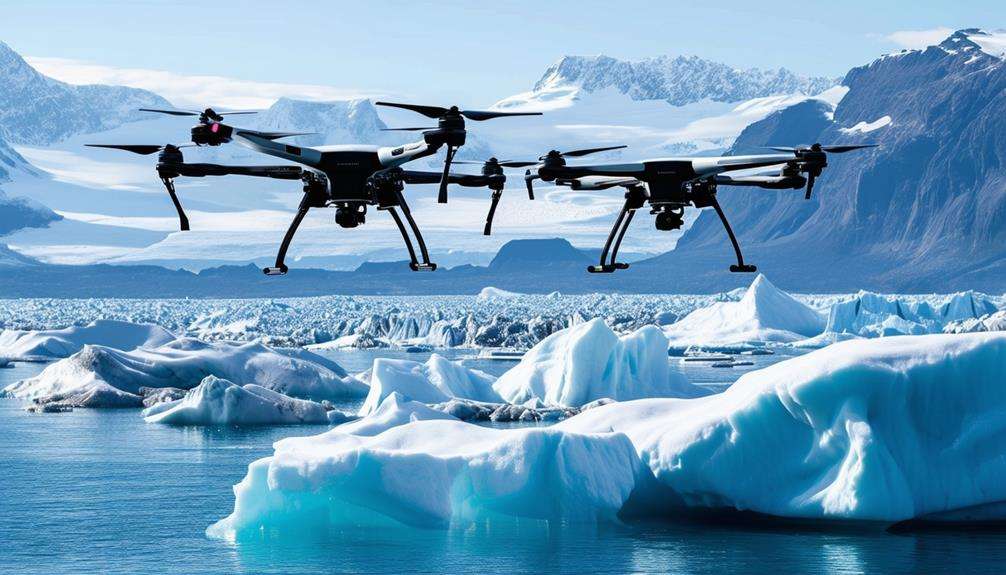
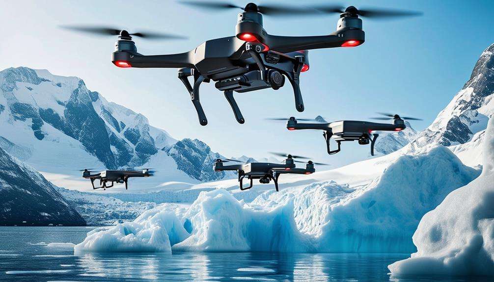
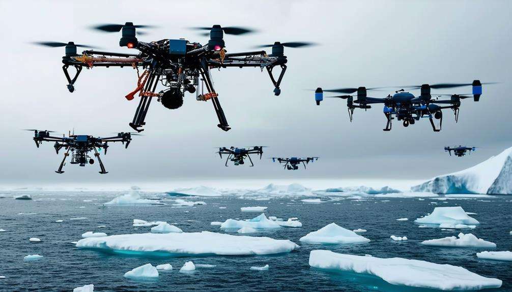
Studying Melting Glaciers
Scientists are utilizing drone technology to capture high-resolution images that monitor the precise rate of melting glaciers. These advanced tools enable climate scientists to analyze glacial retreat patterns and assess the impact of climate change with remarkable accuracy. Drones offer a cost-effective and efficient way to gather critical data, allowing researchers to study glacier dynamics and changes in ice mass over time.
With drone technology, researchers gain valuable insights into the rapid melting of glaciers, directly influencing sea-level rise projections. This information is crucial for understanding the broader implications of global carbon emissions on our planet's cryosphere. The accelerated melting of glaciers is a significant concern, and drones have become indispensable in tracking these changes.
Urban Climate Solutions
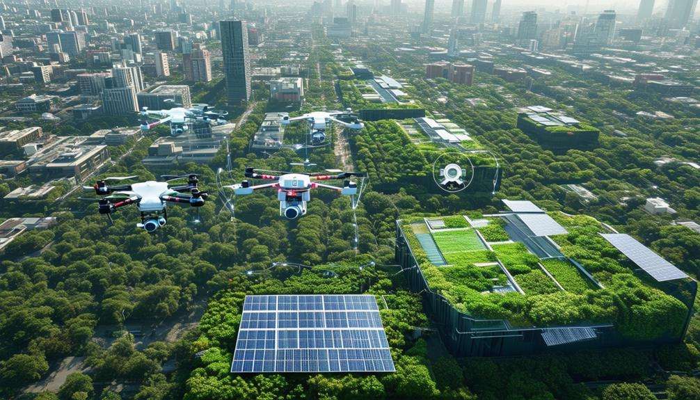
Drones are revolutionizing urban climate solutions by mapping heat islands and assessing building energy efficiency. Equipped with high-resolution cameras and sensors, these UAVs can monitor air quality and trace sources of greenhouse gas emissions in cities. This granular data collection is crucial for understanding the complexities of urban environments.
By flying over urban areas, drones gather data that can be analyzed to enhance building energy efficiency. This information guides retrofitting projects and new construction, promoting sustainable city development. Additionally, monitoring air quality helps identify pollution hotspots, enabling targeted interventions to improve public health.
Drones offer cost-effective solutions for urban climate research, bridging the gap between traditional field observations and remote sensing. The detailed data they collect can be processed using artificial intelligence to provide deeper insights and predictive modeling, facilitating the development and implementation of effective urban climate strategies.
Incorporating drones into urban climate initiatives not only ensures precise data collection but also supports the creation of more resilient and sustainable cities. Embracing this technology can lead to significant advancements in mitigating climate change impacts in urban settings.
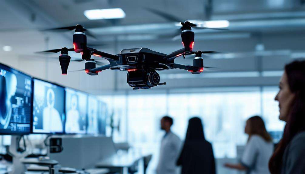
AI Integration in UAVs
Integrating AI with UAVs enhances data collection and real-time analysis crucial for climate change research. AI algorithms process drone-captured data to identify patterns and develop strategic responses. This synergy provides accurate insights and innovative solutions for addressing environmental challenges.
Enhanced Data Collection
By integrating AI with UAVs, researchers can gather more accurate and comprehensive data for climate change studies. This AI integration enables UAVs to efficiently monitor global carbon emissions, significantly enhancing data collection capabilities. With AI, UAVs can identify climate-related patterns through neural networks that process drone-captured imagery, enabling predictive modeling essential for understanding and mitigating climate change impacts.
AI-driven UAVs offer adaptive climate threat assessments by optimizing their routing and deployment coordination. This capability allows them to cover vast and remote areas more effectively, ensuring no critical data is overlooked. The integration of AI also enables UAVs to adjust their data-gathering methods in real-time, enhancing the precision of the collected information.
Additionally, UAVs equipped with AI can provide valuable insights for climate change mitigation in urban areas. By analyzing data on global carbon emissions and other critical factors, these drones can help develop strategies to reduce the urban carbon footprint. Ultimately, the combination of AI and UAVs enhances climate change research, making it more robust, precise, and actionable, thereby propelling the development of sustainable solutions.
Real-time Analysis
AI integration enables UAVs to deliver real-time analysis critical for immediate climate threat responses. These AI-driven drones perform comprehensive climate threat assessments, facilitating rapid reactions to emerging issues. Using neural networks, they process captured data to identify climate change patterns that might otherwise go unnoticed, improving data collection and providing a holistic understanding of environmental changes.
A key advantage is real-time hazard monitoring. As UAVs survey vulnerable areas, they continuously gather and analyze data, offering instant feedback on potential immediate risks. AI integration extends beyond monitoring to include predictive modeling. By generating simulations from gathered data, these drones help anticipate future climate impacts more accurately.
Furthermore, AI-driven UAVs optimize routing and deployment coordination, ensuring efficient resource use. Insights from real-time analysis enhance decision-making, equipping you with tools to combat climate change proactively. In essence, AI integration in UAVs revolutionizes climate change research and mitigation strategies.
Future Challenges
When considering the future of drones in climate change research, several challenges must be addressed. Navigating regulatory frameworks, ensuring data precision, and advancing technology are crucial. Overcoming these hurdles is essential to fully leverage the potential of drones in combating climate change.
Regulatory Hurdles Ahead
Overcoming the regulatory challenges of airspace restrictions, licensing requirements, and privacy concerns is essential for advancing drone-based climate change research. These regulatory barriers can significantly impede the effective use of drones in your projects. Ensuring compliance with aviation authorities and adhering to evolving regulations is crucial, particularly in urban areas where airspace is tightly regulated.
Balancing your data collection needs with regulatory constraints is critical to ensure your research activities are both legal and ethical. By navigating intricate regulatory frameworks, you can maximize the potential of drones in gathering vital environmental data.
Below is an overview of the main regulatory challenges:
| Regulatory Challenge | Description | Solution |
|---|---|---|
| Airspace Restrictions | Limited flight zones | Obtain special permissions |
| Licensing Requirements | Need for certified operators | Invest in training and licensing |
| Privacy Concerns | Data protection issues | Implement strict privacy policies |
| Compliance | Adhering to various regulations | Stay updated with regulatory changes |
| Legal Barriers | Navigating complex legal frameworks | Collaborate with legal experts |
Addressing these regulatory hurdles directly will enable you to effectively utilize drone technology in climate change research, ensuring both safety and compliance.
Data Accuracy Concerns
Ensuring accurate data collection with drones is crucial for reliable climate change research. This requires meticulous attention to sensor calibration, environmental conditions, and flight stability. Addressing these elements guarantees that your data is both precise and reliable.
Data accuracy depends heavily on consistent sensor calibration to prevent sensor drift, which can skew measurements over time. Environmental conditions such as temperature, humidity, and wind can also impact sensor performance and flight stability, potentially leading to inaccuracies.
During drone operations, maintaining high GPS signal quality is vital. Poor GPS signals can result in faulty georeferencing, making spatial alignment of the data challenging. Image distortion, often caused by rapid drone movements or unstable flight paths, can also compromise data accuracy.
Maintaining data accuracy involves continuous monitoring of sensor performance and regular software updates. Calibration routines should be a staple in your data collection process to ensure consistency.
Collaborative efforts between drone operators, data analysts, and researchers are crucial for data validation and verification. By prioritizing these aspects, you can enhance the reliability of drone-collected data for climate change research.
Technological Advancements Needed
Advancing drone technology to meet the demands of climate change research necessitates a focus on extended battery life, increased payload capacity, and enhanced autonomous capabilities. Drones must be able to stay airborne longer and carry sophisticated sensors for detailed data collection. But that's only the beginning.
Enhanced data processing is essential. As drones gather vast amounts of information, advanced algorithms are required to process and analyze this data efficiently. It's not just about data collection; it's about quickly and accurately making sense of it.
Autonomous capabilities are another critical area. Drones must navigate complex environments with advanced obstacle avoidance and adaptive flight planning. Picture drones flying through urban landscapes, avoiding buildings, and adjusting their paths in real-time. This level of autonomy will make climate change research more efficient and safer.
Satellite communication integration is also crucial. By linking drones with satellites, real-time data transmission and remote monitoring become possible. This ensures that researchers have immediate access to crucial information, enhancing their ability to respond swiftly to climate events.
Collaborative efforts among drone manufacturers, AI developers, environmental scientists, and policymakers are necessary to address regulatory challenges and ensure the ethical deployment of drones in climate research.
Conclusion
Drones have revolutionized climate change research by providing precise, real-time data. They track deforestation, study melting glaciers, and address urban climate issues with unparalleled accuracy.
Enhanced with AI, drones are more efficient, though challenges persist, necessitating ongoing innovation. These flying marvels have become indispensable allies in combating climate change, continuously expanding the frontiers of environmental science.