The Role of Drones in Public Safety and Emergency Response
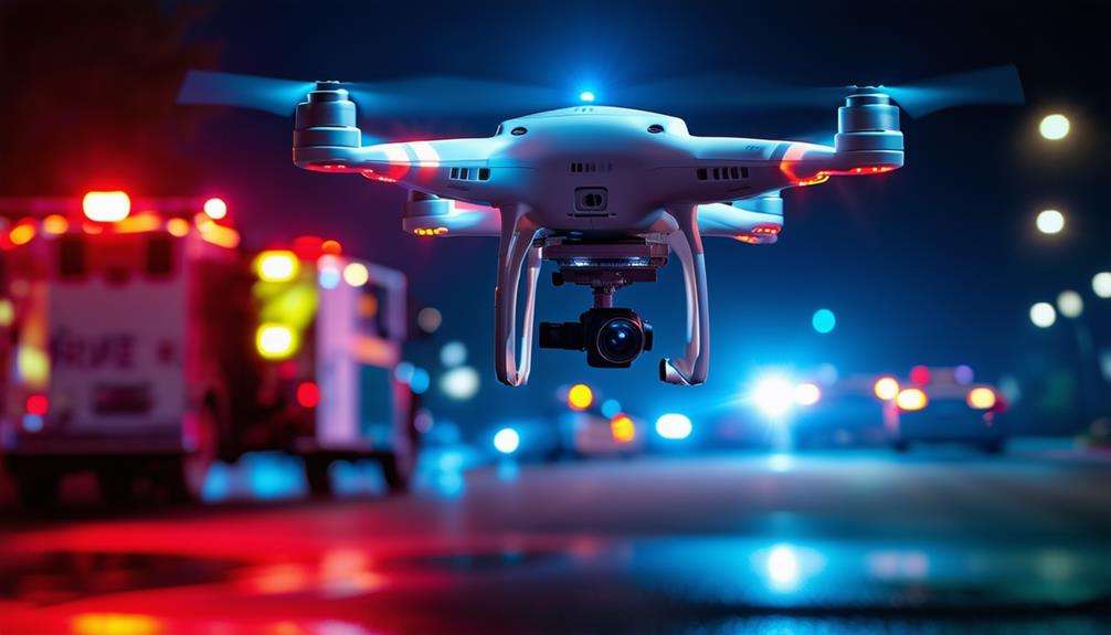
Imagine you're a first responder arriving at the scene of a natural disaster. Drones can provide you with rapid aerial views, allowing for swift and accurate situation assessment. Equipped with thermal sensors and high-resolution cameras, they can locate missing persons and evaluate hazardous areas without putting human lives at risk.
By enhancing real-time data collection and reducing response times, drones are transforming public safety and emergency response.
But how exactly do they integrate into the workflows of law enforcement and initial responders? Let's explore the various ways these advanced tools are making a significant impact.
Types of Law Enforcement
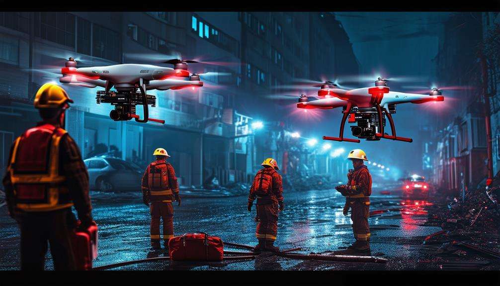
Different law enforcement units, including SWAT teams, crash teams, and crime scene investigation units, now utilize drones to enhance their operational efficiency and safety. Drones in public safety have become indispensable tools, providing SWAT teams with real-time aerial views during critical situations, thereby improving tactical planning and execution. The situational awareness offered by drones in high-risk scenarios is crucial for informed decision-making.
DFR (Drones as First Responders) programs are revolutionizing disaster response and emergency services by enabling drones to reach incident sites faster than ground units. This rapid deployment offers immediate intelligence that assists in decision-making processes. For crash teams and crime scene investigators, drones comprehensively document scenes, ensuring accurate and detailed evidence collection for court proceedings.
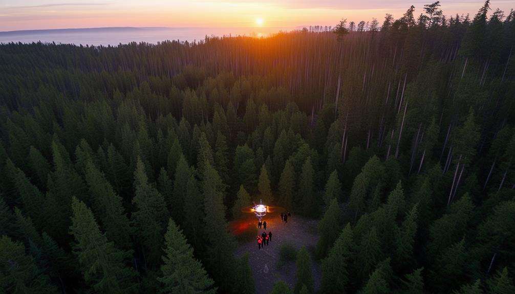
In disaster response scenarios, drones are invaluable for evaluating damage, locating victims, and guiding rescue operations. They act as force multipliers, allowing limited personnel to cover more ground efficiently. Additionally, drones are used to monitor large crowds during public events, ensuring safety and enabling swift responses to any arising issues.
Emergency Situations
In emergency situations, drones provide rapid damage assessment and assist in search and rescue operations. They offer real-time data and access hard-to-reach areas, making them invaluable during crises.
Equipped with thermal sensors, drones can detect individuals trapped in debris, ensuring faster and safer rescues.
Rapid Damage Assessment
In emergency situations, drones provide rapid damage assessment by delivering real-time aerial views of affected areas, which is crucial for effective emergency response. They capture high-resolution images and videos, helping to identify hazards, assess critical infrastructure, and prioritize necessary actions. The ability to efficiently survey large areas enables expedited decision-making and resource allocation.
Using drones gives you a comprehensive understanding of the situation from above, enhancing situational awareness and facilitating coordinated efforts. High-resolution images reveal details that might be missed from the ground, such as structural weaknesses or obstructed roads. This information is vital for planning subsequent steps and ensuring that assistance reaches the areas most in need.
Search and Rescue Operations
Drones have revolutionized search and rescue operations, enabling rapid access to remote and inaccessible areas. Equipped with thermal sensors, these drones can detect body heat, making it possible to locate missing persons even in complete darkness or dense foliage. Public safety agencies leverage this technology to cover large areas swiftly, enhancing the efficiency and effectiveness of search efforts.
Real-time data from drones provides emergency response teams with up-to-the-minute information, allowing for accurate situation assessments and informed decision-making. For example, during natural disasters such as flash floods, drones can predict water movement and aid in planning evacuations. They also help locate stranded individuals, ensuring rescue operations are precise and timely.
The Department of Homeland Security leads research on the use of drones in search and rescue missions with the aim of improving operational efficiency. By granting instant access to otherwise unreachable areas, drones significantly enhance response times and outcomes.
In emergency situations, drones offer invaluable support to public safety agencies committed to saving lives.
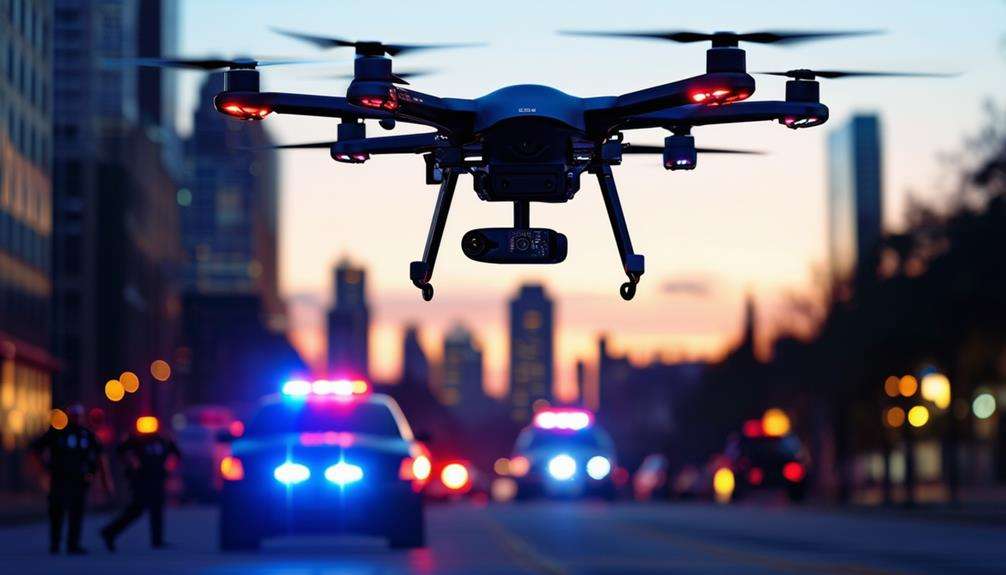
Benefits for Law Enforcement
Law enforcement agencies enhance situational awareness and operational efficiency through the strategic use of drones. In emergencies, having a drone can be a game-changer, providing real-time data to improve public safety and enabling officers to make quick, informed decisions. This situational awareness is critical for effective response coordination.
- Enhanced situational awareness: Drones offer a comprehensive aerial view, providing a clear understanding of the situation.
- Operational efficiency: Drones act as a force multiplier, enabling fewer officers to cover more ground efficiently.
- Thorough scene documentation: High-quality drone footage aids in meticulous scene documentation, which is valuable for court proceedings.
- De-escalation tool: Monitoring tense situations from a safe distance with drones can reduce the need for force.
- Versatility in operations: Drones are invaluable for various law enforcement tasks, including SWAT operations, crash investigations, and search and rescue missions.
Additional Uses for First Responders
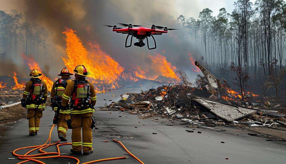
Emergency responders rely on drones to swiftly assess and manage various emergencies, from search and rescue missions to natural disaster responses. Deploying a drone as the initial responder acts as a force multiplier, enabling first responders to cover more ground and gather critical information without additional personnel. These drones provide real-time visual data, essential for making quick decisions in disaster management and enhancing overall efficiency.
In situations such as hazmat incidents or firefighting operations, drones equipped with thermal imaging cameras can detect heat sources and hazardous materials, identifying threats that may be invisible to the naked eye. This capability is crucial for ensuring the safety of both the emergency team and the public.
Drones also excel in crowd control during large public events, offering an aerial perspective that significantly enhances situational awareness.
Moreover, drones can access and monitor areas that are otherwise difficult or dangerous to reach, aiding forensic analysis and scene documentation with high-quality footage that can be used in legal proceedings. Integrating drones into emergency services provides a versatile tool, improving the ability to respond to a wide range of challenges effectively and safely.
Skydio Drones
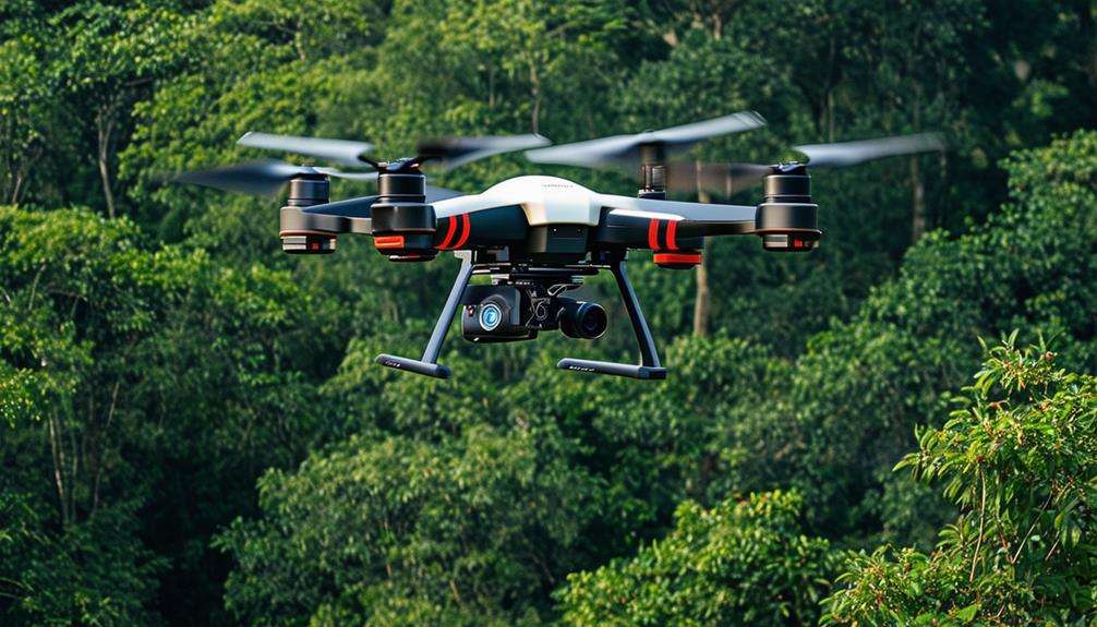
Skydio drones, equipped with state-of-the-art FLIR Boson+ thermal cameras and advanced obstacle-avoidance technology, provide exceptional capabilities for public safety and emergency response operations. These drones offer real-time aerial intelligence and high-resolution imagery, crucial for critical situations and rapid decision-making.
Key Features of Skydio Drones in Emergency Response:
- FLIR Boson+ Thermal Camera: Enhances visibility through smoke, fog, and darkness, uncovering hidden hazards.
- Advanced Obstacle-Avoidance: Employs sophisticated algorithms to navigate safely around obstacles, ensuring a seamless and secure flight path.
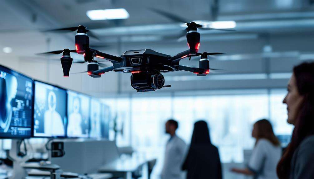
- Live Video Streaming: Delivers real-time aerial footage, facilitating swift and informed decision-making on the ground.
- Remote Pilot Control: Allows precise navigation in challenging conditions, ensuring comprehensive coverage and detailed monitoring.
- High-Resolution Imaging: Captures clear and detailed aerial photographs, enabling accurate analysis and response.
Skydio drones are designed to operate in complex environments, ensuring they can reach critical areas safely and efficiently.
Ease of Operation
Operating modern drones is remarkably straightforward, thanks to their user-friendly interfaces and intuitive controls. These advancements simplify critical tasks in public safety and emergency response. Equipped with automated flight modes like waypoint navigation and automated landing, drones further ease their use. As a primary responder, you can thus focus on the mission rather than the mechanics of flying.
Monitoring and controlling drones via mobile devices or dedicated controllers facilitates convenient real-time data collection. This data is crucial for making informed decisions during emergencies. Features like obstacle avoidance and GPS stabilization ensure safer operations, allowing navigation through complex environments without undue concern.
Training programs and certifications are available to ensure effective and safe drone operation. These programs cover everything from basic controls to advanced flight maneuvers, preparing you for diverse scenarios. On missions, you can rely on drones for efficient task execution, from aerial views to data collection, enhancing your role as a primary responder. This ease of operation makes drones indispensable in public safety.
Drone as First Responder
When seconds count, drones as primary responders deliver real-time information that can significantly enhance decision-making during emergencies. Acting as a leading responder, drones offer immediate visual assessments of situations, enabling quick and accurate evaluations. This capability transforms drones into a force multiplier for first responders, enriching their situational awareness and optimizing their response strategies.
Consider the following scenarios:
- Search and Rescue Missions: Drones swiftly locate missing persons and relay precise coordinates to response teams.
- Wildfire Monitoring: Real-time data from drones tracks fire progression and directs firefighting efforts effectively.
- Hazardous Material Spills: Drones assess spill areas, reducing risks to human responders.
- Traffic Accidents: They provide aerial views to manage traffic flow and facilitate emergency vehicle access.
- Criminal Pursuits: Drones track suspects, offering critical information without putting officers at risk.
Equipped with advanced sensors and imaging technologies, drones enhance situational awareness and improve resource allocation. Programs like the Chula Vista Police Department's Drone as a First Responder (DFR) initiative demonstrate how drones can reduce response times and optimize emergency management. By supplying real-time information, drones empower response teams to make informed decisions, ultimately increasing the safety and effectiveness of emergency operations.
Critical Drone Features
When selecting drones for public safety, focus on high-resolution cameras, real-time data transmission, and advanced navigation systems. These features ensure you capture detailed images, relay crucial information instantly, and accurately navigate complex environments.
Prioritizing these aspects enhances the effectiveness of drones in emergency response situations.
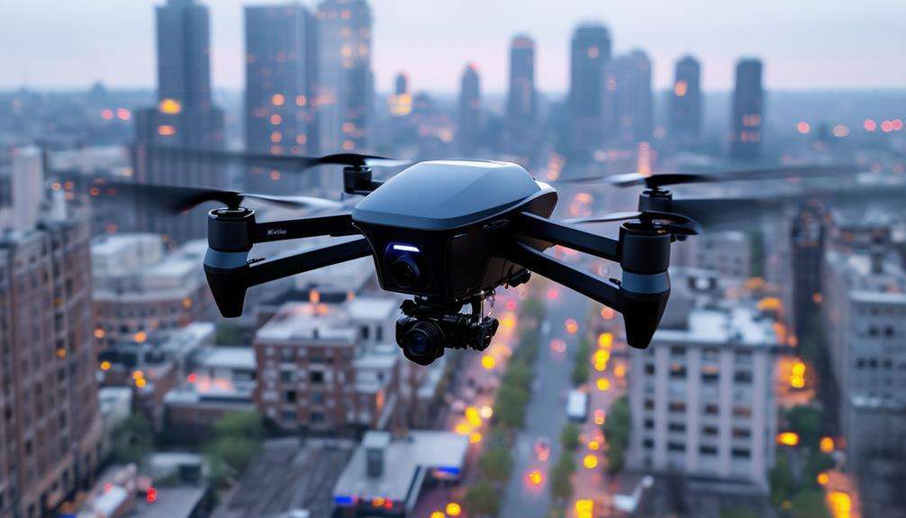
High-Resolution Camera Capabilities
Why are high-resolution camera capabilities in drones like the Skydio X10 a game-changer for public safety and emergency response?
High-resolution cameras enable detailed aerial photography with superior image quality, providing critical scene insights before ground officers even arrive. This means informed decisions can be made in real-time, enhancing situational awareness during public safety operations.
The Skydio X10 drone excels in capturing high-resolution images, which is essential for forensic analysis and documenting scenes for court purposes. It allows the assessment of situations from above, collecting real-time data that can be analyzed instantly to guide actions. This capability is vital in emergency scenarios where every second counts.
---
- Enhanced situational awareness: High-resolution cameras provide a comprehensive view of the scene.
- Superior image quality: Clearer images help identify crucial details.
- Real-time data collection: Immediate insights facilitate quick, informed decisions.
- Critical scene insights: Pre-ground arrival reconnaissance aids in strategic planning.
- Forensic analysis: High-quality footage is crucial for law enforcement documentation and court proceedings.
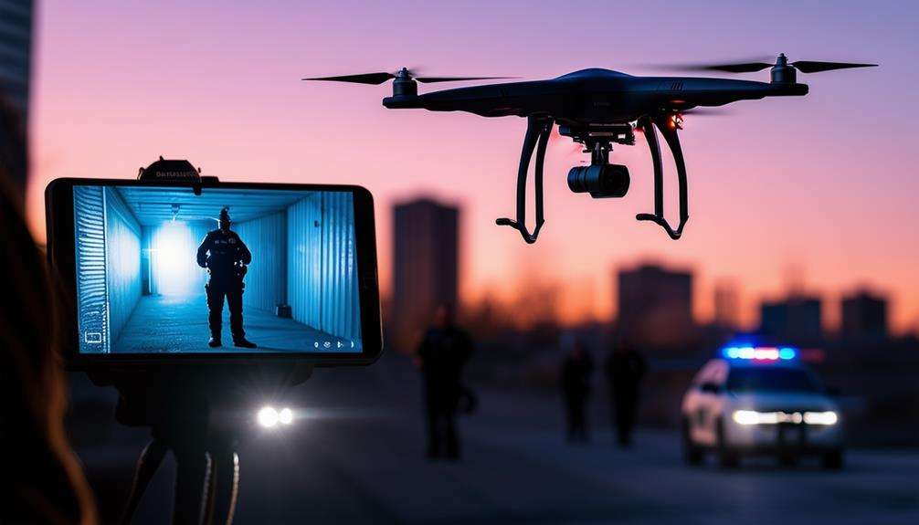
Real-Time Data Transmission
Real-time data transmission in drones delivers immediate aerial intelligence to first responders, greatly enhancing their ability to make swift, informed decisions during emergencies. Access to live video feeds from drones significantly improves situational awareness for ground teams. This real-time footage of affected areas allows responders to accurately identify danger zones and strategize more effectively.
Thermal imaging data transmitted in real-time is particularly transformative. By pinpointing hotspots and hidden hazards, responders can allocate resources and direct firefighting efforts with greater precision. The immediate sharing of data from drones to ground officers ensures everyone remains aligned, optimizing response coordination. This seamless information flow leads to faster, more efficient actions, potentially saving lives and minimizing damage.
Drones equipped with advanced obstacle avoidance technology maintain continuous real-time data transmission, ensuring operational safety and uninterrupted aerial intelligence. This technology enables drones to navigate complex environments without collisions, providing consistent data streams.
Advanced Navigation Systems
Drones leveraging real-time data transmission depend on sophisticated navigation systems such as GPS and AI tracking to maneuver through complex emergency scenes with precision. These systems ensure that drones can effectively support public safety and emergency response teams in high-pressure situations.
Key features of these advanced navigation systems include:
- GPS navigation: Provides precise mapping, enabling drones to accurately locate and deliver real-time data to ground teams.
- Obstacle avoidance technology: Mitigates collision risks, ensuring safe flight operations even in chaotic environments.
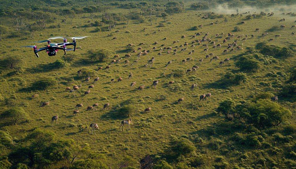
- AI tracking capabilities: Enhances situational awareness by autonomously following moving targets and collecting essential information.
- Environmental adaptability: Allows drones to operate effectively in various weather conditions and challenging terrains, broadening their utility in diverse emergency scenarios.
- Rapid deployment and autonomous flight: Facilitates swift and efficient response, minimizing the time to deliver crucial information to where it's most needed.
With these advanced navigation systems, drones offer unparalleled support during emergencies. The synergy of GPS navigation and obstacle avoidance technology guarantees safe and precise operations. AI tracking capabilities and environmental adaptability further enhance their effectiveness.
Rapid deployment and autonomous flight features enable drones to be quickly deployed, providing timely assistance and improving situational awareness for responders.
Real-World Case Studies
In examining real-world case studies, let's start with how the Chula Vista Police Department's Drone as First Responder (DFR) Program achieved a remarkable 40% reduction in response times using drones. These DFR programs have utilized drones as primary responders to enhance response capabilities. By leveraging real-time data collection, these drones provide immediate situational awareness, enabling better coordination and decision-making during emergencies.
This program isn't without challenges. Regulatory compliance and airspace management remain significant hurdles in drone deployment for public safety. However, the benefits are evident in various public safety scenarios, where drones have significantly improved response effectiveness.
Here's a summary of the key points:
| Key Aspect | Details |
|---|---|
| DFR Programs | Chula Vista's success with 40% reduced response times |
| Drones as Primary Responders | Immediate deployment, enhancing response |
| Real-Time Data Collection | Enhances coordination and decision-making |
| Challenges in Deployment | Regulatory compliance, airspace management |
| Situational Awareness | Critical in public safety scenarios |
FlytBase's automation technology also plays a crucial role, allowing for efficient fleet management and incident response, further showcasing the potential of drones in public safety and emergency response.
Regulatory Landscape
Adhering to FAA regulations is crucial when deploying drones for public safety operations. This includes understanding certification requirements and obtaining necessary waivers for specific missions.
Compliance ensures that your drone activities are safe and legal.
Compliance With Laws
Ensuring compliance with a complex set of regulations is essential for the safe and legal use of drones in public safety and emergency response. Navigating FAA regulations, such as Part 107, which governs commercial drone operations, is crucial. Adhering to these rules ensures legal operation within controlled airspace and secures necessary certifications and permissions for your missions.
Consider these key points to maintain compliance:
- FAA Regulations: Understanding and following Part 107 is imperative for legal drone operation.
- Airspace Rules: Be knowledgeable about various airspace classes and the permissions required for each.
- Local and State Laws: These can vary significantly and may impose additional requirements beyond federal regulations.
- Certifications and Permissions: Obtaining the appropriate certifications is essential for lawful drone use in public safety.
- Data Protection: Comply with privacy laws to safeguard sensitive information and individuals' rights.
Understanding these regulations helps you avoid legal issues and enhances the effectiveness of your emergency response efforts.
Staying current with the latest laws and securing all necessary permissions ensures that your drone operations are safe and legally compliant.
Compliance isn't just about following rules; it's about maintaining the integrity and reliability of your public safety missions.
Certification Requirements
Understanding certification requirements is crucial for ensuring your drone operations in public safety are both legal and effective. In the U.S., drone operators must comply with FAA regulations, specifically obtaining Part 107 certification for commercial drone use. To achieve this certification, you need to pass a knowledge test, be at least 16 years old, and undergo a TSA security screening, ensuring you're knowledgeable about the rules and can operate drones safely.
Public safety agencies often employ drones for emergency response missions and may need to obtain waivers for certain operational restrictions. These waivers provide greater flexibility during critical situations, such as flying over people or operating at night. Despite these waivers, adherence to local, state, and federal laws remains essential.
Recreational drone operators must also follow FAA guidelines. Drones weighing over 0.55 lbs must be registered, and operators must adhere to specific safety rules to prevent accidents.
Ensuring compliance with these certification requirements and regulations contributes to the effective and lawful use of drones in public safety and emergency response.
Conclusion
Drones have revolutionized public safety and emergency response by providing vital aerial views, rapid assessments, and enhanced situational awareness. In law enforcement, search and rescue missions, and crowd monitoring, drones offer invaluable support.
Equipped with advanced technology like thermal sensors and high-resolution cameras, they enable faster and more efficient operations. As regulations evolve, drones are expected to become increasingly essential in ensuring community safety and effective crisis response.