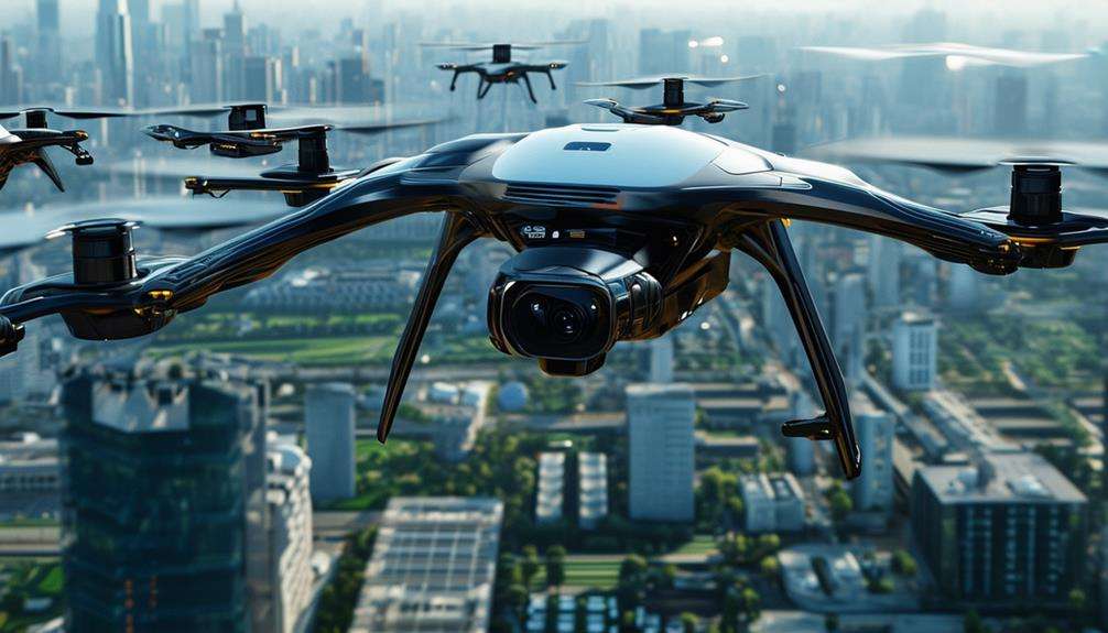
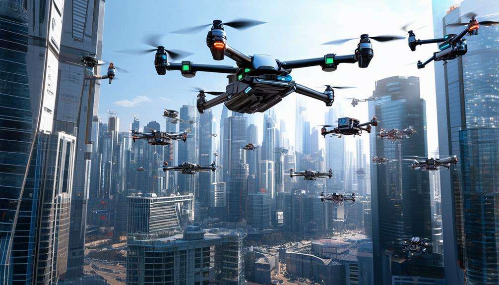
The Top 10 Commercial UAV Applications You Need to Know
Drones have evolved far beyond simple recreational devices, becoming essential tools in numerous commercial sectors. Their ability to enhance efficiency and safety is particularly notable. For instance, UAVs are revolutionizing infrastructure inspection by easily accessing hard-to-reach areas, while in search and rescue missions, they provide real-time data crucial for saving lives. These examples just scratch the surface. From precision agriculture to environmental monitoring, drones are proving indispensable in modern industry. Curious to learn more about their transformative potential? Discover how UAVs are reshaping various fields.
Infrastructure Inspection
Drones equipped with high-resolution cameras are transforming infrastructure inspections by enabling precise identification of structural issues. These advanced drones can conduct detailed assessments of bridges, buildings, and power lines, capturing high-quality images that reveal problems requiring timely repairs, thereby preventing potential disasters.
Using drones for infrastructure inspections enhances safety significantly. They can access hard-to-reach locations without exposing workers to dangerous heights or hazardous conditions, leading to fewer accidents and a safer work environment. Drones also streamline the inspection process, reducing the need for manual labor and associated costs. Their efficient and unobtrusive operation ensures there are no service disruptions during maintenance activities.
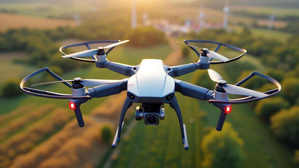
High-endurance fixed-wing drones, like the JOUAV CW series, offer an operational range of up to 100 km, making them ideal for extensive infrastructure assessments. These drones can cover large areas quickly and thoroughly, improving maintenance efficiency and reducing the frequency of costly accidents or failures. By quickly identifying issues such as damaged equipment or encroaching vegetation, they ensure that your infrastructure remains in optimal condition.
Search and Rescue
Drones equipped with thermal imaging technology are transforming search and rescue operations. These drones can quickly cover large areas, making it easier to locate missing persons in challenging terrains. Their rapid deployment allows for real-time data collection, which is crucial for assessing conditions and coordinating rescue efforts effectively.
In scenarios where individuals are stranded in remote or disaster-stricken areas, unmanned aerial vehicles (UAVs) can deliver essential supplies like food, water, and medical kits, significantly improving survival chances. These drones are more than just flying cameras; they are lifelines. High-resolution cameras provide aerial footage that enhances situational awareness for rescue teams, enabling informed decision-making and prioritization of actions during high-stakes missions.
One of the most significant advantages is the reduction of risk to human life. By using drones, rescue teams can avoid entering dangerous or inaccessible areas, minimizing risks to personnel and ensuring that rescue operations are both efficient and safe.
Precision Farming
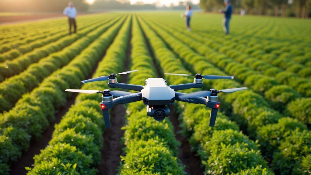
In precision farming, drones equipped with multispectral cameras enable the early detection of nutrient deficiencies, pests, and diseases in crops. These drones also enhance irrigation management by identifying areas that require more or less water, thereby reducing waste and boosting yields. This technology facilitates data-driven decision-making, increasing productivity and reducing costs.
Crop Health Monitoring
Imagine boosting your crop yields by up to 20%—this is the promise of precision farming with UAVs (Unmanned Aerial Vehicles). Drones are transforming commercial agriculture by providing unprecedented insights into crop health. Equipped with multispectral cameras, these UAVs can detect nutrient deficiencies, pests, and diseases in your crops, enabling timely interventions to enhance health and yield.
Here's how drones can revolutionize your farming practices:
- Automated Crop Monitoring: Drones automate the process of crop health monitoring, significantly reducing labor costs. They offer detailed insights into crop growth and health across large areas with minimal manual effort.
- Real-Time Data: Drones provide real-time data, allowing for targeted interventions. Addressing issues as they arise can lead to a 10-20% increase in crop yields.
- Aerial Mapping: Conducting aerial mapping helps in the precise identification of crop issues. This precision enables targeted actions, such as specific spraying to combat pests and diseases.
- GPS Integration: Integrating drone technology with GPS-guided tractors enhances resource management. Accurate data collection and analysis improve yield predictions and overall farming efficiency.
Incorporating UAVs into your farming strategy not only optimizes crop health but also boosts productivity and profitability.
Optimized Irrigation Analysis
Harnessing UAV technology for optimized irrigation analysis can significantly enhance precision farming. By using drones equipped with multispectral cameras, you can assess crop health and identify areas needing improved irrigation. This technology ensures more efficient water usage and boosts crop yields. For instance, drones collect NDVI (Normalized Difference Vegetation Index) data, helping to pinpoint underperforming sections of your fields that may require extra moisture or changes in irrigation practices.
Research shows drones can reduce water waste by up to 30% through precise irrigation applications. This reduction minimizes excess runoff and promotes sustainable farming practices. With real-time monitoring of soil moisture levels facilitated by drones, farmers can make data-driven decisions on irrigation scheduling and resource allocation.
Integrating drone technology with GPS-guided irrigation systems further enhances precision farming. This combination increases productivity and reduces costs associated with water usage. In commercial agriculture, drones provide a powerful tool for optimized irrigation, making farming operations more efficient and environmentally friendly. Embracing this technology is crucial for staying competitive in the agricultural industry.
Law Enforcement
In law enforcement, drones provide real-time surveillance, offering a critical advantage in hostage situations and active shooter incidents. Equipped with high-resolution cameras, they enhance response efficiency by monitoring large crowds and conducting routine patrols in high-crime areas. The integration of UAVs has transformed traditional policing, ensuring faster and more effective operations.
Enhancing Real-Time Surveillance
Real-time aerial intelligence is transforming how law enforcement agencies handle critical situations. Drones, with their high-resolution cameras and thermal imaging technology, offer a unique vantage point, providing crucial information in life-or-death scenarios such as hostage situations and active shooter incidents. These advanced capabilities in aerial photography surpass traditional methods, offering unparalleled detail.
Consider these benefits:
- Crowd Monitoring: Drones can oversee large events, identify potential safety threats, and assist in managing accident investigations from an aerial perspective.
- Routine Patrols: They can conduct regular patrols in remote or hard-to-reach areas, enhancing public safety without the need for human presence.
- Cost Efficiency: Utilizing drones reduces the costs and risks associated with manned aircraft or ground patrols.
- Integrated Systems: When integrated with existing security frameworks, drones streamline operations, improving crime prevention and investigation efforts.
The use of drones in law enforcement is not just a trend—it's a transformative shift. Enhancing real-time surveillance allows for faster responses, better data collection, and ultimately, safer communities.
Improving Response Efficiency
Leveraging drone technology significantly enhances response efficiency for law enforcement agencies. In critical incidents like hostage situations or active shooter scenarios, drones provide real-time intelligence that boosts situational awareness. This immediate data enables officers to make informed decisions more rapidly, dramatically improving response times.
Monitoring large crowds becomes more manageable with drones, as they can swiftly identify potential safety issues and facilitate quicker responses to incidents. This capability is crucial at events with large gatherings, where traditional surveillance can be challenging.
Drones also improve public safety during routine patrols. In remote or high-crime areas, drones cover larger areas more effectively than ground patrols. This efficient coverage allows for quicker incident responses and more effective crime deterrence.
Equipped with high-resolution cameras, drones play a significant role in accident investigations. Aerial photographs captured by drones provide essential evidence for legal proceedings, streamlining the investigative process and enhancing accuracy.
Integrating drone technology into law enforcement operations has been shown to reduce response times by up to 50%. This improvement facilitates more effective emergency management, making drones an invaluable asset to law enforcement.
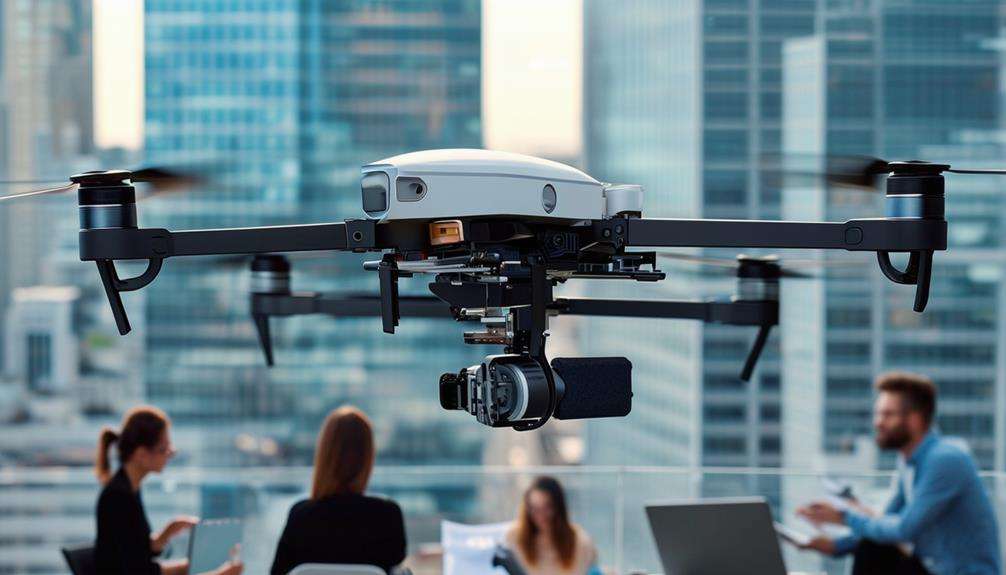
Aerial Photography
Drones equipped with high-definition cameras have revolutionized aerial photography, providing breathtaking views that traditional methods can't match. With commercial drones, you can capture stunning images from unique perspectives, including challenging angles and altitudes.
Using drones for aerial photography is a cost-effective alternative to traditional methods like helicopters or planes, significantly reducing operational costs while delivering high-resolution imagery across various industries. Here are four key benefits:
- Real Estate Marketing: Enhance marketing materials with immersive 3D visualizations and stunning landscape shots, offering potential buyers an aerial view of properties.
- Film Industry: Achieve dynamic aerial shots and sweeping landscapes that add a new dimension to storytelling, as seen in productions like the Harry Potter series and the Sochi Winter Olympics.
- Media Coverage: Provide high-quality, stabilized shots for news and event documentation, making coverage stand out with superior visual appeal.
- Event Documentation: Capture comprehensive views of large events, ensuring no detail is missed and offering a unique perspective for viewers.
Advances in drone technology, such as improved stabilization systems and longer flight times, have further enhanced the quality of aerial photography. Consequently, commercial drones have become indispensable tools for professionals seeking to capture stunning aerial imagery.
Mapping and Surveying
Mapping and surveying have been revolutionized by advanced drone technology, offering unparalleled speed and accuracy. In commercial applications, drones provide faster and more precise solutions, producing high-resolution imagery essential for construction and mining projects. By automating data collection, they significantly save time and reduce the need for manual labor in site planning and progress monitoring. This automation enhances efficiency and productivity, covering vast areas much quicker than traditional ground methods.
Moreover, integrating LiDAR technology with drones elevates mapping precision, enabling the creation of detailed 3D models of landscapes. This supports urban planning and development projects with unmatched accuracy. The economic impact is substantial, with the mapping and surveying sector valued at around US$10 billion in 2023, underscoring the importance of drone applications in this field.
While drone delivery garners much attention, advancements in mapping and surveying are truly transforming industries. Drones deliver high-quality data collection and analysis, making them indispensable for modern surveying tasks. Their ability to efficiently tackle large-scale projects is a game changer, rendering traditional methods almost obsolete.
Environmental Monitoring
Using drones, you can monitor wildlife populations and habitat conditions in real-time, providing crucial data for conservation efforts. These UAVs also help detect illegal activities like poaching and logging, enabling rapid response to environmental crimes. Leveraging this technology enhances your ability to protect ecosystems and enforce environmental laws efficiently.
Wildlife Population Tracking
By leveraging advanced imaging technology like thermal and multispectral cameras, researchers can monitor wildlife populations and migration patterns with minimal disturbance to the animals. Drones have become indispensable tools in conservation efforts, significantly enhancing wildlife population tracking. These aerial surveys provide accurate data on animal counts and habitat conditions, surpassing traditional ground methods.
Why should you consider drones for wildlife population tracking? Here are four compelling reasons:
- Efficiency: Drones can quickly cover vast and inaccessible terrains, facilitating the monitoring of endangered species and their habitats. This efficiency allows for the collection of more data in less time.
- Cost-Effectiveness: Utilizing drones reduces the time and costs associated with wildlife studies, enabling more effective resource allocation. This affordability makes consistent monitoring achievable.
- Enhanced Protection: Drones can identify poaching activities and monitor illegal logging, thereby increasing the protection of vulnerable ecosystems. They act as vigilant eyes in the sky, safeguarding wildlife.
- Accurate Data: Aerial surveys yield precise assessments, aiding in informed decision-making. The high-quality data collected ensures that conservation strategies are based on reliable evidence.
Habitat Condition Monitoring
In today's rapidly changing world, drones equipped with multispectral cameras offer a robust method for monitoring habitat conditions, ensuring that conservation efforts are data-driven and effective. Utilizing drones for habitat condition monitoring provides precise data on vegetation health, soil quality, and water sources, allowing for a comprehensive ecosystem assessment without disturbing the natural habitats intended for protection.
Environmental monitoring with drones extends beyond vegetation and soil analysis. UAVs can also track wildlife populations and migration patterns, offering detailed insights into animal movements and behaviors. This real-time surveillance capability is crucial for identifying changes in habitat conditions due to climate change or human activity, enabling the development of effective management strategies.
Furthermore, drones significantly reduce both the cost and time required for environmental assessments. Traditional ground surveys are labor-intensive and time-consuming, whereas UAVs streamline the process, enhancing the efficiency of habitat condition monitoring. Additionally, drones are invaluable for detecting pollution incidents and monitoring industrial emissions, aiding in proactive environmental protection and regulatory compliance.
This integrated approach ensures that habitat condition monitoring is precise, comprehensive, and efficient, supporting sustainable conservation and environmental management efforts.
Illegal Activity Surveillance
Deploying drones for illegal activity surveillance revolutionizes environmental monitoring by providing unparalleled access to hard-to-reach areas. Drones equipped with high-resolution cameras and thermal imaging can effectively monitor and detect illegal activities such as poaching, logging, and pollution incidents. Here's how drones enhance environmental monitoring efforts:
- Rapid Area Coverage: Drones can survey large areas significantly faster than traditional methods, enabling real-time tracking of deforestation and other environmental changes.
- Wildlife Protection: Drones collect data on wildlife populations, helping to combat illegal hunting and ensure compliance with conservation regulations. This provides accurate and timely information to authorities, aiding in the protection of endangered species.
- Cost-Effectiveness: Utilizing drones reduces operational costs substantially compared to manned aircraft, making it a financially viable option for extensive environmental monitoring tasks.
- Enhanced Detection: Drones improve the detection of industrial emissions and compliance violations, supporting the enforcement of environmental regulations and the protection of natural resources.
Integrating drones into environmental monitoring programs enhances efficiency and ensures that illegal activities are swiftly identified and addressed, safeguarding the environment for future generations.
Disaster Management
Harnessing the power of drones in disaster management has revolutionized emergency response efforts by enabling rapid deployment and real-time data collection during crises. When disasters occur, drones can be swiftly deployed to provide immediate aerial views of the affected areas, significantly enhancing damage assessment and victim location. This capability drastically reduces response times.
Equipped with advanced thermal imaging technology, drones offer crucial real-time information about ground conditions. They can identify individuals trapped in rubble or hard-to-reach areas, making search and rescue operations more efficient and effective.
Drones also improve situational awareness for emergency teams. Aerial views allow responders to better plan and coordinate their efforts, ensuring optimal use of resources. Additionally, drones can monitor environmental conditions post-disaster, aiding in pollution detection and assessing impacts on ecosystems and infrastructure.
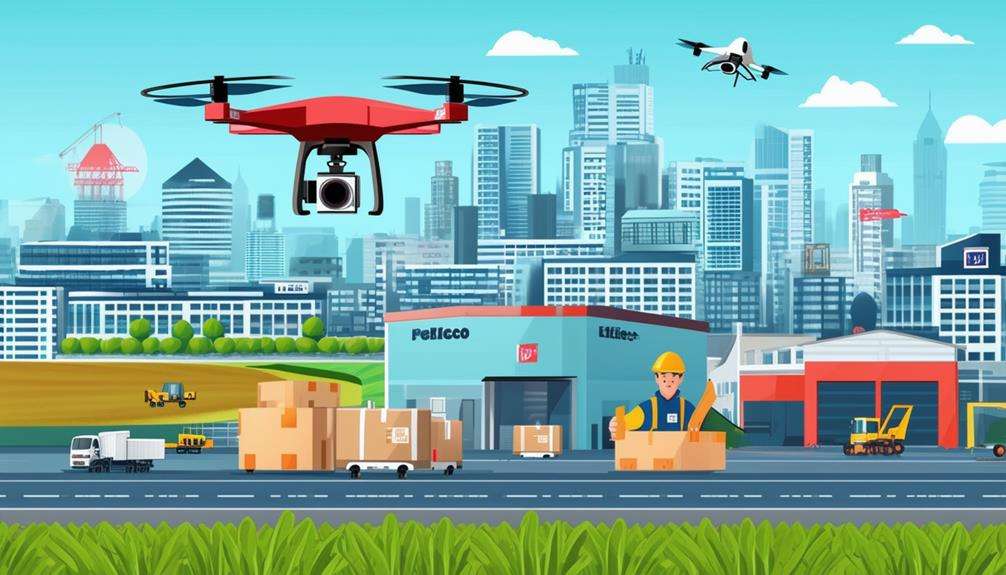
Delivery Services
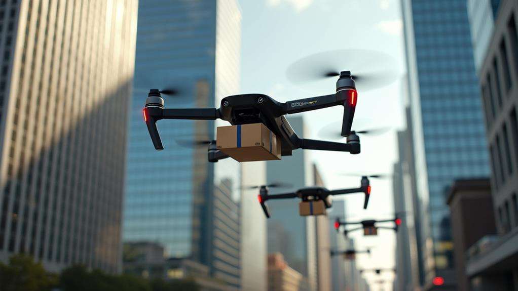
Drones are revolutionizing delivery services by enabling faster transportation of goods and significantly reducing transit times, particularly benefiting urban and remote areas where traditional methods often encounter delays and higher costs.
Leading companies like Wing and UPS are at the forefront of this transformation, optimizing logistics and making substantial advancements in operational efficiency. By incorporating drones into commercial use, these companies are setting new benchmarks for efficiency and reliability.
Key points to consider include:
- Medical Supply Deliveries: Drones facilitate timely access to essential medical supplies in remote regions, reducing logistics costs and potentially saving lives.
- E-commerce Growth: Drone delivery services are expected to address last-mile delivery challenges, thereby boosting e-commerce growth by offering faster and more reliable solutions.
- Environmental Benefits: Utilizing drones for deliveries reduces the need for vehicles, lowering carbon emissions and supporting sustainable logistics practices.
- Operational Efficiency: Companies using drone technology can optimize delivery routes and reduce transit times, leading to enhanced customer satisfaction.
Telecommunications
Drones are revolutionizing the telecommunications industry by transforming how companies survey, install, and maintain infrastructure. Their commercial use streamlines site assessments for new infrastructure installations, enhancing efficiency and accuracy. This allows for the quick identification of optimal locations, accelerating planning and reducing errors.
In emergencies, drones can establish temporary communication networks, providing essential connectivity in remote or disaster-stricken areas. This capability ensures people remain connected during critical times. Additionally, drones equipped with advanced communication technology can identify and map dead zones in existing networks, thereby improving signal coverage and performance.
Integrating drones into telecom operations facilitates rapid inspection and maintenance services for towers and antennas. This not only reduces downtime but also lowers operational costs, enhancing overall business efficiency. By collecting critical data on network performance and infrastructure conditions, drones contribute to better network planning and management.
Ultimately, the use of drones in telecommunications significantly enhances service delivery. These UAVs have become indispensable tools, revolutionizing the management and maintenance of telecom infrastructure.
Related posts