UAVS in Archaeology: How Drones Are Uncovering the Past From Above
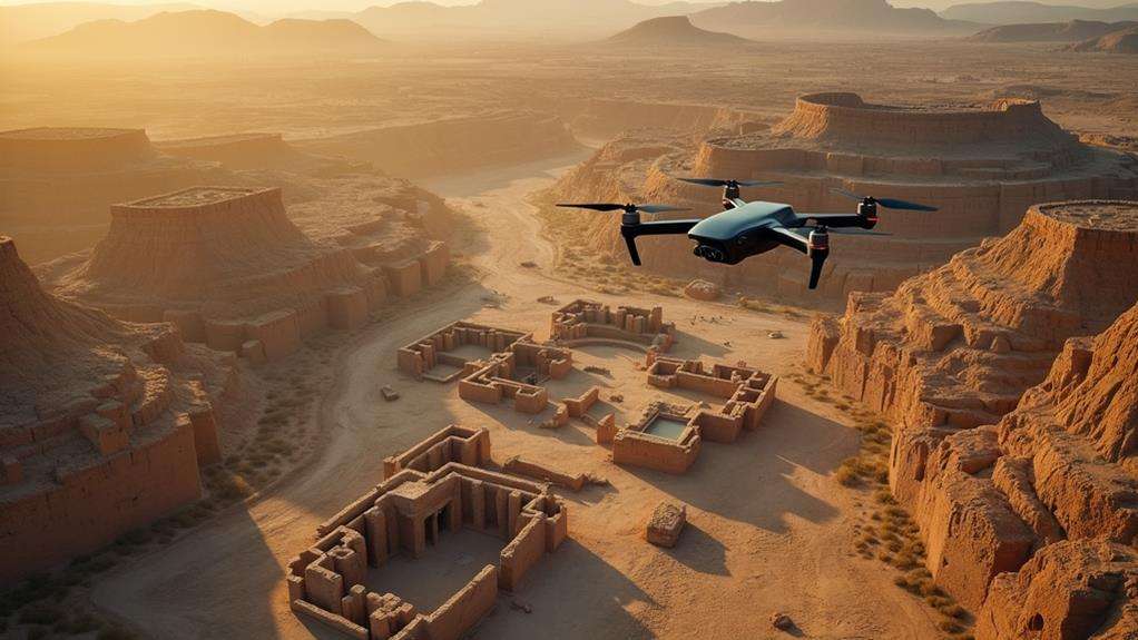
Imagine you're an archaeologist with access to a tool that can uncover hidden structures without disturbing the ground. UAVs, or drones, are revolutionizing archaeological surveys, offering high-resolution imagery and rapid data collection. These advancements enable the identification of previously invisible features, integration into GIS for enhanced spatial analysis, and all at a fraction of the cost and time of traditional methods. Curious about how drones have mapped ancient Mayan cities and Roman ruins? Let's explore how this technology is reshaping the field of archaeology.
Importance of UAVs in Archaeology
Unmanned Aerial Vehicles (UAVs) have fundamentally transformed archaeological research. These drones offer high-resolution imagery and rapid data collection, enabling the survey of extensive areas more quickly and cost-effectively than traditional methods. This allows for increased coverage and efficiency in archaeological exploration.
One of the key benefits of UAVs is their non-invasive nature. They can capture detailed images and data from above, preserving the integrity of fragile archaeological sites. This method ensures comprehensive documentation without physical disruption.
Equipped with advanced sensors, drones can also capture multispectral imagery, allowing for the analysis of vegetation and the identification of potential archaeological features obscured by foliage. This capability is akin to having x-ray vision for the landscape, revealing hidden elements that would otherwise remain undetected.
When integrated with Geographic Information Systems (GIS), UAVs enable detailed spatial analysis. This integration enhances the ability to monitor and manage archaeological sites over the long term, aiding in their preservation for future generations.
Technological Advances in UAVs
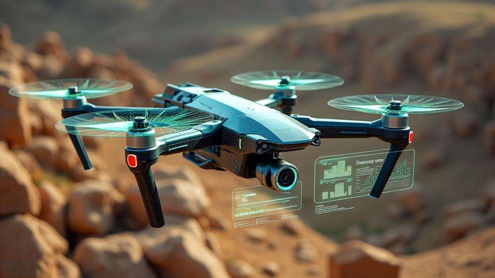
Recent technological advances have significantly enhanced the utility of UAVs in archaeology. Modern UAV technology now features improved GPS positioning systems and obstacle avoidance capabilities, providing greater accuracy and safety in aerial surveys. This allows for precise navigation and documentation of archaeological sites, minimizing the risk of missing critical details.
High-quality cameras and advanced sensors capture detailed, high-resolution imagery and multispectral data, facilitating comprehensive data analysis. These sensors can even detect materials and structures buried beneath the surface, revealing hidden features and subtle landscape variations that might otherwise go unnoticed.
Extended battery life and longer flight durations enable the coverage of larger areas without frequent recharging, making it more efficient to survey expansive sites thoroughly.
Additionally, advanced software for data analysis, such as photogrammetry and GIS, allows for the creation of detailed 3D models and spatial analyses from drone-collected imagery. Continuous improvements in UAV technology are paving the way for innovative applications, including real-time data processing and automated mapping capabilities, thereby making archaeological research more dynamic and insightful.
UAVS Vs. Traditional Methods
Comparing UAVs to traditional methods reveals significant benefits in data collection, cost, and time efficiency. Drones offer high-resolution imagery and can safely access hazardous locations, thereby expediting and securing archaeological work. Additionally, technologies such as LiDAR enable site mapping without ground disturbance, preserving artifact contexts and reducing overall survey costs.
Enhanced Data Collection
The integration of UAVs, commonly known as drones, into archaeological practices has revolutionized data collection by making it faster and more efficient compared to traditional methods. Drones equipped with high-resolution cameras and remote sensing technologies can quickly gather detailed imagery over large areas, minimizing the need for labor-intensive ground surveys.
- Drones can access difficult or hazardous locations, such as cliffs or dense forests, ensuring comprehensive surveys.
- High-resolution images and multispectral data provide valuable insights into vegetation and soil conditions, enhancing the analysis of archaeological sites.
- UAVs enable rapid data collection, significantly reducing survey time compared to traditional ground methods.
- Integrating drone-collected data with Geographic Information Systems (GIS) facilitates sophisticated spatial analysis and long-term site monitoring.
These advantages offer a more detailed and comprehensive understanding of archaeological sites. While traditional methods remain valuable, they often lack the speed, safety, and detail provided by UAVs. By incorporating cutting-edge remote sensing technologies, drones are transforming how we uncover and analyze past civilizations.
Cost and Time Efficiency
Beyond enhanced data collection, UAVs offer significant cost and time efficiency advantages over traditional archaeological methods. UAVs can rapidly cover extensive areas, drastically shortening the time required for mapping and surveying from weeks or months to mere days.
Additionally, UAVs reduce costs by decreasing the need for extensive manpower and heavy equipment typically associated with traditional excavation and surveying. They enable aerial surveys, delivering high-resolution imagery and data in a fraction of the time it would take to gather similar information through conventional techniques.
Here's a quick comparison:
| UAVs | Traditional Methods |
|---|---|
| Rapid area coverage | Slow, labor-intensive |
| Reduced manpower requirements | High manpower needs |
| Lower equipment costs | Expensive equipment required |
| High-resolution aerial imagery | Ground-level data collection |
| Automated, consistent data | Manual, variable data collection |
Accessibility and Safety
Exploring archaeological sites often involves navigating challenging terrains and inaccessible areas. Drones, or UAVs, revolutionize this by providing access to cliffs, dense forests, and remote landscapes that traditional ground surveys struggle to reach. This enhances accessibility and ensures safety by minimizing the physical risks associated with these environments.
Using drones at archaeological sites offers numerous benefits:
- They can cover large areas quickly, saving time and reducing the manpower needed for mapping and surveying.
- UAVs allow for comprehensive data collection without physically disturbing sensitive sites, preserving their integrity.
- Aerial imaging helps identify potential hazards from a distance, enhancing safety before fieldwork begins.
- The cost-effectiveness of drones makes them accessible for smaller projects with limited budgets.
Traditional methods often require more equipment and personnel, making them less practical for challenging or dangerous terrains. In contrast, drones streamline the process, making it safer and more efficient. This technology not only opens up new avenues for exploration but also protects the sites being studied. Ultimately, UAVs elevate both the safety and accessibility of archaeological investigations, ensuring that the past can be uncovered without compromising well-being or site integrity.
Remote Sensing Capabilities
Harnessing the power of remote sensing, UAVs (Unmanned Aerial Vehicles) are revolutionizing archaeology with unparalleled efficiency and precision. Equipped with thermal sensors and structure-from-motion (SfM) technology, drones can detect subsurface anomalies and concealed archaeological sites, significantly enhancing exploration efficiency. This non-invasive approach preserves the context of artifacts and reduces the need for disruptive traditional excavation methods.
By collecting multispectral imagery, drones help analyze vegetation patterns, which can reveal archaeological features below the surface. This technique provides a unique advantage, enabling the identification of areas of interest that might otherwise go unnoticed. Additionally, integrating aerial LiDAR systems with drone technology offers precise topographical data, uncovering hidden structures and landscapes obscured by vegetation.
Advanced remote sensing techniques expand research opportunities and provide diverse scientific perspectives. Detailed spatial analysis through these methods offers new insights into ancient human activities, making drones indispensable in modern archaeology. This technology not only makes site prospecting more efficient but also opens new avenues for understanding our past.
Mapping and Surveying Sites
Drones are revolutionizing archaeological mapping and surveying. Equipped with high-resolution cameras and advanced sensors, drones capture detailed aerial images, enabling the creation of precise maps of archaeological sites. This capability is crucial for identifying structures and features that are not visible from the ground.
By utilizing photogrammetry software, these aerial images can be converted into 3D models, offering a comprehensive visualization of the site. This method reveals spatial relationships between structures that are not apparent from a ground-level perspective. The advantages of using drones extend beyond mere visualization:
- Efficiency: Drones can survey extensive areas rapidly, significantly reducing the time and costs compared to traditional ground-based methods.
- Subsurface Detection: Drones can identify subsurface features by capturing variations in vegetation and soil, aiding in the planning of excavation activities.
- GIS Integration: Drone data can be integrated with Geographic Information Systems (GIS) for advanced spatial analysis and long-term site monitoring.
- Enhanced Accuracy: High-resolution aerial surveys improve the mapping process, ensuring the most precise data for research purposes.
Incorporating drones into archaeological practices transforms site mapping and surveying, making them faster, more accurate, and less invasive. This technological advancement not only conserves time and resources but also uncovers hidden details of our historical heritage.
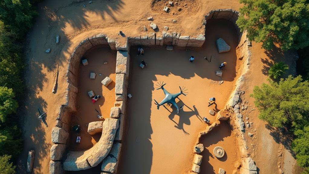
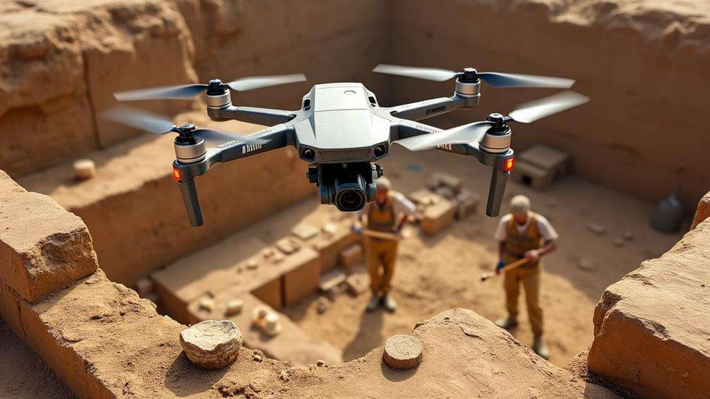
Non-Invasive Exploration
Non-invasive exploration in archaeology utilizes drone technology to collect essential data while maintaining the integrity of delicate sites. Drones minimize disturbance to these fragile areas, ensuring their preservation for future generations. Equipped with thermal sensors and multispectral imaging, drones can detect subsurface anomalies and reveal hidden structures without requiring ground excavation, allowing the discovery of ancient secrets without physical disruption.
Drones enhance efficiency and cost-effectiveness. By quickly surveying extensive areas, they save both time and resources compared to traditional excavation methods. Integrating drone data with GIS software facilitates the creation of detailed maps and 3D models, improving spatial analysis and comprehension of ancient sites.
Key contributions of drones to non-invasive exploration include:
| Feature | Benefit |
|---|---|
| Thermal Sensors | Detect subsurface anomalies |
| Multispectral Imaging | Reveal hidden structures |
| Efficient Area Coverage | Save time and reduce costs |
These non-invasive techniques also aid in documenting and monitoring cultural heritage. Data collected by drones enable authorities to implement protective measures to safeguard these invaluable archaeological sites. Thus, the process not only uncovers the past but also actively preserves it for the future.
Case Studies in UAV Archaeology
Drones have revolutionized the study of ancient Mayan cities by revealing hidden structures and enhancing our understanding of their urban layouts. UAVs have similarly transformed the study of Roman ruins in Europe, uncovering previously unknown military sites and road networks. In North America, these technologies have exposed subsurface features at prehistoric sites, providing insights that traditional methods might have overlooked.
Ancient Mayan Cities
In recent years, UAVs have become invaluable tools in the study of ancient Mayan cities, revolutionizing the way archaeologists uncover and document these historical marvels. Drones equipped with LiDAR technology have transformed our understanding of these ancient settlements. By flying over dense rainforest canopies, they reveal intricate layouts and hidden structures that were previously inaccessible.
- Mapping Ancient Cities: UAVs have mapped sites like Tikal, uncovering road networks and settlement patterns that illuminate Mayan urban planning.
- Uncovering Hidden Structures: Aerial surveys have identified over 60,000 structures in the Maya Biosphere Reserve, demonstrating the civilization's vast scale.
- Remote Monitoring: Drones enable researchers to monitor remote archaeological sites, assessing changes and potential environmental threats without disturbing the area.
- Efficient Documentation: UAV technology streamlines the documentation process, enhancing data collection speed and accuracy for better preservation and cultural heritage management.
LiDAR-equipped drones have excelled in allowing archaeologists to peer beneath the forest canopy and discover ancient road networks and settlement patterns. This technology has significantly enriched our understanding of the Mayan's sophisticated urban planning and extensive civilization. By leveraging these tools, we are witnessing a groundbreaking advancement in how we study and preserve our shared history.
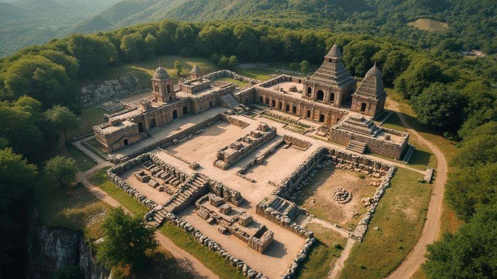
Roman Ruins Surveys
Roman ruins surveys have reached new heights with the use of UAVs, uncovering hidden facets of ancient history with precision and efficiency. By employing drone technology, archaeologists have been able to map extensive Roman fort networks, such as those along the German Limes, shedding light on ancient defense strategies. High-resolution cameras and LiDAR sensors capture detailed aerial imagery, revealing previously undocumented structures and enhancing our understanding of Roman military installations and urban planning.
Drone surveys have proven especially useful in complex archaeological sites such as Pompeii and Herculaneum. Here, drones create detailed 3D models that visualize the spatial relationships between structures, offering new insights without the need for disruptive ground excavation. Additionally, drones reduce the time required for data collection, allowing researchers to explore larger areas swiftly and thoroughly.
Discoveries Through Drone Technology
| Location | Discovery | Benefit |
|---|---|---|
| German Limes | Roman fort networks | Insights into defense strategies |
| Pompeii | Spatial relationships of structures | Detailed 3D models |
| Britain and Italy | Hidden Roman roads and settlements | Visualization of ancient landscapes |
| Herculaneum | Complex site documentation | Enhanced site understanding |
These case studies underscore drone technology's effectiveness in uncovering the intricate landscapes of Roman civilization, previously obscured by vegetation and urban development.
Prehistoric North America
UAV technology has significantly advanced the field of archaeology, particularly in the study of Prehistoric North America. By deploying UAVs, archaeologists can map and explore sites with unprecedented detail, uncovering hidden structures that traditional methods might miss. This approach has been transformative across several key regions.
- In the Great Plains, drones equipped with high-resolution cameras have documented earthworks and effigy mounds, revealing patterns indicative of complex social structures among ancient Indigenous cultures.
- In the American Southwest, aerial surveys have identified prehistoric cliff dwellings and petroglyphs, offering insights into the environmental adaptations and cultural practices of ancient inhabitants.
- LiDAR-equipped UAVs in New Mexico have unveiled extensive agricultural fields of the ancient Pueblo peoples, showcasing their sophisticated land-use practices.
- In the Pacific Northwest, UAVs have efficiently surveyed vast coastal sites, discovering prehistoric shell middens and artifacts that shed light on ancient maritime lifestyles.
These case studies illustrate that UAVs are transformative tools in archaeology, providing new perspectives that reveal intricate details of ancient civilizations. By employing UAV technology, archaeologists are uncovering the past in ways that were previously unimaginable, contributing to a deeper understanding of our shared heritage.
Ethical and Legal Considerations
Navigating the ethical and legal landscape of drone usage in archaeology requires a meticulous approach to ensure compliance with local regulations that protect cultural heritage. Ethical considerations are paramount, particularly regarding unauthorized excavations and looting. Collaborating with local communities is crucial to safeguard these sensitive cultural sites, fostering a sense of shared responsibility and respecting cultural heritage.
Drone operators must be vigilant about privacy laws, especially in populated areas. It's essential to balance the need for data collection with respect for the privacy of residents near archaeological sites.
The dissemination of drone-collected data also raises significant ethical concerns. If this information falls into the wrong hands, it could lead to site destruction. Establishing clear guidelines and best practices for drone use in archaeology is essential. These guidelines will help balance the innovative potential of drones with the need to preserve cultural heritage and respect the rights of local communities, ensuring responsible and sustainable drone usage in the field.
Future Prospects for UAVs
The future of UAVs in archaeology is incredibly promising, with advanced technologies like AI and machine learning set to revolutionize data processing and analysis. Significant improvements in archaeological surveys are on the horizon, thanks to UAV technology that will enable more efficient and accurate identification of archaeological features.
Here's what you can anticipate:
- Extended Flight Duration: Enhanced UAV designs will allow for longer flight times, enabling the survey of larger areas in a single mission.
- Real-Time Monitoring: Future applications will include real-time site condition monitoring, providing timely data to help respond to environmental changes or threats.
- Increased Payload Capacity: Advancements will allow drones to carry more sophisticated equipment, resulting in higher-quality data acquisition.
- Collaboration Growth: Expect increased collaboration between archaeologists and drone technologists, leading to innovative methodologies that blend traditional techniques with modern aerial capabilities.
As regulatory frameworks evolve, access to UAV technology for archaeological research is likely to increase. This will open doors to studies in previously inaccessible or sensitive areas, broadening the scope of exploration and discovery. The future of UAVs in archaeology is not just bright; it's revolutionary.
Related posts