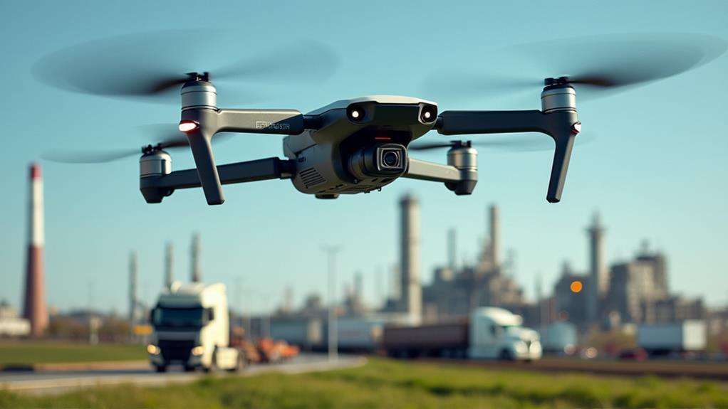
What Is a Level 4 Drone?
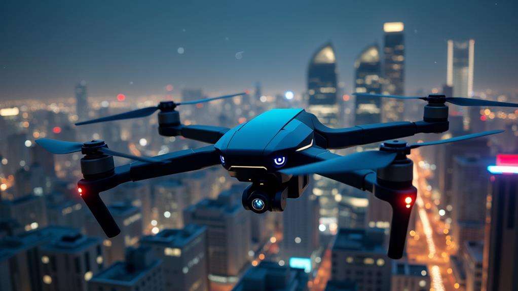
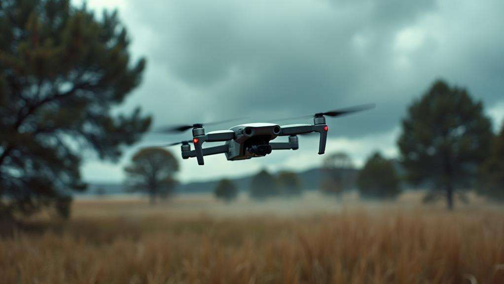
When considering the future of autonomous technology, a Level 4 drone represents a significant milestone. These drones navigate complex environments independently, utilizing advanced AI and an array of sensors such as lidar and high-resolution cameras. They can cover up to 16 million cubic meters in one flight without relying on GPS. Level 4 drones are transforming industries like mining and search and rescue by enhancing safety and efficiency. But what distinguishes these drones from earlier models is their advanced autonomy and sophisticated sensor integration.
Defining Level 4 Drone Autonomy
Level 4 drone autonomy marks a significant advancement in unmanned aerial technology. These drones are capable of navigating complex environments without human intervention, thanks to sophisticated AI systems that enable real-time decision-making. This capability allows them to explore areas such as mines and caves where traditional GPS-based navigation is ineffective.
These drones are remarkably efficient, able to cover up to 16 million cubic meters in a single flight, greatly surpassing lower autonomy levels. This enhancement not only improves data collection but also boosts the overall efficiency of drone operations.
A key feature of Level 4 drones is their ability to function autonomously in GPS-denied environments. Companies like Exyn Technologies equip their drones with lidar, cameras, and advanced computing systems, enabling independent operation. Unlike Level 3 drones, which require human intervention during emergencies, Level 4 drones can autonomously determine flight paths and navigate uncharted terrains.
Historical Milestones
On April 27, 2021, Exyn Technologies reached a significant milestone by achieving Level 4 autonomy for drones. This breakthrough enabled drones to navigate complex environments independently, setting a new standard in the industry. Let's now explore the subsequent technological advancements and major industry adoption milestones that followed this achievement.
Level 4 Autonomy Achieved
On April 27, 2021, Exyn Technologies announced a groundbreaking achievement in the drone industry: Level 4 autonomy. This milestone allows drones to navigate and explore without human intervention, enabling them to self-determine flight paths in complex environments. Such autonomy significantly enhances data collection capabilities compared to earlier levels.
Level 4 autonomous drones can operate in GPS-denied environments, making them ideal for missions like underground exploration. For instance, a drone can autonomously navigate a vast, pitch-dark cave system, mapping the area without human guidance. This capability is transformative for industries requiring precise and independent operations.
Additionally, these drones can cover up to 16 million cubic meters in a single flight, making them invaluable in critical sectors like search and rescue, where rapid, thorough area scans can be life-saving. Exyn's achievement places their drones among the most advanced commercially available systems, surpassing competitors typically limited to Level 2 or 3 autonomy. The future of drone technology is here, and it is more autonomous than ever.
Technological Breakthroughs Timeline
The journey to achieving Level 4 drone autonomy is marked by a series of remarkable technological milestones. On April 27, 2021, Exyn Technologies announced they'd reached a groundbreaking level in drone technology, achieving Level 4 autonomy. This milestone allowed drones to perform free-flight exploration without human operators, a leap from the capabilities of most competitors still at Level 2 or Level 3.
These Level 4 drones can fly at speeds exceeding 2 meters per second, double the standard of earlier models. This speed increase is crucial for covering large areas quickly, enhancing operational efficiency. For instance, a drone can cover up to 16 million cubic meters in a single flight—transforming industries like mining and construction.
What sets Level 4 drones apart is their ability to self-determine flight paths in complex spaces, even in GPS-denied areas. This feature is particularly vital for underground missions where traditional navigation systems fail. Exyn's advancements represent a significant leap forward, enabling drones to navigate autonomously and effectively in environments that were previously challenging or impossible to operate within. These milestones pave the way for even more sophisticated applications in the future.
Industry Adoption Milestones
Industries rapidly adopted Level 4 drones, recognizing their potential to revolutionize operations. When Exyn Technologies achieved Level 4 autonomy on April 27, 2021, it marked a pivotal milestone. This breakthrough allowed drones to perform free-flight exploration without human operators, navigating complex environments independently. With speeds exceeding 2 meters per second and the capacity to cover 16 million cubic meters in a single flight, these drones set new standards in efficiency for data collection and exploration.
In mining, Level 4 drones quickly became indispensable. They could venture into hazardous areas where human access was too risky or impossible, gathering critical data to optimize operations. Construction sites also saw massive benefits; these drones could autonomously survey large areas, providing real-time data collection that improved project management and safety.
Moreover, the ability to navigate without predefined flight paths or waypoints meant Level 4 drones could adapt to dynamic environments, making them ideal for industries requiring high levels of precision and adaptability. This autonomy not only reduced operational risks but also significantly cut down on time and costs associated with manual inspections and data collection. Thus, the adoption of Level 4 drones marked a transformative period across multiple industries.
Key Features
Imagine a drone that can navigate complex environments entirely on its own—Level 4 drones do just that. With level 4 autonomy, these drones operate without human intervention, charting their own flight paths and conducting thorough explorations. No need to manually set waypoints or guide its journey; the drone manages everything, significantly simplifying your tasks.
Exyn Technologies is at the forefront of this innovation, offering some of the most advanced Level 4 drones available. These drones can achieve flight speeds of over 2 meters per second and cover up to 16 million cubic meters in a single flight. This remarkable efficiency allows for rapid data collection over large areas, enhancing operational productivity.
A standout feature is their ability to operate in GPS-denied environments. Whether exploring underground mines or intricate cave systems, these drones perform reliably where others might fail. This capability opens up new possibilities for previously challenging or risky missions. Overall, Level 4 drones are revolutionizing the approach to complex and hazardous environments, setting new standards in safety and operational efficiency.
Technical Specifications
Level 4 drones boast flight speeds exceeding 2 meters per second and can cover up to 16 million cubic meters in a single flight. These drones are particularly effective in GPS-denied environments such as underground mines, thanks to their advanced sensors, which include lidar and cameras. Their autonomous navigation capabilities allow for self-path determination and high-resolution data capture without human intervention.
Flight Speed and Coverage
How fast can a Level 4 drone fly? These drones can achieve flight speeds of over 2 meters per second, which is double the speed of previous standards. This significant boost in speed enhances their efficiency, making them ideal for time-sensitive missions. But speed isn't their only impressive feature; their coverage is equally notable. A single flight of a Level 4 drone can cover an astounding volume of 16 million cubic meters. This capability allows for comprehensive data collection without the need for multiple flights, saving both time and resources.
Here's a quick comparison of key specifications:
| Feature | Level 4 Drone |
|---|---|
| Flight Speed | Over 2 meters/second |
| Coverage | 16 million cubic meters |
| Autonomy | Full |
The advanced engineering of Level 4 drones enables them to maneuver in three axes, adapting seamlessly to complex terrains during flight. This makes them exceptionally versatile for various applications. Whether you're examining rugged landscapes or conducting detailed surveys, these drones offer the perfect blend of speed and extensive coverage. Their autonomous operation further simplifies the process, eliminating the need for manual waypoint programming.
GPS-Denied Environment Capabilities
Level 4 drones excel in GPS-denied environments, making them indispensable for missions in underground locations like mines and caves. These advanced drones operate without external GPS signals, which are often unavailable in such settings. Instead, they use sophisticated sensors like lidar and high-resolution cameras to autonomously navigate and map their surroundings.
With Level 4 Autonomy, these drones can determine their flight paths independently, allowing them to adapt in real time to complex and dynamic environments, such as tunnels with changing obstacles or narrow cave passages. They continuously assess the environment and adjust their routes to handle both static and moving obstacles.
A standout feature of Level 4 drones is their ability to cover vast areas; for instance, they can explore up to 16 million cubic meters in a single flight. This extensive coverage is crucial for large-scale underground missions, like mine inspections, where traditional methods might be too dangerous or time-consuming. Overall, Level 4 drones' GPS-denied environment capabilities ensure reliable and safe performance in some of the most challenging conditions imaginable.
Self-Path Determination Features
Level 4 drones are set to revolutionize autonomous navigation with their advanced self-path determination features. Leveraging state-of-the-art autonomy, these drones can independently navigate and map complex, uncharted environments without human intervention. Picture a drone exploring underground mines or deep caves where GPS signals are non-existent. These drones don't just fly; they think.
Equipped with cutting-edge technology, Level 4 drones autonomously generate high-resolution lidar maps, covering up to 16 million cubic meters in a single flight. This capability eliminates the need for setting waypoints or conducting multiple flights to gather sufficient data, significantly improving operational efficiency and reducing mission time.
The technology enables seamless three-dimensional maneuvering, allowing the drone to navigate unique engineering challenges. Whether zipping through narrow tunnels or avoiding obstacles, the drone's self-path determination ensures efficient handling of cluttered spaces. These features make Level 4 drones ideal for precision-demanding applications such as search and rescue missions, geological surveys, and more. With Level 4 autonomy, the system's control is truly next-level.
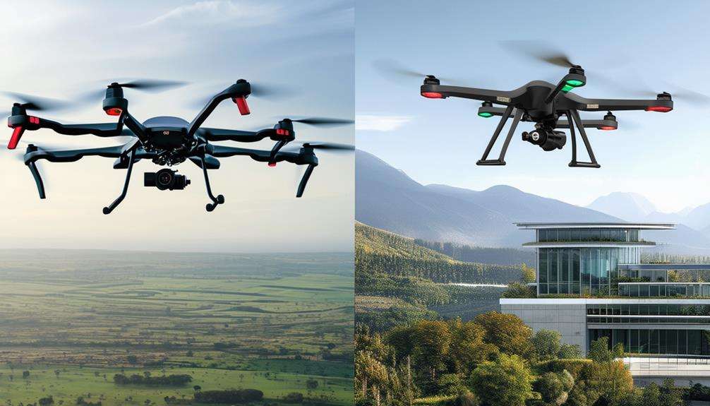
Advantages Over Lower Levels
When comparing Level 4 drones to their lower-level counterparts, the advantages are immediately evident. Thanks to Level 4 Autonomy, these drones can explore and map complex environments autonomously, greatly enhancing operational efficiency. Unlike Level 3 drones, which still require pilot oversight during emergencies, Level 4 drones operate independently, allowing you to focus on other critical tasks.
Here are four key advantages of Level 4 drones over lower-level drones:
- Operational Efficiency: Level 4 drones autonomously explore and map vast areas, covering up to 16 million cubic meters in a single flight. This level of efficiency surpasses that of Level 2 and Level 3 drones, which are limited by predefined waypoints.
- GPS-Denied Environments: Level 4 drones excel in challenging conditions such as underground exploration, where GPS signals are unavailable. Lower-level drones struggle in these scenarios, making Level 4 drones invaluable for search and rescue missions.
- Advanced Obstacle Avoidance: These drones navigate cluttered and dynamic environments with advanced obstacle avoidance capabilities, outperforming Level 2 and Level 3 drones in handling complex spaces.
- High-Resolution Mapping: Level 4 drones autonomously generate high-resolution lidar maps, providing superior situational awareness and data accuracy. This is crucial for applications such as search and rescue and infrastructure inspections.
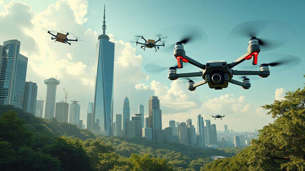
Applications and Use Cases
Imagine a tool that could revolutionize search and rescue missions, industrial inspections, and surveillance operations. Level 4 drones, equipped with advanced autonomy, offer precisely this capability. These unmanned aircraft can explore areas up to 16 million cubic meters without human intervention. Whether scanning dense forests for missing persons or inspecting sprawling industrial facilities, these drones handle it all efficiently.
In search and rescue missions, Level 4 drones excel by navigating complex terrains and locating individuals in GPS-denied areas like mines and caves. Their ability to autonomously determine flight paths enables them to cover challenging environments effectively, enhancing rescue success rates.
For industrial inspections, these drones are transformative. They autonomously inspect structures in hazardous environments, such as construction sites or mines, ensuring human workers remain safe. This capability significantly reduces inspection time and increases safety.
Surveillance operations also benefit from Level 4 autonomy. Whether monitoring large-scale events or securing borders, these drones provide real-time data without continuous human intervention, making them indispensable for maintaining security and efficiency.
AI and Sensor Integration
Exploring AI and sensor integration in Level 4 drones reveals how real-time data interpretation significantly enhances their capabilities. Advanced obstacle detection and sophisticated navigation systems enable these drones to autonomously navigate complex environments, adapting to dynamic conditions and efficiently covering extensive areas. This technology ensures reliable performance and seamless interoperability with other systems.
Real-time Data Interpretation
Level 4 drones, leveraging advanced AI and sensor technology, revolutionize real-time data interpretation to enable autonomous navigation in complex environments without human intervention. These drones utilize sophisticated AI systems to process real-time data from various sensors, such as lidar and high-resolution cameras, to instantly understand their surroundings.
Here's how real-time data interpretation operates for Level 4 drones:
- Dynamic Path Planning: The AI continuously analyzes sensor data to adapt flight paths based on the changing environment, ensuring safe and efficient navigation.
- GPS-Denied Operation: Level 4 drones can navigate challenging environments like underground mines by relying solely on sensor data, eliminating the need for GPS.
- Improved Task Efficiency: Enhanced data interpretation allows these drones to perform tasks such as mapping and inspections with greater accuracy and efficiency, processing large volumes of data in a single flight.
- Autonomous Decision-Making: Real-time data interpretation enables drones to autonomously avoid obstacles and select optimal routes, ensuring mission success without human input.
Advanced Obstacle Detection
Advanced obstacle detection in Level 4 drones leverages real-time data interpretation to achieve unparalleled autonomous navigation. Equipped with sophisticated AI algorithms and integrated sensors like lidar, cameras, and lights, these drones can detect and navigate around obstacles in complex environments without human intervention.
Your Level 4 drone generates high-resolution maps and makes real-time decisions, avoiding narrow obstacles and dynamic entities such as vehicles and pedestrians. This swift reaction ensures safe and efficient operation.
A standout feature of these drones is their adaptability to environmental conditions. For instance, in dusty settings, the drone pauses and reassesses, recalibrating its path to maintain optimal performance. This adaptability ensures consistent, reliable operation regardless of the surroundings.
With 3D mapping capabilities, the drone can map up to 16 million cubic meters in a single flight, allowing it to explore and cover vast areas effortlessly. Continuous advancements in AI and sensor technology enhance situational awareness, enabling the drone to tackle complex navigation challenges with ease.
Enhanced Navigation Systems
Enhanced navigation systems in Level 4 drones revolutionize autonomous flight by integrating AI and advanced sensors. These drones use sophisticated AI algorithms to autonomously determine flight paths, making them efficient and safe in complex environments. They can navigate GPS-denied areas like mines and caves thanks to their sensor suite, which includes lidar, cameras, and lights. This capability allows them to generate high-resolution maps, ensuring effective operation where traditional GPS systems fail.
With Level 4 autonomy, these drones can cover vast areas, exploring up to 16 million cubic meters in a single flight. They adapt to their surroundings in real-time, autonomously avoiding dynamic obstacles such as humans and vehicles. This makes them versatile for various applications, from industrial inspections to search and rescue missions.
Key features of these enhanced navigation systems include:
- AI Algorithms: Enable self-determined flight paths without human intervention.
- Sensor Suite: Lidar, cameras, and lights for high-resolution mapping.
- Obstacle Avoidance: Real-time adaptation to dynamic obstacles.
- Vast Coverage: Explore up to 16 million cubic meters in one flight.
Enhanced navigation systems improve situational awareness and decision-making capabilities in real-time operational scenarios.
Regulatory Challenges
Navigating the regulatory landscape for Level 4 autonomous drones is not just challenging; it is crucial for their successful integration into shared airspace. These drones, capable of operating without human intervention, face significant regulatory hurdles. Ensuring compliance with aviation laws, originally designed for manned aircraft, is one of the primary concerns.
A robust regulatory framework is essential to guarantee safety and operational compliance. Without it, the production and deployment of Level 4 drones will be severely limited. Ongoing discussions among government bodies and aviation sectors are crucial to defining new regulations that can seamlessly incorporate these drones into the current airspace system.
For Level 4 drones to operate safely, they must integrate flawlessly with air traffic management systems, minimizing collision risks and ensuring smooth operations in complex environments. Regulatory challenges, including pilot requirements and operational permissions, add layers of complexity, particularly for commercial applications. Addressing these challenges is essential to pave the way for the safe and efficient use of Level 4 autonomous drones in our skies.
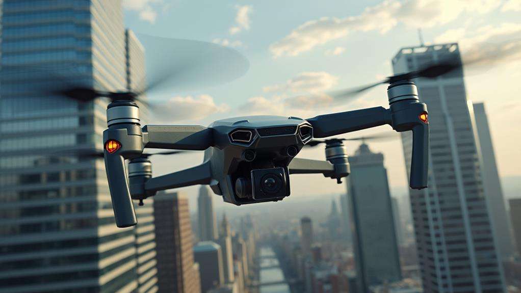
Industry Impact
Level 4 drones, capable of autonomous free-flight without human intervention, are poised to revolutionize multiple industries by significantly enhancing operational efficiency and safety. These advanced drones can navigate complex environments and cover vast areas at speeds exceeding 2 meters per second. Their capabilities are transforming sectors such as search and rescue, surveillance, and infrastructure inspections.
Imagine your company inspecting critical infrastructure in previously inaccessible or hazardous areas. Level 4 drones can navigate through 16 million cubic meters in a single flight, providing higher quality data and improving safety for human workers. Moreover, they can operate in GPS-denied environments such as underground mining sites, making them invaluable in the mining and construction industries.
Here are four ways Level 4 autonomy is impacting industries:
- Operational Efficiency: Drones perform tasks faster and more accurately, reducing the need for manual inspections.
- Safety: Autonomous operations remove human operators from dangerous environments, minimizing risk.
- Data Quality: Enhanced sensors and autonomous navigation deliver superior data collection, meeting industry standards.
- Cost Reduction: Automation reduces labor costs and operational downtime.
These advancements are attracting major customers in logistics, mining, and construction, driving growth and innovation in the unmanned aircraft industry.
Future Developments
Future advancements in drone technology promise significant strides in autonomy and operational efficiency. Current drones with Level 4 autonomy, exemplified by Exyn Technologies, already excel in free-flight exploration without human intervention. The next milestone is Level 4B autonomy, emphasizing collaborative multi-robot systems or swarms. This will enable drones to work together seamlessly, enhancing their operational efficiency in complex environments.
| Development Stage | Key Features | Potential Applications |
|---|---|---|
| Level 4 Autonomy | Free-flight exploration without human operators | Mining, Construction, Logistics |
| Level 4B Autonomy | Collaborative multi-robot systems (swarms) | Enhanced operational efficiency in complex environments |
| Level 5 Autonomy | Complete independence from human input | Broad industrial applications |
Future developments aim to tackle unique engineering challenges, such as enabling drones to operate in GPS-denied environments like underground missions. The commercialization of Level 4 drones will continue to expand their applications in sectors where autonomous capabilities are essential. Ultimately, achieving Level 5 autonomy, where drones operate entirely without human input, will unlock new possibilities across various industries. Staying updated on these advancements is crucial for fully leveraging the transformative potential of these cutting-edge technologies.